[Koeman: J. Col 6 A (Portuguese)]
Library of Congress G1059. C64 1669 vault; Phillips 480
by Jason Hubbard
The following is a key to the abbreviations used.
| Plate No: | Number engraved on plate, if any. |
| Pos: | Position of the chart in the Atlas. |
| Ref: | Appearance of the same, or similar, chart in other Colom Atlases listed by Koeman. |
| Size: | Height vs. width, within ½ cm. As insets are mostly irregular, their measurements are frequently preceded by a circa, or c. Note that the measurements given for same chart included in two different Atlases can vary due to shrinkage or stretching of the paper caused by changes in humidity and temperature over long storage periods as well as from the results of restoration. |
| Scale: | Colom included a scale bar in the majority of his charts, showing Duytsche mylen, Spaensche mylen and Engelse en Franse mylen. 15 German, 17.5 Spanish or 20 English or French miles corresponding, in turn, to 1º of latitude as measured along the equator. For the purposes of these collations, all measurements were taken from the scale bar in Duytsche mylen. In converting, I have used the figure mentioned in Doursther, H. Dictionnaire Universel des Poids et Mesures, republished by Meridian, Amsterdam, 1965. Doursther states the German Meile as being 7.4089 km., so 15 German miles would represent 111,133.5 mts. or 1°. I have chosen to show the resulting scale for each chart, though these numbers should be taken as approximate due to the limitations involved in precise measurement and the changes undergone by the paper over three and a half centuries as mentioned above. |
[Engraved title page:] Atlas / Maritimo / O / Mundo Aquatico, / O qual Conteim hua breve / Descripsao / De todas as conoçidas / Costas Maritimas / Da / Terra. / Novamenta Sacado a luz, Por / Iacob Colom, / Insignia da Colonna Ardente. / En Amsterdam 1669. / [Portuguese title appears to be overprinted from a separate plate.] [Printed title page:] Atlas Maritimo / O / MUNDO AQUATICO / O qual conteim hua breve / Descripsao, / De todas as conoçidas / Costas Maritimas / Da / TERRA. / Novamente Sacado a luz, Por / Arnold Colom. / (Printer’s device: Coat of arms of Amsterdam) / En Amsterdam, / Cerca da Ponte Novana insignia, da / Colonna Ardente.
[Printed title page:] Zee-Atlas, / Ofte / Water-Wereldt. / Inhoudene een korte / Beschryvinge / Van alle de bekende / Zee-Kusten / Des Aardtrycks. / Nieuwelijcks uyt-ghegheven, door / Arnold Colom. / (Printer’s device: Coat of arms of Amsterdam)
Large folio, 56.5 X 36.5 cm.; rebound, ¼ calf. 3 pp. Prologo Ao Letor plus Descripsao Maritima de Todo o Mundo followed byprinted list of maps, with Portuguese text header, Al Lector. . .of 52 maps and charts. 51 folio charts numbered in m/s. [Chart 16, a foldout, as per the list of charts is counted as two charts.]
The Library of Congress copy differs from that of the Maritime Museum “Prins Hendrick” described in Koeman J. Col 6 A. The last two charts normally included in this Atlas have been omitted here, and replaced by the earlier charts of Arnold Colom. Those are:
1) t Suyder-deel van / America / Nieulyx uytgegeven / TAmsterdam, / By Iacob Colom op t Water / Aº. 1663., and
2) Zuyd-Zee / tAmsterdam, / By Iacob Colom op t Water. Also, chart (41) in the Library of Congress copy is dated 1668 whereas that contained in the Maritime Museum’s copy is dated 1662.
All charts with wide borders. Contemporary color.
| Plate No: | Pos: | Ref: | Title: | Size (H X W): | Scale: |
| (1) | J. Col 1 (1)Shirley 381i | Nova Totius Terrarum Orbis Geographica Ac Hydrographica Tabula. Auct. Iacobus Colom. | 38.5 X 54 cm. | 1:100 mill | |
| I | (2) | J. Col 7 (1) | Nieuwe / Pascaarte / op hare rechte / Distantie en / streckingen / beschreven door /Jacob Aertsz. / Colom. Insets: a) [Untitled:] Spitsbergen b) Canarise Eylanden, c) Vlaamße Eylanden | 60 X 64 cm.c.12.5 X c.10 cm.10 X 9.5 cm.10 X 6.5 cm. | 1º = 15.5 mm.1:7.2 mill |
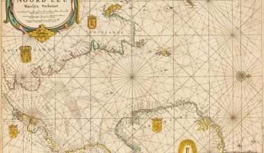
| (3) | J. Col 42 B (2)(Aº.1650) | Pas-Caarte / Van De / Noord-Zee / Nieulijx Verbetert. [Separate cartouche:] Tot Amsterdam, / Bij / Iacob Colom. / Ao.1668 [Date has been altered from 1662.] | 54 X 63 cm. | 1º = 41 mm.1:2.7 mill | |
| (4) | J. Col 42 B (21) | Nieuw / Verbeterde / Oost-Zee. / By / Iacob Colom Inset: [Untitled:] Easternmost part of the Baltic Sea. | 54 X 63.5 cm.13.5 X 13 cm. | 1º = 72 mm.1:1.5 mill | |
| (5) | J. Col 42 B (26) | Oosterdeel / van de / Oost-Zee. / Bij / Iacob Colom. Inset: [Untitled] Oostfinlandt | 54.5 X 64.5 cm.20 X 19 cm. | 1º = 190 mm.1: 585,000 | |
| III | (6) | J. Col 1 (3)*J. Col 7 (3)J. Col 9 (2)** | Pascaarte, / Vande Zuijderzee Vliestroom, / Vlie, en Amelandergat. / [Separate cartouche:] TAmsterdam, / Bij Jacob Aertsz. / Colom op t / Water. Inset: Pampus, / en het Y / tot Amsterdam. Added title: “La Mer Meridionale / la Fleuve du Flie, / et les Trous du flie et / d’Amelandt.” | 36.5 X 51.5 cm.c.16.5 X c.22.5 cm. | 1º = 565 mm.1: 195,000 |
| 39 | (7) | J. Col 42 B (5) | [Untitled]. Chart of the Frisian, East Frisian and North Frisian Islands. [Printed from three plates.] | 54 X 63 cm. | 1º = 230 mm.1: 485,000 |
| 4 | (8) | J. Col 7 (4)J. Col 9 (3)*** | Pascaerte vande Wester en Ooster Eemsen, / De Weser, Elve, De Eyder met de ander / Seegaten tußchen Amelandt èn de Eijder. / Tot Amsterdam, / Bij Iacob Aertsz. Colom. With three columns listing some of the place names on the rivers Elve, Eyder, Iaa, Weser and in Eemsen and on the Scholbach, Lauwers and Schille. | 37.5 X 53.5 cm. | 1º = 302 mm.1: 370,000 |
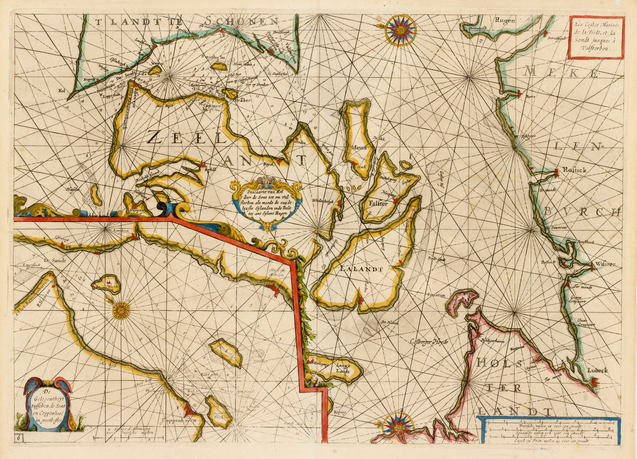
| (9) | J. Col 42 B (6) | Pas-Caarte / van’t / Schager-Rack, / De / Sondt / en de / Belt. / Door Iacob Colom. Inset (octagonal): [Untitled] Coppenhaven | 54 X 64 cm.9.5 X 10.5 cm.. | 1º = 198 mm.1: 560,000 | |
| 43 | (10) | J. Col 42 B (7) | De Custen van Noorwegen / vande Paternosters tot Schutenes / By Iacob Colom Met Previlegie voor / 18 Iaren. [Printed from three plates.] | 54.5 X 64 cm. | 1º = 250 mm.1: 445,000 |
| (11) | J. Col 4 (10) | Noord Zee / van beoosten Amelant Rottum, tot / door de Hoofden Neulyx beschrevê / door / Iacob Colom / opt Water aende Corenmerckt. | 55 X 64 cm. | 1º = 210 mm.1: 530,000 | |
| 5 | (12) | J. Col 42B (32)J. Col 40 (5) (upper plate) | De Cust van Hollant / Tusschen Texel en de Maes / by Iacob Colom opt Water / Inde Vijerige Colom. Printed from two plates. The upper one is plate no. 5 from the Upright Fyrie Colomne, the lower one contains only the extension of the rhumb lines. | 49.5 X 55 cm. |
| 25 | (13) | J. Col 1 (4)J. Col 7 (25)J. Col 29 (28) | (a) De / Teßelstroom / met de / Gaten van / Marsdiep. Add. title: “Le Fleuve de Texel les / Trous de Marsdiep et / Goeree et außi la Meuse.” Inset: Caarte vande Reede end Haven van / Medenblick hoemen die Coomende soovâ / tWieringer als vriesch vlack bezeylê / mogen tot dienst ende mut voor alle Zee / varende Iuyden perfectelyc gemet? afge: / peylt ende beschreyv? A0 1614 uyt speciale last / vande E.H. Burgemeesteren ende Reger: / ders der vorß Stadt Medenblick. (b) De Mase / met het / Goereesche / gat. Two separate charts printed on one page. | 37.5 X 25.5 cm.c.24.5 X c.11 cm.37.5 X 27.5 cm. | 1º = 535 mm.1: 210,0001º = 795 mm.1: 140,000 |
| 26 | (14) | J. Col 1 (5)J. Col 7 (26)J. Col 29 (29) | Pascaarte / vande / Wielinghe / t Veer gat t gat van Zierickzee en / Brouwershaven: Nieulijcx beschreven / door Iacob Aertz. Colom. / Add. title: “Carte Marine de Trous de / Wielinges et außi les Trous de / Zierickzee, et der Veere.” Koeman: “Altered state of no 26 from the Vyerighe Colom. Sandbanks replace vessel in lower left corner.” | 38.5 X 53.5 cm. | 1º = 625 mm.1: 180,000 |
| 27 | (15) | J. Col 1 (6)J. Col 7 (27)J. Col 29 (30) | De Custe van / Vlaenderen en Vranckrijk. / Van Wenduynen tot Tresport. en- / De Custe van Engelandt vandt / Voorlandt tot de Cingels / Nieulijcx Beschreven door / Iacob A. Colom. Add. title: “Les Costes Marines de / Vlanderen et les pas de Calai.” | 38.5 X 53.5 cm. | 1º = 338 mm.1: 330,000 |
| (16/17) | J. Col 4 (15/16) | Paskaert / Van de Zeeusche en Vlaemsche Kusten, / tonende alle drooghte, diepten, en ontdiepten, / tusschen t eylandt Schouwen en de Hoofden, / curieuselyck beschreven door / Dirck Davidsz. | 43 X 93 cm. | 1º = 585 mm.1: 190,000 | |
| XI | (18) | a) Pascaerte / Vertoonende de Mont vande / Teemse en voort de Custe / van Engelandt tot Crammer, Add. title: Les Costes d’Engleterre / depuis le Voorlandt / jusques à Crammer b) [Inset] De Reviere / van Londen. / T. Amsterdam. / Bij Jacob – Aertsz Colom | 37 X 52.5 cm.10 X 31.5 cm. | 1º = 340 mm.1: 325,0001º = 368 mm.1: 300,000 | |
| 48(2 X on chart)49(2 X on chart) | (19) | J. Col 40 (50)J. Col 40 (51) | De Custen van Engelant van / Crammer to verby Nicasteel. / By / Iacob Colom, met Privilege voor / 18 Iaren De Custen van Engelandt en Schotlandt / tußchen Tinby en de Eylanden van / Orcaneße. / By Iacob Colom, Met Previlege voor / 18 Iaren. | 24.5 X 55 cm.24.5 X 55 cm. | 1º = 2041: 545,0001º = 125 mm.1: 890,000 |
| XII | (20) | De Custen van Engelandt en / Schotland tußchen Tinbij en / de Eylanden van Orcaneße | 39 X 52.5 cm. | 1° = 125 mm.1: 890,000 | |
| (21) | Shirleyii, Colom 3., 2nd stateJ. Col 42 B (29) | ‘T Canaal en Yerlandt. / Nieulijcx Verbetert, / door / Iacob Aertsz Colom. 1668. [Date altered from 1662.] | 54.5 X 64 cm. | 1º = 49 mm.1: 2.3 Mill. | |
| (22) | J. Col 42 B (39) | West Cust / van / Schotlandt, / Bij / Iacob Colom. | 54 X 64 cm. | 1º = 236 mm.1: 470,000 | |
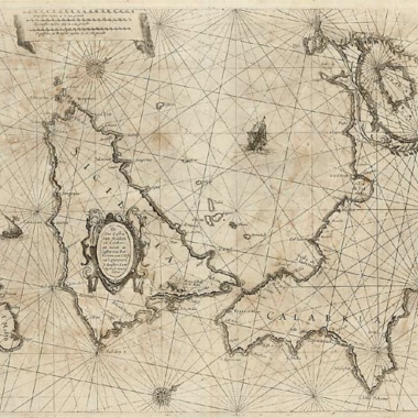
| (23) | J. Col 42 B (35) (Aº.1651) | Ooster-deel / van / ‘T Canaal / door / Iacob Colom / Aº. 1662 | 54.5 X 64.5 cm. | 1º = 241 mm.1: 460,000 | |
| (24) | J. Col 42 B (36)(Aº.1651) | Wester / Deel / van ‘t / Canaal / Door / Iacob Colom / Opt Water/ Aº 1662 | 54 X 64 cm. | 1º = 240 mm.1: 465,000 | |
| 10(twice on chart) | (25) | J. Col 40 (10) | ‘t Canaal van Bristou / Nieulyx beschreven / door Iacob Aertß. Colom. / met Privilegie. Inset: Sorlinges Printed from three plates. The first is plate 10 from the Upright Fyrie Colomne, the second shows the East coast of Ireland and the third extends the rhumb lines into the lower left corner. | 53 X 64 cm.c.11 X 12.5 cm. | 1º = 159 mm.1: 700,000 |
| (26) | J. Col 4 (21) | De Bocht van Vranckryck / oock t Canaal aen te doen, comende / uyten Westen door Iacob Colom. | 53 X 64.5 cm. | 1º = 68 mm.1: 1.6 Mill. | |
| (27) | Nieu-Verbeterde / Pascaarte, / door / Iacob Colom. / 1668 [Date has been altered from 1662.] Chart of the western approaches to Europe from the south coast of Ireland to the straits of Gibraltar. | 54 X 63 cm. | 1º = 37 mm.1: 3 Mill. | ||
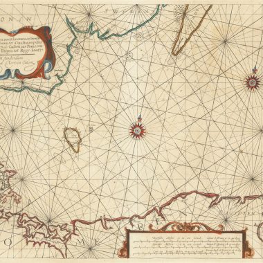
| I | (28) | J. Col 1 (10)J. Col 30 (1) | Pascaarte / vande / Middellantsche. Zee / Nieulycx beschreven door / Iacob Aertsz / Colom. Chart divided into two parts showing the eastern and western Mediterranean, containing four separate listings of islands. | 37.5 X 53 cm. | 1º = 19 mm.1: 5.8 Mill. |
| (29) | Westerdeel / der /Middelantsche Zee / Nieulyx Beschreven / door / Iacob Colom. Insets of ports: a) Bona b) Saragoßa c) Baya de Agde in Languedoq d) P. Farina e) Sufa f ) Sardinia (south coast) g) Alcol h) Alzyra Four additional insets listing the names of islands on the African coast, those near Sicily, Sardinia, Corsica and Majorca, islands of Provençe, and Italian islands. | 54 X 62 cm.6 X 12 cm. 6 X 12 cm. 6 X 12 cm. 6 X 12 cm. 6 X 12 cm. 7.5 x 9.5 cm. 7.5 x 9.5 cm. 6 X 9.5 cm. | 1º = 33 mm.1: 3.4 Mill. | ||
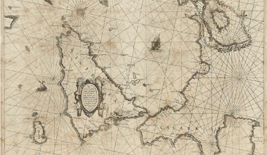
| (30) | Ooster Deel / der / Middellantse Zee / Nieulycx Beschreven / by / Iacob Colom. Insets: a) [Untitled] Adriatic Sea. b) [Untitled] Malvasia opt Eylant / Morea. c) Golf van Constantinopolen / Nieulyx Beschreven / door Iacob Colom 16( )6 [third digit in date unreadable]. Two additional insets listing the islands in the Venetian and Greek seas and in those in the region of Cyprus and Crete. | 53.5 X 63 cm.13 X c.23 cm.8 X 8.5 cm.14 X 29 cm. | 1º = 36 mm.1: 3.1 Mill.1º = 80 mm.1: 1.4 Mill. | ||
| 31, 32(twice on chart)31 | (31) | J. Col 40 (34)J. Col 4 (24)J. Col 42 B (53)J. Col 40 (32)J. Col 7 (41) | (a) [Right side] Custe van Barbaria van / C. de Geer tot verby / C. Verde / By Iacob Colom. Separate sheet printed with extension of rhumb lines pasted below. (b) [Left side] Pascarte van Barbarische / cust mitsgaders van de / Carnarische en Vlaemsche / Eijlanden. [Separately:] Met privilegie der Ed. H. M. / Heeren Staten Generael / voor twaelf jaren. Add. title: “Les Costes Marines / de Barbaria et Algar: / ve de Port a Port jus: / ques a Bajador.” The two charts, depicting the coastline from Port a Port in Portugal to the Gambia and Cape Verde islands, have been placed side-by side, but the northern of the two appears with the text in the cartouches inverted. Chart (b) is made up of two plates, one, 23.5 X 28 cm., containing the geographic information, and the other, 14.5 X 28 only containing the extensions of the rhumb lines. | 23.5 X 28 cm.plus extension:14 X 27.5 cm.36 X 26 cm. | 1º = 16 mm.1: 7 Mill.same scale |
| 41 | (32) | J. Col 4 (25)J. Col 7 (42) | (a) De Cust van / Barbarijen van Out Mamora / Tot Capo Blanco (b) De Cust van / Barbarijen van Capo Blanco / Tot Capo de Geer. bij / Jacob Aertsz Colom. Add. title: Les Costes de Barbarije / depuis viel Mamora jus / ques. a Cabo de Geer (c) De Reede van Punte / del Gada int eijlandt / S. Michiels Inset: [Untitled headland] (d) De Reede voor de Stadt / Angra int eijlandt Torcera (e) De / Eijlanden Madera / en Porto Santo | c.13 X 53 cm. c.14 X 53 cm.11 X 12 cm. 5 X 5 cm. 11 X 21.5 cm. 11 X 18.5 cm. | 1º = 224 mm.1: 495,0001º = 188 mm.1:590,0001º = 123 mm.1:905,000 |
| 42 | (33) | J. Col 7 (43) | (a) De Eijlanden Lan / cerota / Forteventur / Groot Canarien / Teneriffa en I. / Gomera (b) [inset] De / Eijlanden / van / Palma en / Ferro. (c) [inset] De / Tij havens Porto / de Naos en Porto de / Cavallos aende Zuijd: / Oostsijde van Lan: / cerotta. Title added: “Les Costes de Lancerotta. / Forteventura grand Can: / aria Teneriffa I. Gomera. / Palma et Ferro. “ | 37.5 X 53 cm.24.5 X 12.5 cm.11.5 X 14.5 cm. | a) 1º = 117 mm.1:950,000b) 1º = 189 mm.1: 590,000 |
| (34) | J. Col 4 (27) Burden (Bur)iii 312 (for ill. of full chart). | [Untitled:] (Chart of the South Atlantic) by Iacob Aertz. Colom. Op’t water, inde vijerighe Colom. Koeman: …the lower right sheet of the large Portolan chart of the Atlantic (West Indische Paskaart)… | 45 X 47.5 cm. | 1º = 8 mm.1: 13.9 Mill. | |
| (35) | J. Col 4 (28)) | (a) Zuyd West Cust / van / Africa. / van Monte Negro tot Cabo de Bona / Esperanca van nieus beschreven / By Iacob Colom aende. / Corenmerckt op t Water. / Anno. 1668. (b) Inset: Vlees bay; Agoa de S. Bras. (c) Inset: [Untitled] Cape of Good Hope | 43 X 54.5 cm.11X 9.5 cm.13 X 19 cm. | 1º = 67 mm.1: 1.7 Mill. | |
| (36) | J. Col 1 (20)J. Col 4 (29)SchilderivMap 42 | Oost-Indische / Pas-Caart / Nieulijcks Beschreven / Door / Iacob Aertsz. Colom [This chart together with 37 Oost-Indien / Oosterdeel form a large-scale chart of the Indian Ocean as illustrated in G. Schilder’s Australia Unveiled.] | 63 X 45.5 cm. | 1º = 7.5 mm.1: 14.8 Mill. | |
| (37) | J. Col 1 (21)J. Col 4 (30) | Insula / Zeilan / olim / Taprobana / nunc incolis / Tenarisim. Amsterdam. [Separate:] By. Iacob Colom opt. water. 1663. | 39.5 X 50.5 cm. | 1º = 105 mm.1: 1.1 Mill. | |
| (38) | J. Col 1 (22)J. Col 4 (31)Schilder Map 42 | Oost-Indien / Oosterdeel. [This chart together with No. 36 Oost-Indische / Pas Caart / Nieulycks Beschreven… form a large-scale chart of the Indian Ocean as illustrated in G. Schilder’s Australia Unveiled. This portion of the chart has been updated by filling in the northern coastline of Australia.] | 61.5 X 46 cm. | 1º = 7.51: 14.8 Mill. | |
| (39) | J. Col 1 (23)J. Col 4 (32) | Insularum / Moluccarum / Nova Descriptio. / Iacob Colom. | 40 X 53 cm. | 1º = 400 mm.1: 280,000 | |
| (40) | J. Col 4 (33) | Noordoost Cust / van / Asia / van Iapan tot / Nova Zemla. / By Iacob Colom / Aen de Corenmerckt / op t Water. | 42.5 X 54 cm. | 1º = 9 mm.1:12.4 Mill. | |
| (41) | J. Col. 42 B (12)(Aº.1650) | Nieuw / Verbeterde Pascaart / Bij / Iacob Colom / Aº 1668. [Date has been altered from 1662.] Inset: Ian Mayen Eylant | 53.5 X 63.5 cm.9 X 28 cm. | 1º = 21 mm.1: 5.3 Mill. | |
| (42) | J. Col 4 (35)J. Col 9 (14)Burden 398 | Pas caerte van / Groenland. / Ysland Straet Davids en Ian Mayen Ey: / land hoemen deselvige van Hitland en de noort / kusten van Schotland en Yrland bezeylen mach. / t Amsterdam. / By Iacob Colom. | 38 X 53 cm. | 1º = 14.5 mm.1: 7.7 Mill. | |
| (43) | J. Col 4 (36)Burden 399, state 1. | Paskaert / van de Noordelijckste kust? / van / America / Van Groenland door de Straet Davis / en de Straet Hudson tot Terra Neuf / Bij Iacob Colom. / Aen de Corenmerckt. / Aº.1668. | 42.5 X 54 cm. | 1º = 14.5 mm.1: 7.7 Mill. | |
| (44) | J. Col 4 (37)Burden 374 | Pas caerte van / Terra Nova / Nova Francia Nieuw Engelandt en de / grote Rivier van Canada. / t Amsterdam. / By Iacob Colom. | 37.5 X 53.5 cm. | 1º = 23 mm.1: 4.8 Mill. | |
| (45) | J. Col 4 (38)Burden 376, state 2 | Pas-Caarte / van / De Vlaemse, en Groen- / Eylanden, tot de Caribse Ey- / Landen, mitsgaders de zee- / Custen vant vaste Lant, daer / bezuyden, en benoorden, / Door Iacob Colom. | 42 X 54 cm. | 1º = 8 mm.1: 13.9 Mill. | |
| (46) | J. Col 1 (14)J. Col 4 (41)Burden 375,state 2 | [Untitled] (Nieu Nederlant) TAmsterdam / By Iacob Colom. Inset: [Untitled] (Virginia) | 37.5 X 53.5 cm.10.5 X 11 cm. | 1º = 53.5 mm.1: 2.1 mill | |
| (47) | J. Col 1 (15)J. Col 4 (42)Burden 377 | De Eylanden en de Vastelanden / van Westindien op de Noord zee. (Followed by long text on sailing directions to Bermuda.) Inset: [Untitled] (Gulf of Mexico) | 38 X 53 cm.10 X 11 cm. | 1º = 15.5 mm.1: 7.2 mill | |
| (48) | J. Col 4 (43)J. Col 1 (16) | [Untitled] (Islands of the Caribbean Sea, Puerto Rico, Trinidad and Margarita, etc.) By Iacob Colom op t Water. | 39 X 53 cm. | 1º = 40 mm.1: 2.8 Mill. | |
| (49) | J. Col 4 (39) | Pas Caert vande / Vlaemsche / Eylanden. / TAmsterdam, / Bij Iacob Colom op t Water. | 37.5 X 49 cm. | 1º = 66 mm.1:1.7 mill | |
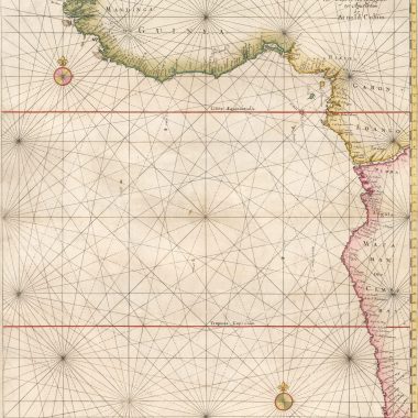
| (50) | J. Col 4 (40) | Pas Caert vande / Soute / Eylanden, / ofte Ilhas de / Cabo Verde. / tAmsterdam / by Iacob Colom. | 43 X 55 cm. | 1º = 141 mm.1: 795,000 | |
| 10 | (51) | A. Col 2 (10) | Zuyder deel / van / America / uytgegeven door / Arnold Colom. Inset: Vervattinge / van Manta / tot R. Verde. | 53.5 X 62 cm.14 X 18 cm.(irregular) | 1º = 8 mm.1: 13.9 Mill. |
| (52) | A. Col 3 (18) | Mar del Zur / Hispanis / Mare Pacificum / [Dedication in separate cartouche:] Amplmo Spectatmo Gravissimoque Viro / D.D. Georgio Backer / I.C. Inclytæ Amstelodamensium Republicæ / Senatori Excabino, Tribuno Civium / Societatis Indicæ Orientalis præfecto. / Tabulam hanc D.D.D. / Arnold Colom. | 53 X 60.5 cm. | 1° = 4.5 mm |
Note: Measurements are actual, differing in some cases from those mentioned in Koeman.
Some scale measurements vary from those noted in J. Col 4, e.g. charts (11) and (12).
For collation of J. Col 4, refer to Map Forum issue # 12.
* “Lighthouse and tower added to the island of Urk.”
**”French titles were added. . . as early as 1633.”
*** “Amended wiith soundings, banks in the upper right corner, mainly in the Eems entrance. Place names and symbols added in the ‘Groeningerlandt’. Check: Delfzijl.
i Shirley, R. The Mapping of the World, 1472-1700, New Holland (Publishers), London, 1993.
ii Shirley, R. Printed Maps of the British Isles, 1650-1750, Map Collector Publications/British Library, Herts. & London, 1988
iii Burden, Philip D.,The Mapping of North America, Raleigh Publications, Rickmansworth, Herts. 1996.
iv Schilder, Gunther, Australia Unveiled, Theatrum Orbis Terrarum, Amsterdam, 1976