By Jason Hubbard
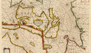
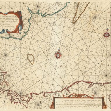
In issue #12 of Map Forum I listed the charts contained in four of Jacob Aertsz. Colom’s Sea Atlases, namely Koeman J. Col 4 (French), J. Col 6 (English), J. Col 12 and J. Col 27. Following are four additional collations of Atlases in the Library of Congress, The Pusey Library in Harvard University and the Beinecke Rare Book Library in Yale University, as follows: J. Col 15, J. Col 23, J. Col 24, J. Col 28 B. My heartfelt thanks for the time and patience of the staff in the above-mentioned libraries.
After having examined several of Colom’s Atlases it is becoming clear that there are a number of variations of the same chart. At this point in time I am not in the position to assert one way or another that these variations are due to new states, as a result of reworking existing plates or of newly engraved plates covering the same area. Until such time as detailed comparative examination is possible, I have indicated “early state (or plate)” where I have noticed differences from one edition to another. I have also noted where major restoration of an Atlas has taken place as the measurements of the same charts can differ from one copy to another.
The collations are as follows:
Collation: L’Ardante ou Flamboyante Colomne De La Mer, 1633
Collation: The New Fierie Sea-Colomne, 1639
Collation: The New Fierie Sea-Colomne, 1640