mapforumOctober 12, 2022 15th IssueCollation: Introduction to Jacob Aertsz. Colom By Jason Hubbard In issue #12 of Map Forum I listed the charts contained in four of Jacob…
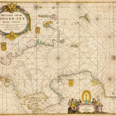
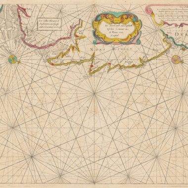
mapforumOctober 12, 2022 15th IssueCollation: The New Fierie Sea-Colomne, 1640 [Koeman: J. Col 24 ]Library of Congress G1793 .C6 1640b; Phillips 3332 by Jason Hubbard As in the…
mapforumOctober 12, 2022 15th IssueCollation: The New Fierie Sea-Colomne, 1639 [Koeman: J. Col 23]Library of Congress G1793 .C6 1640; Phillips 3331 by Jason Hubbard [Engraved Title page:] The |…
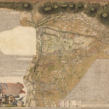
mapforumOctober 12, 2022 15th IssueCuriosities: Maps with Flaps The vast majority of maps, whether printed or manuscript, depict a single moment in time, in essence a…
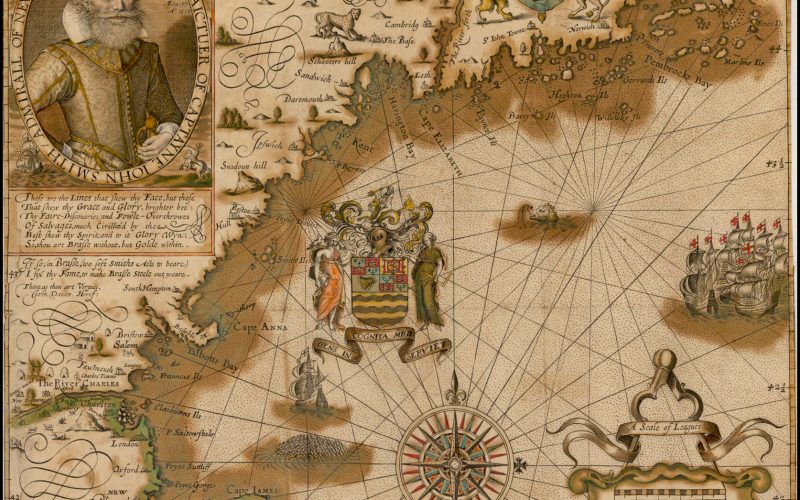
13th Issue Printed Maps of New England: 1548 to 1624 1548 [1548]: GASTALDI, GiacomoTIERRA // NVEVA. [2a, ob & 4a, ob]From: Claudius Ptolemy Ptolomeo. La Geografia …, Venice, 1548… mapforumOctober 3, 2022
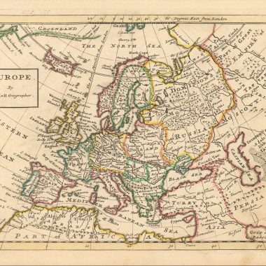
mapforumSeptember 30, 2022 13th IssueHerman Moll’s “Maps Of The Several Parts Of Europe…” While Moll’s county atlases and large maps – most particularly those prepared for “The World Described” – are…
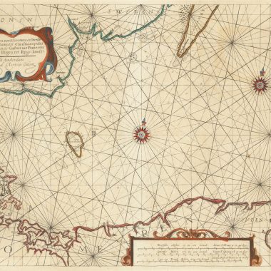
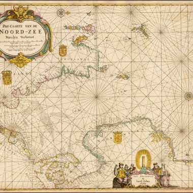
mapforumSeptember 26, 2022 MapForum ArticlesMaps in Colom’s Atlases: Atlas ou Colom Ardante, 1668 Atlas / ou / Colom Ardante / Demonstrant toutes les Costes de la Grand / Mer, de tout…
mapforumSeptember 23, 2022 MapForum ArticlesMaps in Colom’s Atlases: Atlas or Fyrie Colom, 1668 [Engraved Title page:] Atlas / or / Fyrie Colom. / Wherein are livelÿ Portraÿed all the knowne /…
mapforumSeptember 21, 2022 MapForum ArticlesMaps in Colom’s Atlases: The New Fierie Sea-Colomne, 1649 The best existing reference for the pilot guides and Sea Atlases of Jacob Aertsz. Colom is the fourth…
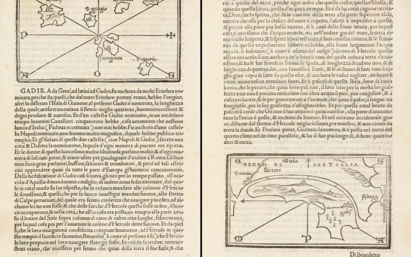
11th Issue MapForum Articles The Lost Island of Atlantis Prevalent among western European cultures are traditions of lost or mysterious islands in the western ocean, and these… mapforumSeptember 20, 2022