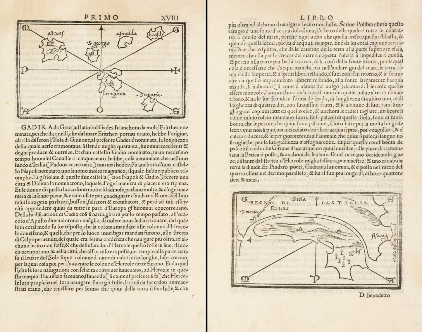
Prevalent among western European cultures are traditions of lost or mysterious islands in the western ocean, and these are often encountered in legend or folk tales. Examples are Avalon, the Greek Fortunate Islands, Portugese Antilia, Brazil, St. Brendan’s Island, and so on. One of the oldest of these traditions is the island of Atlantis.
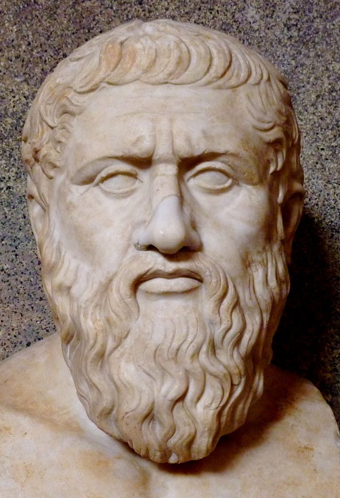
The early written description of the island was compiled by Plato (c.428 B.C. – c.348 B.C), in his Timaeus. The Timaeus was a narration on cosmology, physics and biology, with Pliny putting his words into the mouth of the astronomer Timaeus of Locri.
The Timaeus commences with an account of the attempt by the rulers of Atlantis to take over the world, and their defeat at the hands of the Athenians. Plato recorded that Egyptian priests described Atlantis to Solon, the Athenian statesman and reformer (and Plato’s ancestor), who visited Egypt in about 590 B.C. The priests said that the island lay just beyond the Pillar of Hercules (the Straits of Gibraltar), and that in size the island was larger than Libya (North Africa) and Asia Minor together. Beyond Atlantis there lay an archipelago of smaller islands.
The kingdom came to prominence some nine thousand years before Solon’s time, and was gradually conquering the Mediterranean world, until only Athens stood against them. Ultimately, however, Athens was victorious.
The kingdom came to a dramatic end when Atlantis was overwhelmed by the sea, and submerged, although Plato said that Atlantis’ site was identifiable by shoals. In his later work, the Critias, Plato gave a lengthy description of Atlantis as an ideal commonwealth.
“Our records tell how your city checked a great power which arrogantly advanced from its base in the Atlantic ocean to attack the cities of Europe and Asia. For in those days the Atlantic was navigable. There was an island opposite the strait which you call (so you say) the Pillars of Hercules, an island larger than Libya and Asia combined; from it travellers could in those days reach the other islands, and from them the whole opposite continent which surrounds what can truly be called the ocean … On this island of Atlantis had arisen a powerful and remarkable dynasty of kings, who had ruled the whole island, and many other islands and parts of the continent; in addition, it controlled, within the strait, Libya up to the borders of Egypt and Europe as far as Tyrrhenia. This dynasty, gathering its whole power together, attempted to enslave at a single stroke, your country and ours and all the territory within the strait. It was then, Solon, that the power and courage and strength of your city became clear for all men to see. Her bravery and military skill were outstanding; she led an alliance of the Greeks, and then when they deserted her and she was forced to fight alone, after running into dire peril, she overcame the invaders, and celebrated a victory; she rescued those not yet enslaved from the slavery threatening them, and she generously freed all others living within the Pillars of Hercules. At a later time there were earthquakes and floods of extraordinary violence, and in a single dreadful day and night all your fighting men were swallowed up by the earth, and the island of Atlantis was similarly swallowed up by the sea and vanished; this is why the sea in that area is to this day impassable to navigation, which is hindered by mud just below the surface, the remains of the sunken island…“
Plato Timaeus and Critias.Translated with an introduction and an appendix on Atlantis by H.D.P. Lee, Harmondsworth, Middx: Penguin Books, 1965, p.37-38
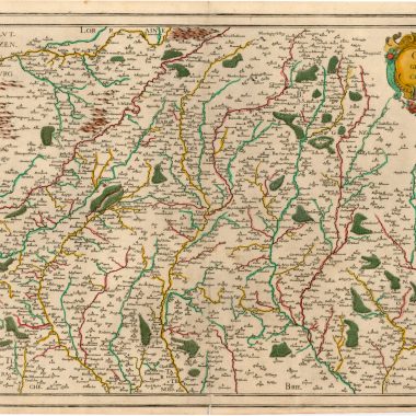
The site of Atlantis became somewhat of a movable feast. As western exploration of the Atlantic proved where it could not be, it was simply moved further westward or southward. Even as late as the eighteenth century, there were adherents to the legend.
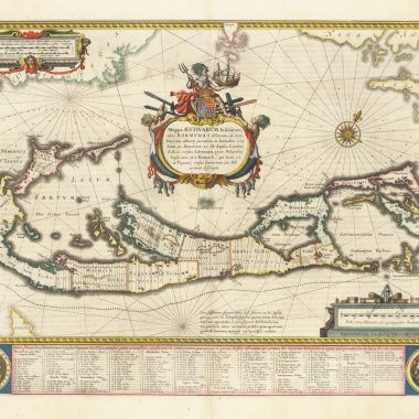
In 1678, Athanasisus Kircher drew a charming little map of the island to illustrate his Mundus Subterraneus, In XII Libros Digestus…, a description of the physical nature of the earth, and including maps of the world, the earth’s core, the seas, with their depths, currents, chasms, volcanoes and so on.
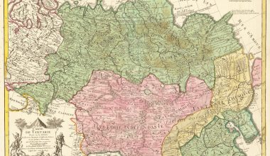
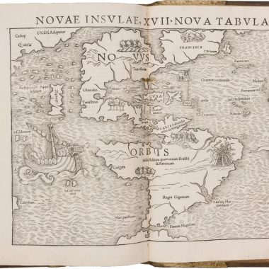
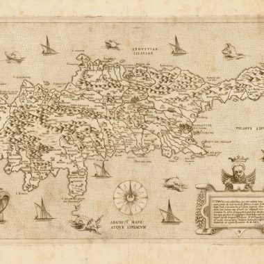
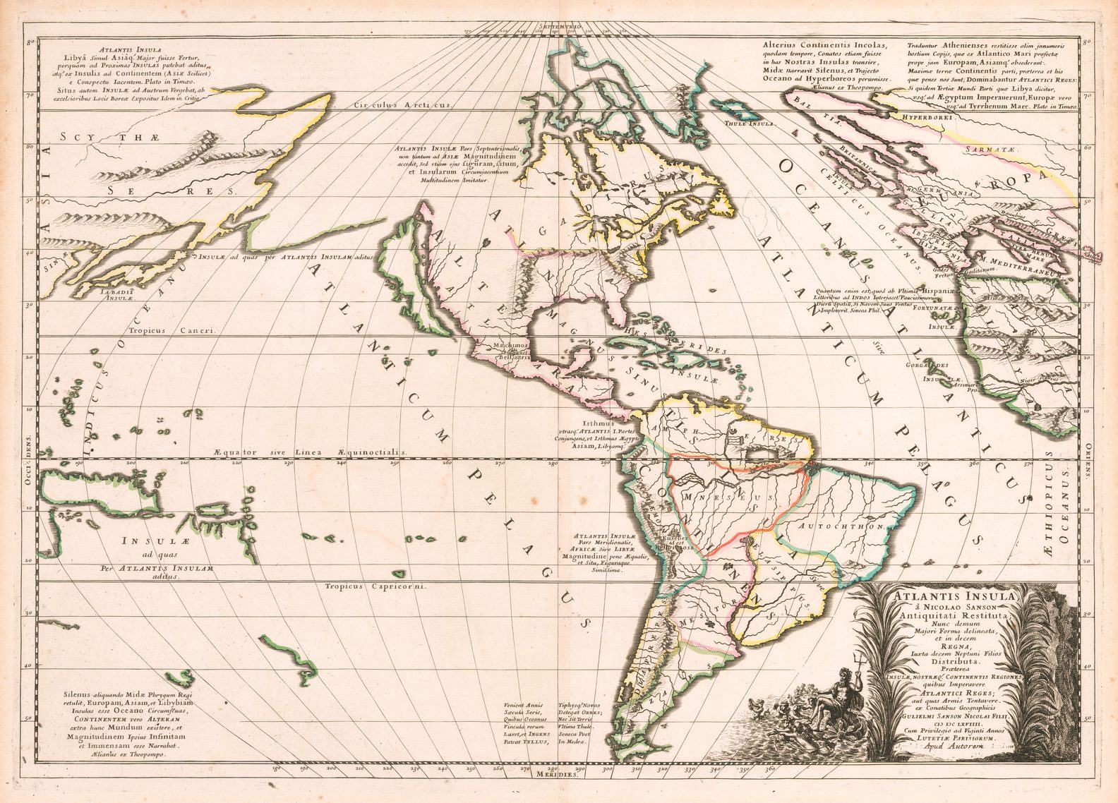
The French geographer Guillaume Sanson, on the other hand, preferred to see the Americas as the lost island of Atlantis, and in 1669 published a map of North and South America entitled ‘Atlantis Insula’. A number of other publishers produced their own version of this map (1).
The legend of Atlantis has also been revived in modern times (2), where some commentators have assumed that the alleged extraordinary accuracy of the Piri-Reis map proved that there was an advanced civilisation in the Atlantic world (or in more extreme cases, pre-X Files contact between Europeans and little green men) capable of mapping the region thousands of years before Columbus.
A new publication, by Gregory McIntosh, rebuts these claims as based on careless scholarship and misunderstanding, with a good leavening of wishful thinking (3).
(1) Glen McLaughlin The Mapping of California as an Island. Saratoga. CA: California Map Society, 1995, no.46 & Philip D. Burden The Mapping of North America. Rickmansworth: Raleigh Press, 1996, item 405, describing examples.
(2) Charles Berlitz Atlantis. The Eighth Continent. New York: G.P. Putnam’s Sons, 1985 & Charles H. Hapgood Maps of the Ancient Sea-Kings: Evidence of Advanced Civilization in the Ice Age. New York: Chilton, 1966.
(3) Gregory C. McIntosh The Piri Reis Map of 1513. Athens GA: University of Georgia Press, 2000.
(4) Richard Ellis Imagining Atlantis. Knopf, 1998.