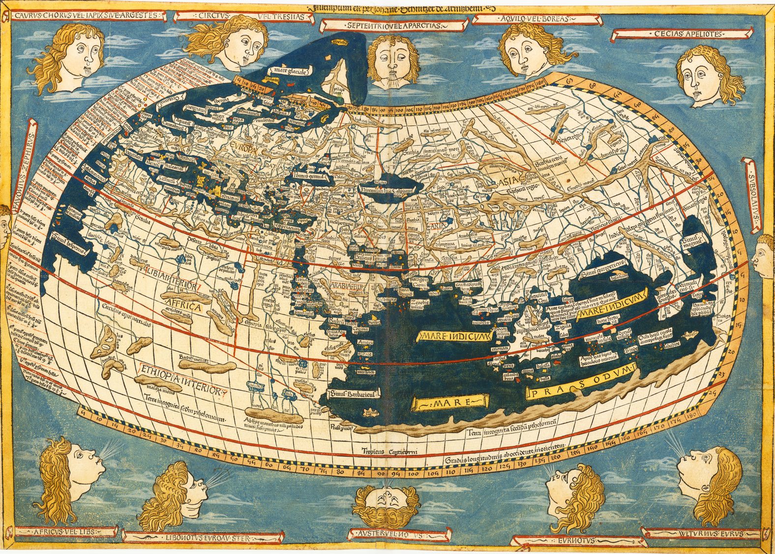
The first printed atlases were editions of the text of Claudius Ptolemy, an Alexandrian geographer working circa 150 A.D., illustrated with a set of 27 maps, constructed from Ptolemy’s calculations. There is some debate whether the printed maps are engraved versions of original maps which were passed down with manuscripts of the text, or whether the maps were constructed by medieval Greek scholars from Ptolemy’s text.
The first edition with maps, which were probably engraved by Taddeo Crivelli, was published in Bologna in 1477. Three similar sets were published in Rome, by Arnold Buckinck in 1478, for Francesco Berlinghieri, in Florence in 1482, and by Lienhart Holle, in Ulm in 1482 (illus. below).
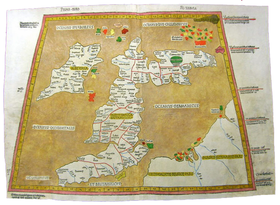
However, it was readily apparent that the maps were greatly outdated, not least because the maps failed to take into account the Portuguese & Spanish discoveries outside the traditional Roman world, but the maps also retained out-dated perceptions of European geography, for example the west-east orientation of Scotland on maps of the British Isles.
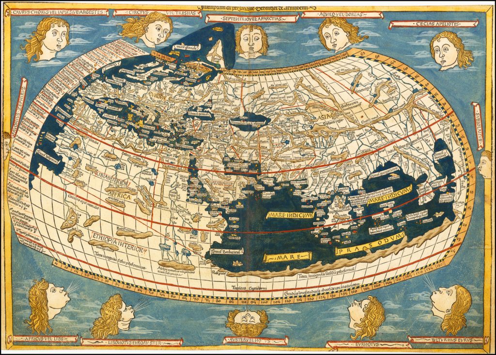
Ptolemy, Public domain, via Wikimedia Commons
Slowly at first, new maps were added to printed editions, for example, to Francesco Berlinghieri’s ‘Geographia’ (1482) and the Ulm Ptolemy (of the same year). The fourth edition of the Rome Ptolemy, published in 1508, was the first to include a world map incorporating the new discoveries. A less successful alternative, used by Bernard Sylvanus in 1511, was to try and combine, on each regional map, the Ptolemaic corpus with more modern materials.
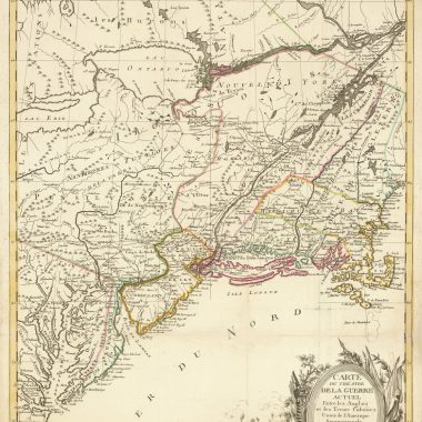
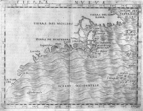
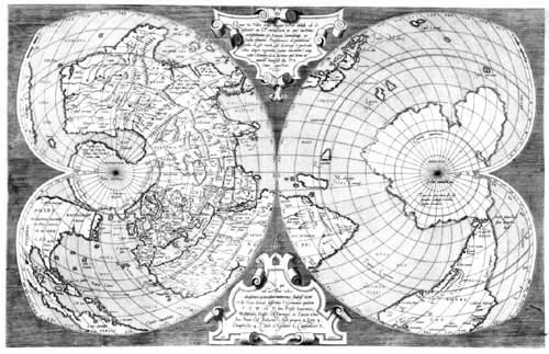
Martin Waldseemuller, in an edition of Ptolemy’s ‘Geographia’, published in 1513, added a second section of 20 modern maps, which was the first major attempt to break away from the Ptolemaic tradition. Among these maps was the first map in an atlas devoted to the New World. For the next thirty years, subsequent atlases repeated this formula of an ancient and modern set of maps bound together, while expanding the coverage. For the Basle edition of 1540, Sebastian Munster added a set of maps of the four continents, while in 1548 Giacomo Gastaldi included a map of South-East Asia, and the first regional maps of the Americas, including a map of the eastern seaboard of North America.
From about 1544, there was a great upsurge in the number of people publishing maps in Italy, based in the twin centres of Rome and Venice. These publishers, working independently, produced their maps in many different sizes, in anything up to nine sheets or more. Gradually it became the fashion to bind the maps together, into composite atlases (frequently called ‘Lafreri atlases’ after one of the leading publishers of the period, or less commonly IATO atlases – Italian, Assembled To Order). The Lafreri-Atlas at Yale, for example, has a contemporary manuscript title, recording that the volume was assembled for Don Antonio Xuarez in 1569, and the latest date found on any of the maps is 1568.1
While ‘Lafreri-Atlas’ is the popular term, ‘IATO’ more accurately reflects the origin and make-up of such atlases, with the contents selected by the purchaser, to reflect his individual business, family or personal interests. Thus, no two examples of an atlas of this period have the same make-up, either in terms of geographical coverage, number of maps, or even the maps used.
However, when the maps were bound, problems arose because of the diversity of sizes. To create a uniform size, it became the fashion to cut the maps down to the platemark or engraved border, and then paste on additional paper margins, while the larger maps had to be folded down, often many times.
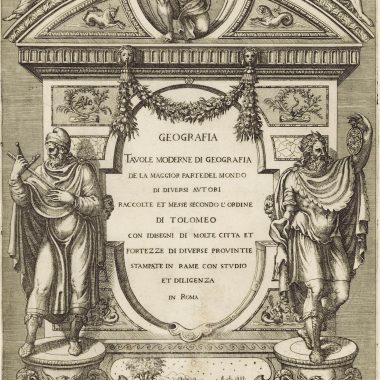
Although these Italian composites are the first modern atlases of the World, it does not seem that any of the Italian publishers addressed the problem of the inconvenient mixture of formats, so that it can also be said that they lacked the vision, or sense of purpose, to deserve the credit for this major advance in the history of cartography. Indeed, for example, only one publisher supplied an engraved title-page for these collections, issued c.1570-1572 . It is believed that this publisher was Antonio Lafreri, because collections with this title often correspond to his published stock catalogue; this is the principal reason Lafreri’s name is so prominent among the many publishers of the period.
It was left to the Flemish map-maker Abraham Ortelius (1527-1598) to produce an answer. The origin of the solution is described in an autobiographical note by Jan Radermacker, an associate of the Antwerp merchant, Gilles Hooftman, albeit written in 1603, many years after the period the note describes. Radermacker recorded that Hooftman found handling the varying sizes of the maps that he required for business awkward, and that Raedemaecker approached Ortelius, to commission a set of maps of the world, in book form, that could be more easily consulted.
In the letter, Radermaecker noted that Hooftman collected:
Some, to beautify their Halls, Parlers, Chambers, Galeries, Studies or Libraries with… [Collectors] liketh, loveth, getteth, and useth, Maps, Charts, and Geographical Globes…2
At the time he was writing, this atlas was apparently in Radermacker’s possession, and contained 38 maps, 8 or 9 published in Belgium, the others mostly by Michele Tramezini, a publisher in Rome.3
Whatever the truth of the story, on May 20th 1570, Ortelius published his ‘Theatrum Orbis Terrarum’, containing 53 map-sheets covering the countries of the World. The ‘Theatrum’ was “the world’s first regularly produced atlas”, in that “it was the first undertaking of its kind to reduce the best available maps to a uniform format,4 and was an immediate critical and commercial success.
Atlas
It should be noted that the term ‘Atlas’, for a bound collection of maps, was not to come into use for another twenty-five years, until the posthumous publication of Gerard Mercator’s Atlas, Sive Cosmographicae Meditationes De Fabrica Mundi … (Duisburg, 1595).
Two different mythical figures named ‘Atlas’ were invoked by mapmakers. The first was the son of the Titan Iapetus and Clymene (or Asia), brother of Prometheus. Homer refers to him as “one who knows the depths of the whole sea, and keeps the tall pillars who hold heaven and earth asunder”. (Note 5)
In works of art, this Atlas is represented as carrying the heavens or the terrestrial globe on his shoulders. The Farnese statue of Atlas in the Naples Museum is a famous example. This figure is frequently found in the elaborate engraved frontispieces or title-page of atlas, particularly by Dutch publishers of the second half of the seventeenth century. The first to associate the Titan Atlas with a group of maps, without calling his collection an ‘Atlas’, was Lafreri, on his previously mentioned title-page, Tavole Moderne Di Geografia De La Maggior Parte Del Mondo Di Diversi Autori …
The second Atlas was a mythical King of Mauretania, in Libya. Atlas was a wise philosopher, mathematician and astronomer, who supposedly made the first celestial globe. It was this Atlas that Mercator was thinking of, when he first used the name ‘Atlas’ (and a depiction of the King appears on the title-page).
- R.V. Tooley, Maps In Italian Atlases, Imago Mundi, III (1939), p.12.
- Quoted by Skelton, Bibliographical Note to the Facsimile of Ortelius’ ‘Theatrum’, 1570, Theatrum Orbis Terrarum Press, Amsterdam, p.V-VI).
- Skelton, do., p.VI.
- Cornelis Koeman, Atlantes Neerlandici, vol. III, Theatrum Orbis Terrarum Ltd, Amsterdam, (1969) p.29.
- Odyssey, i, 52.