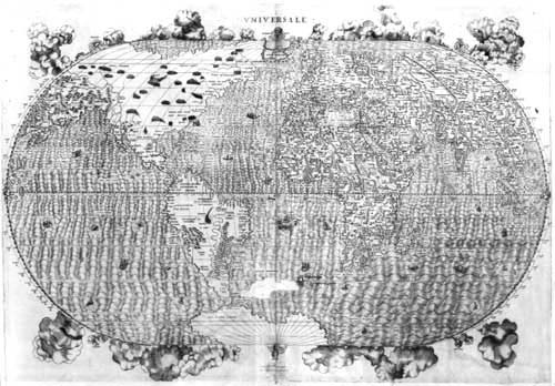
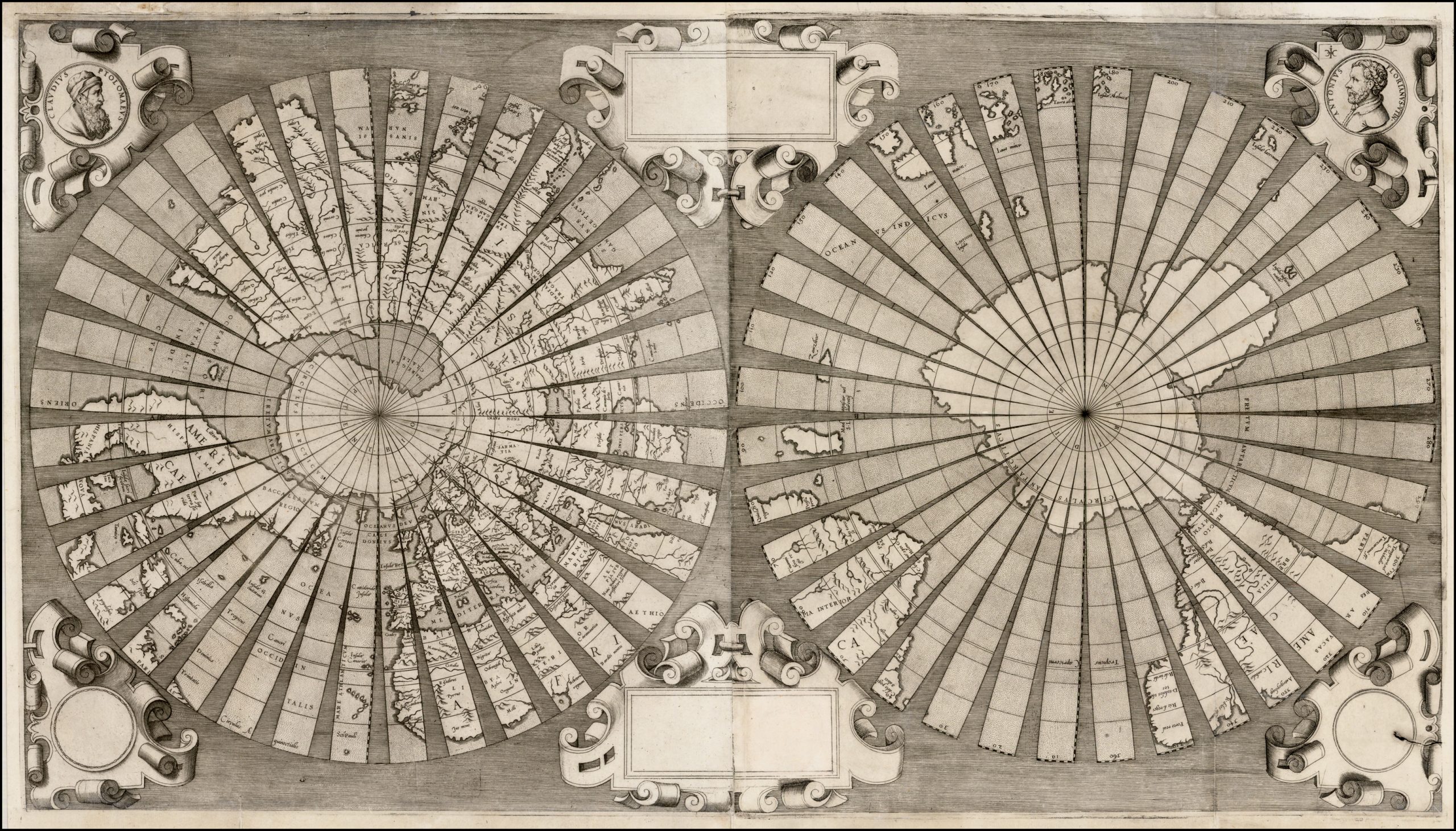
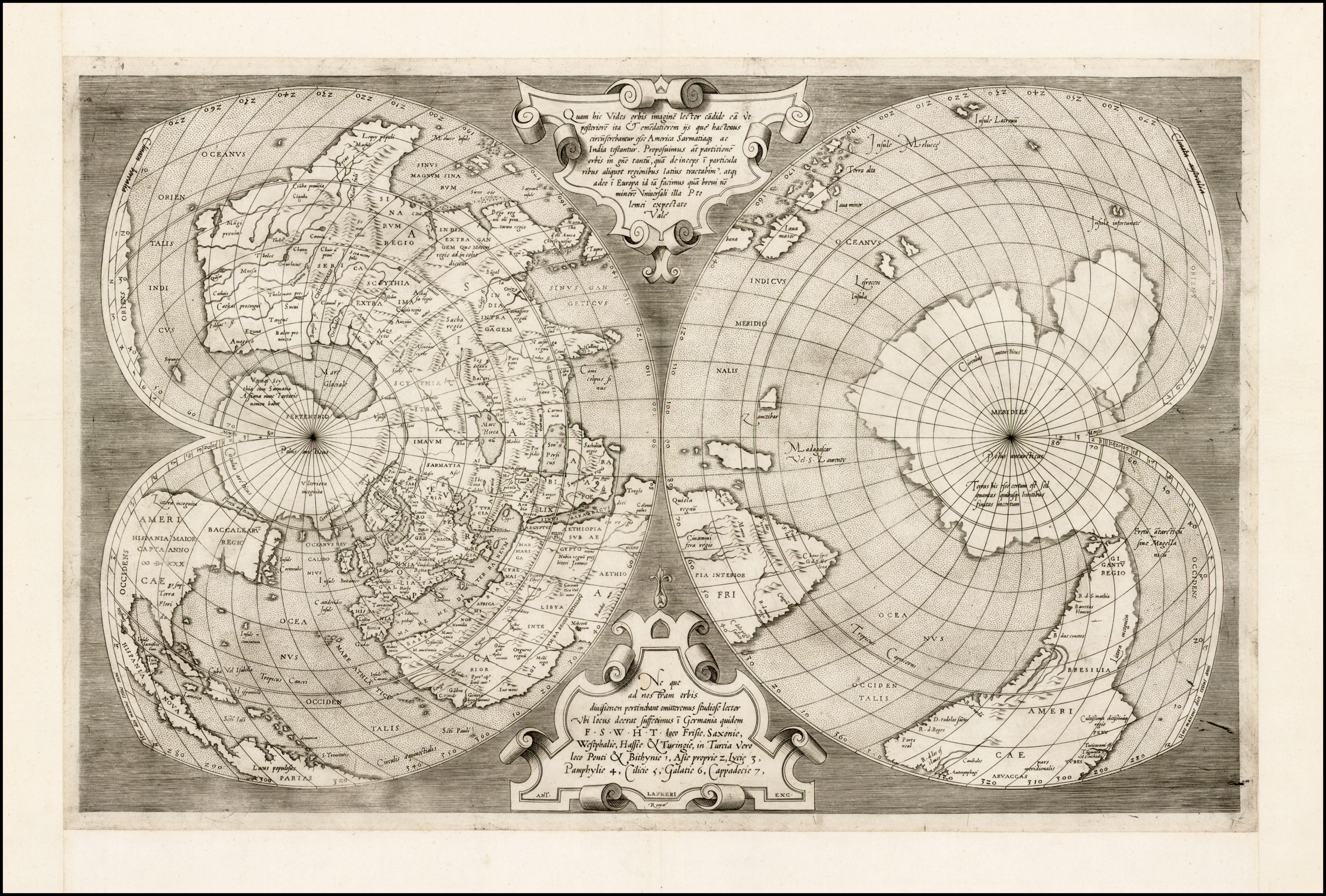
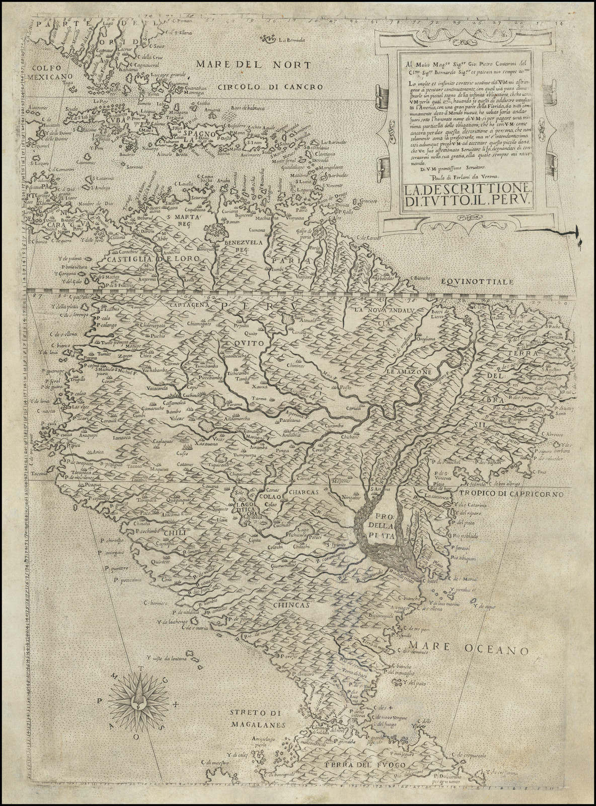
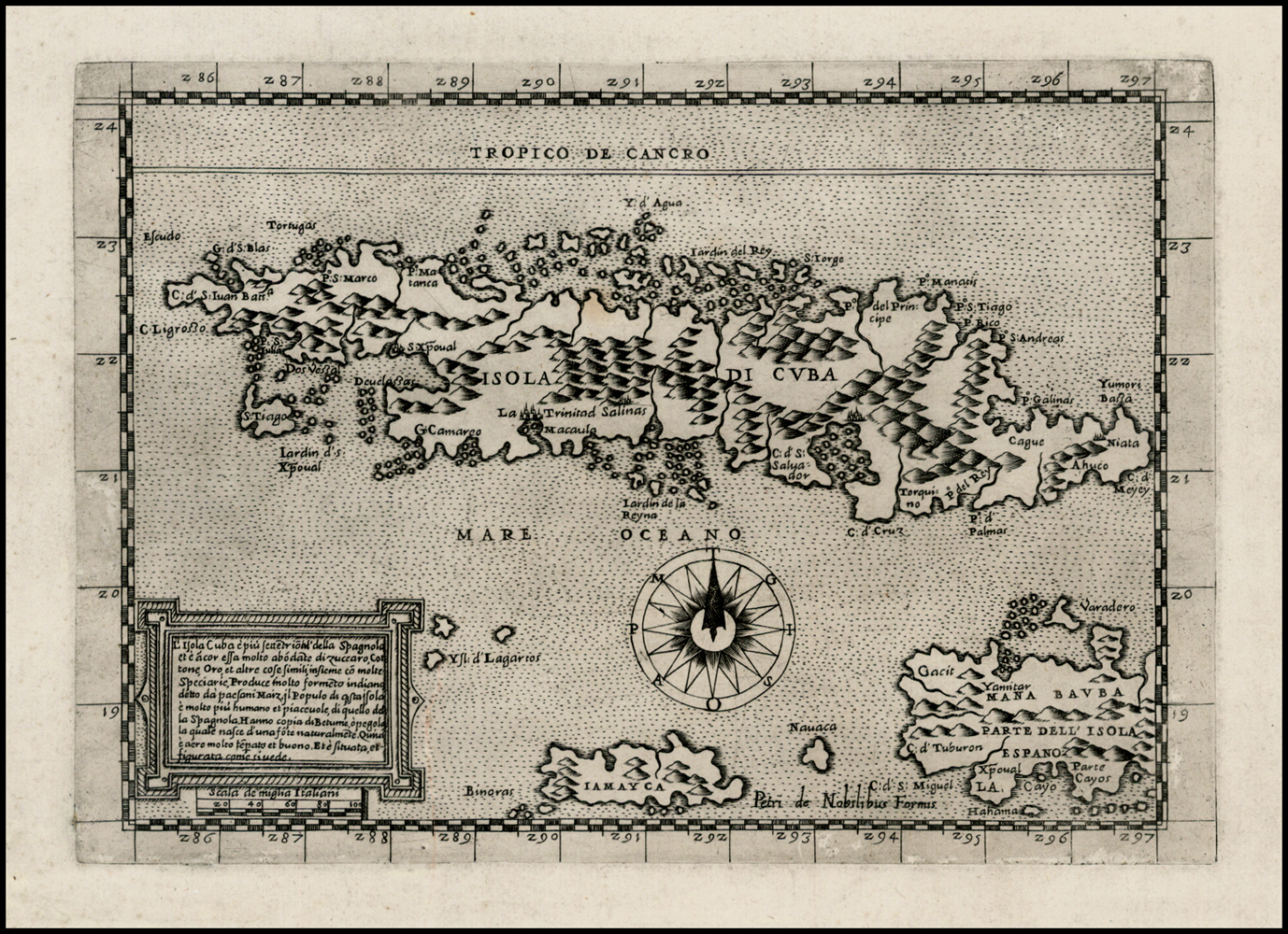
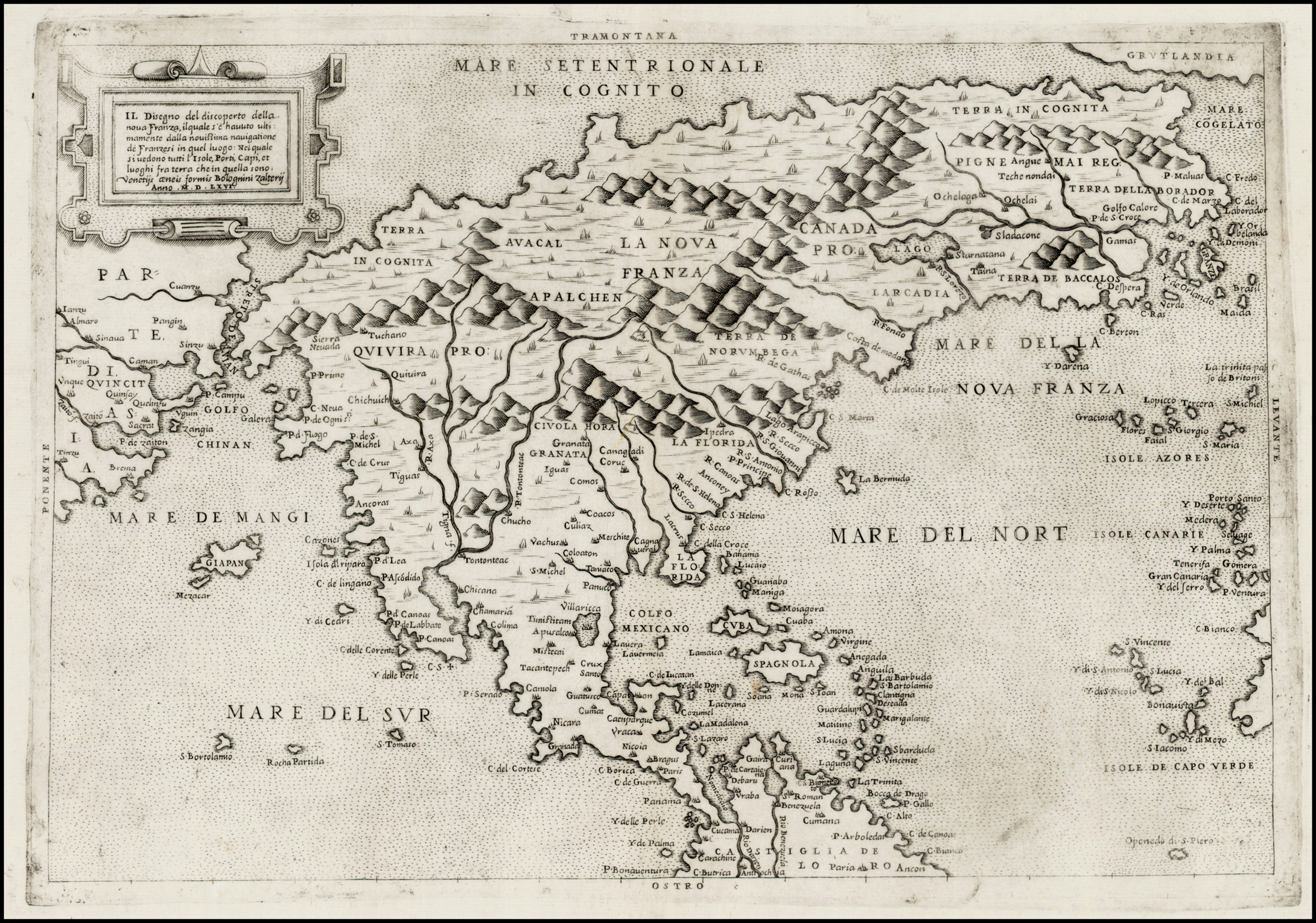
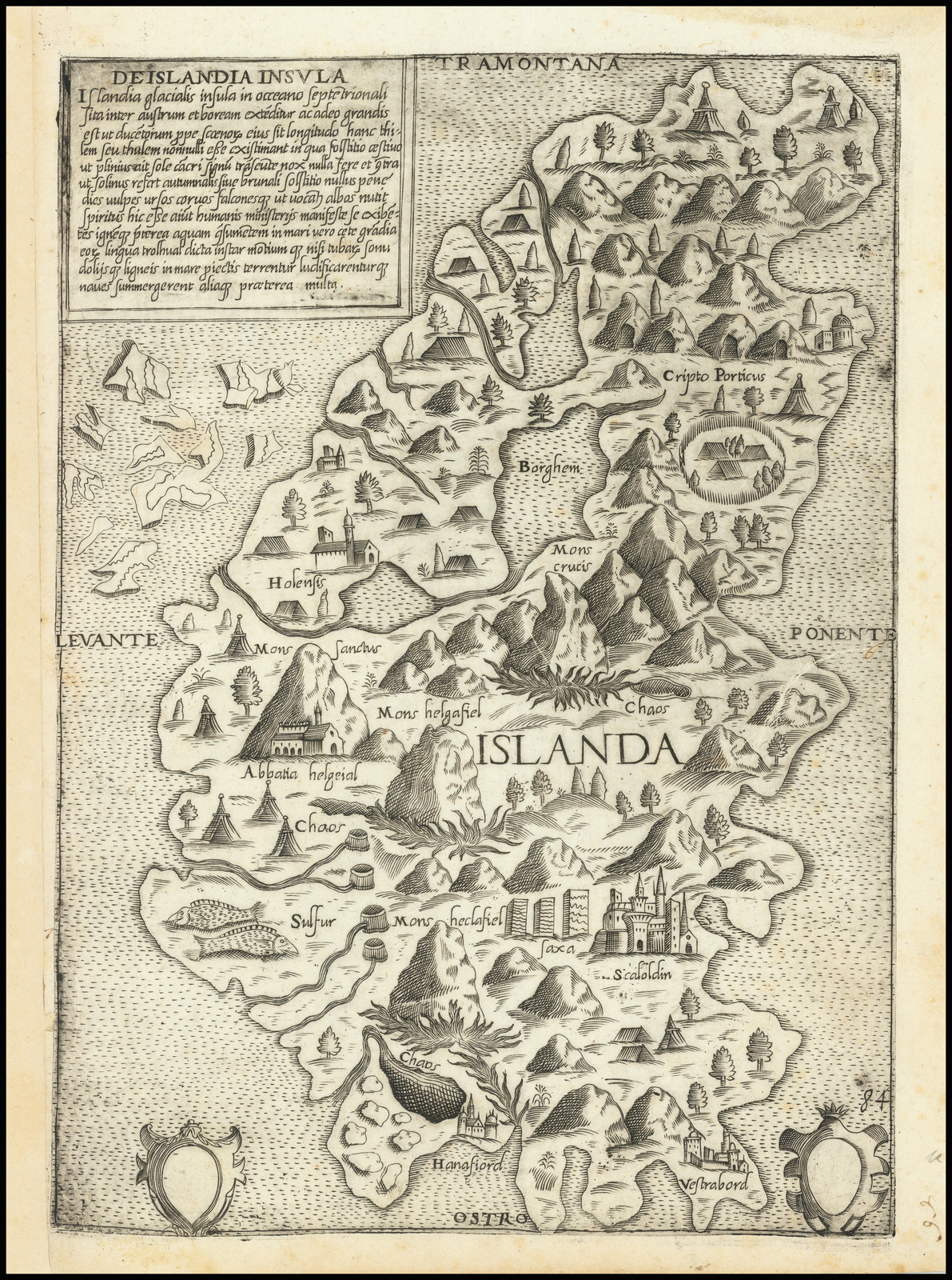
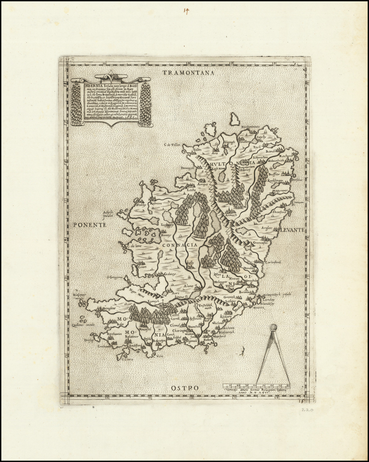
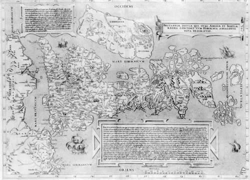
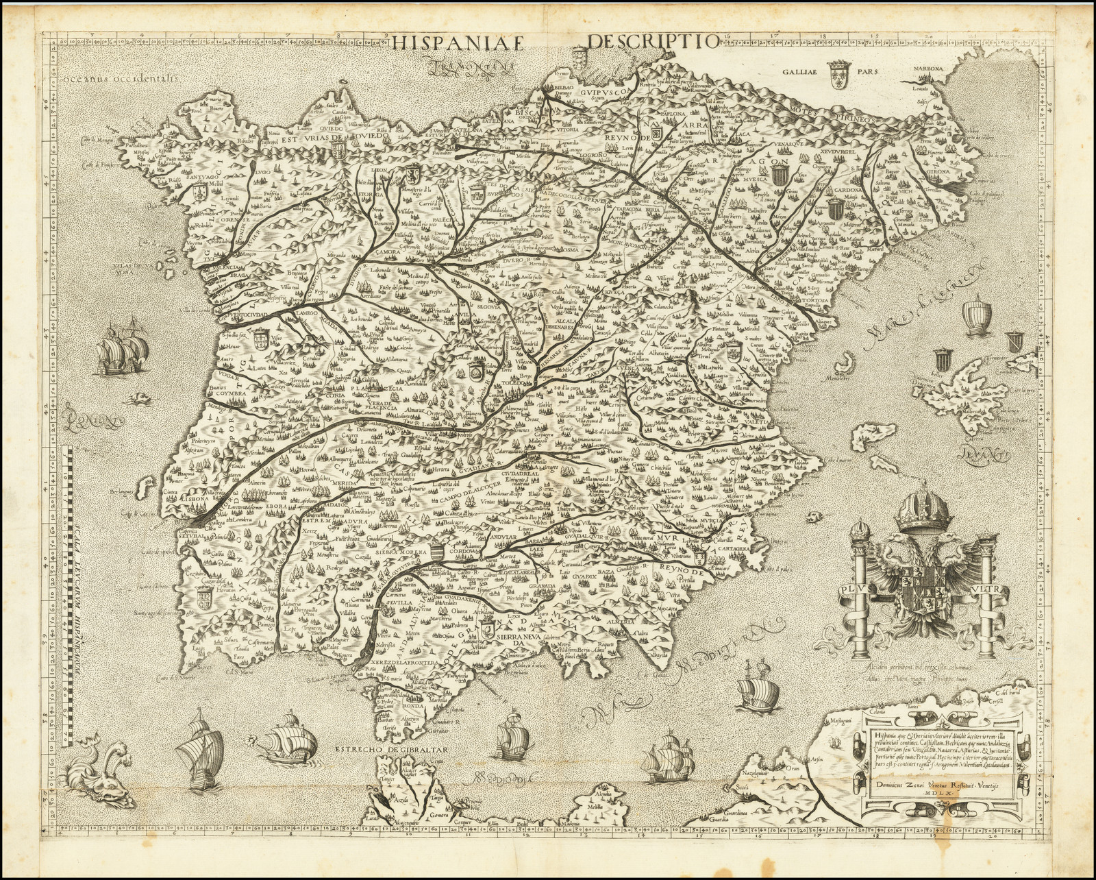
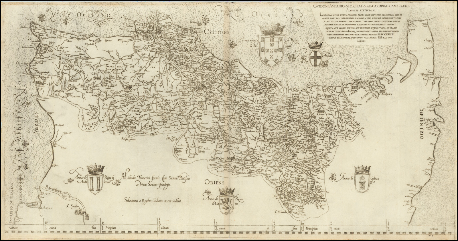
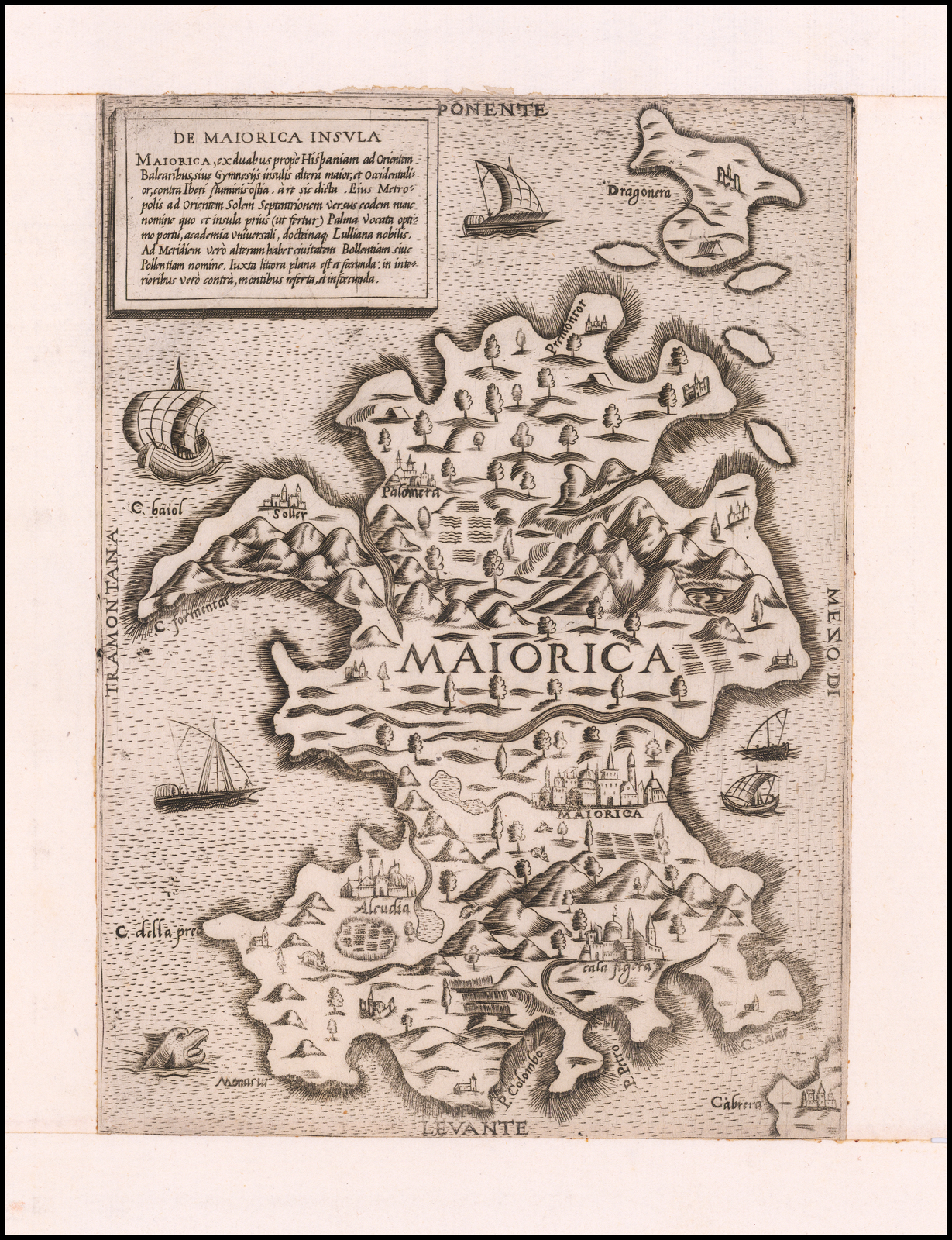
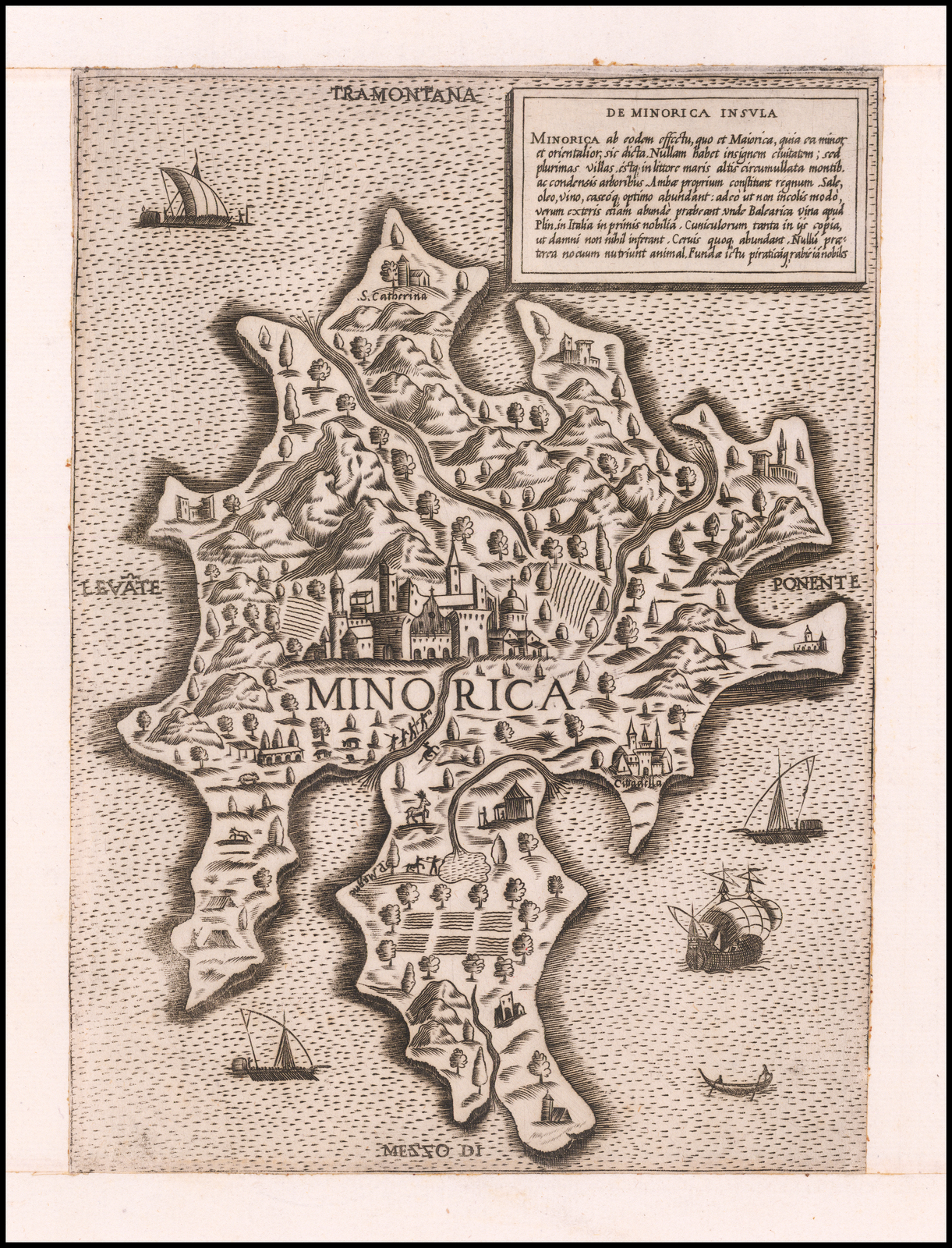
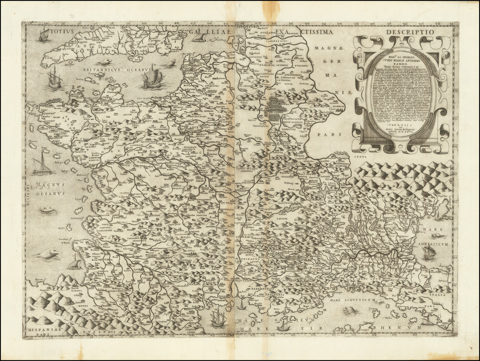
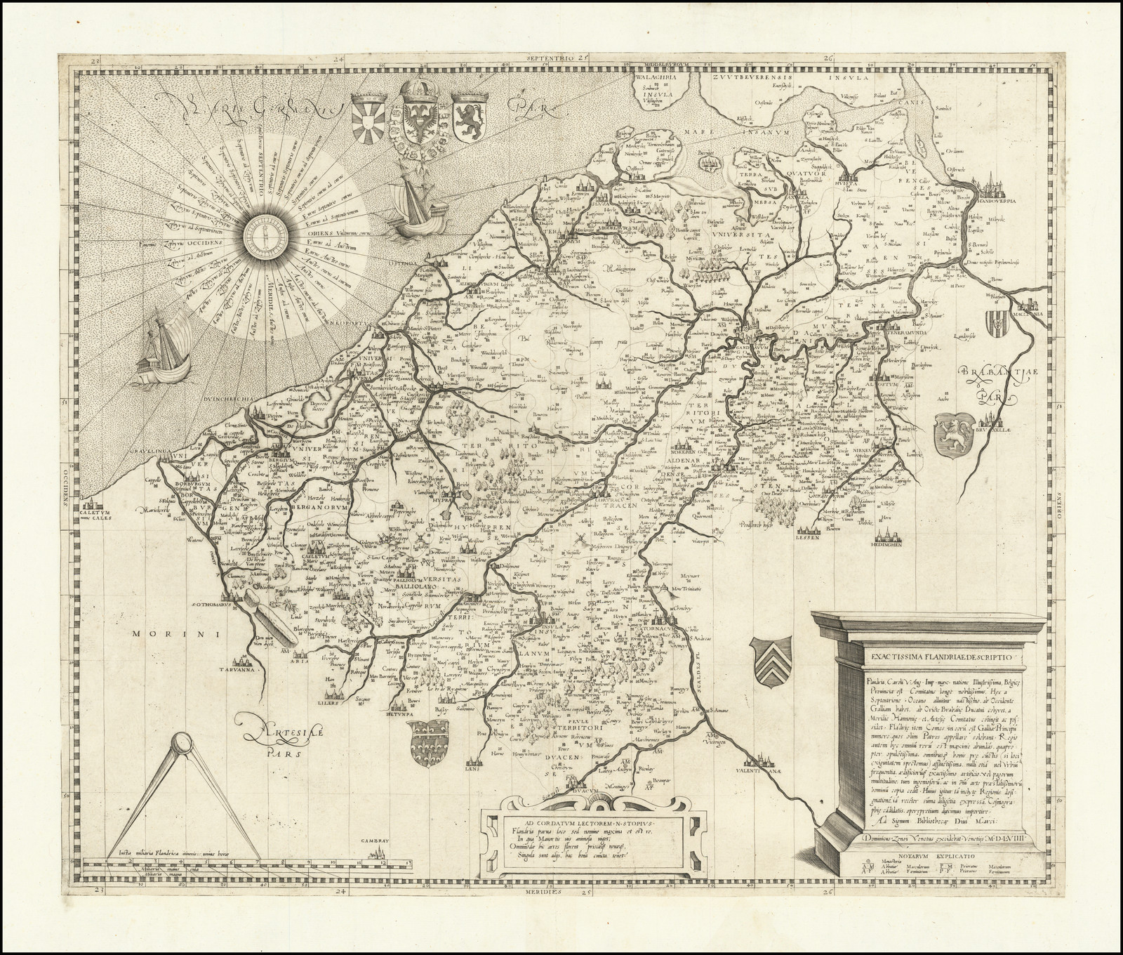
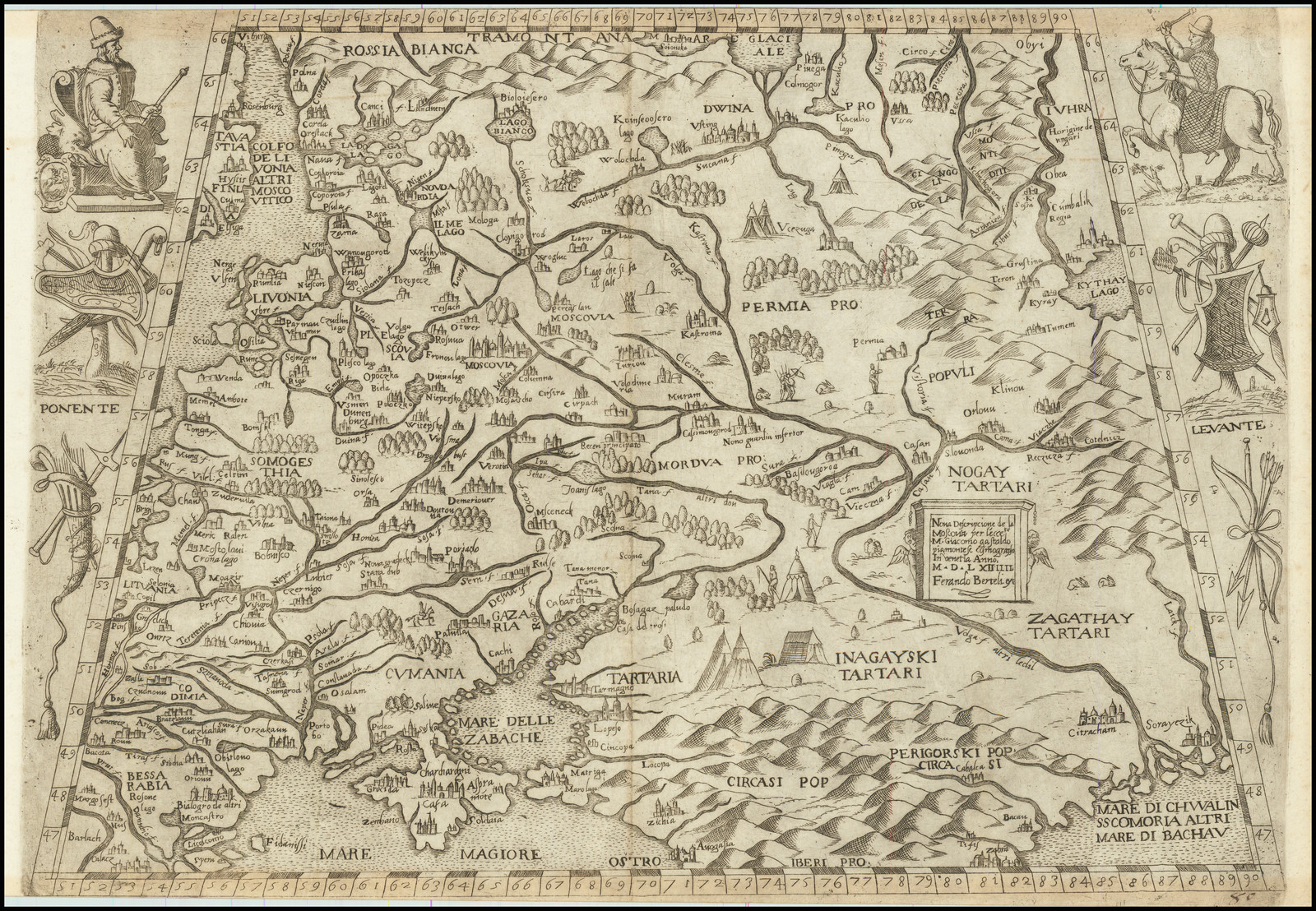
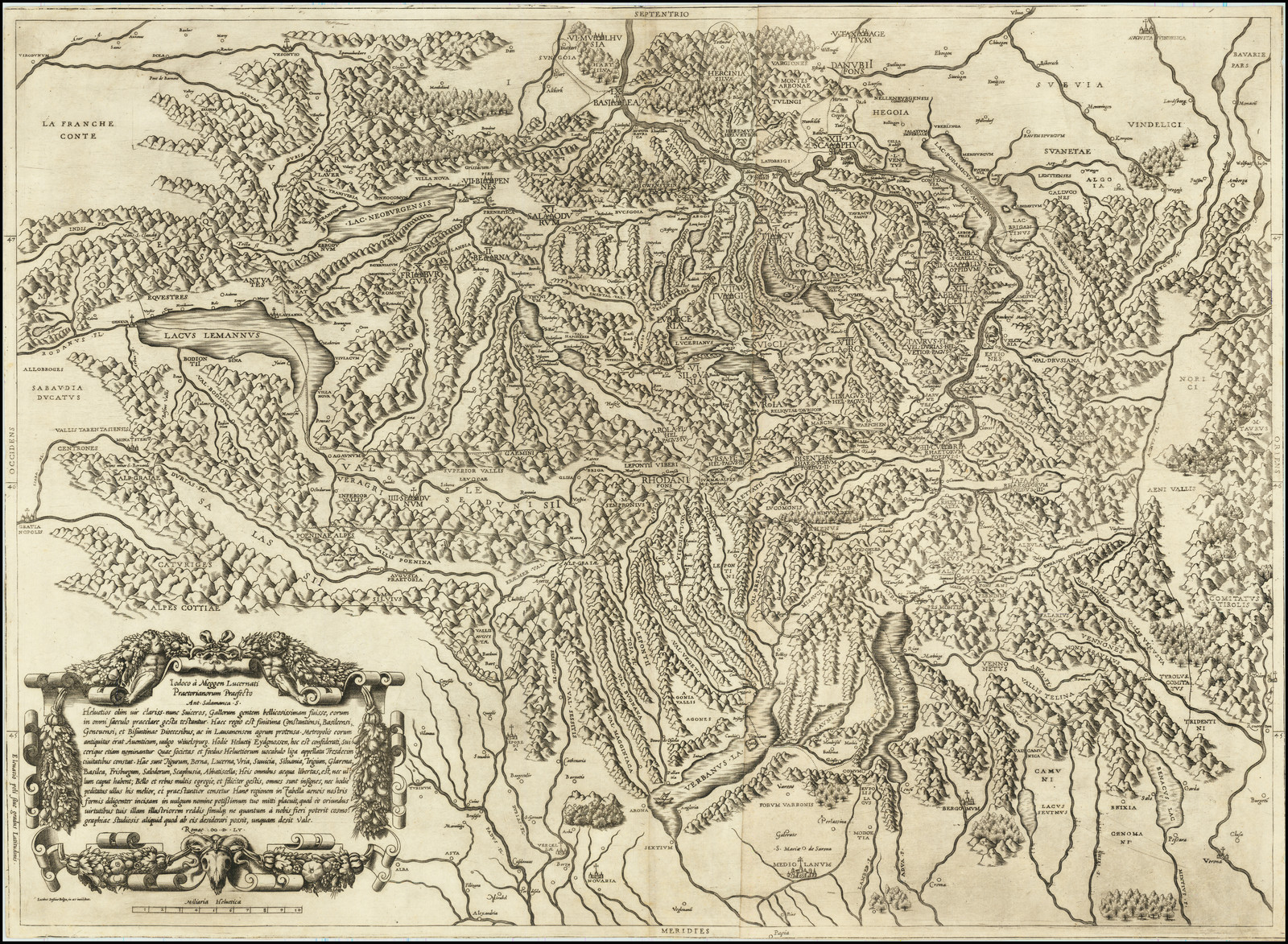
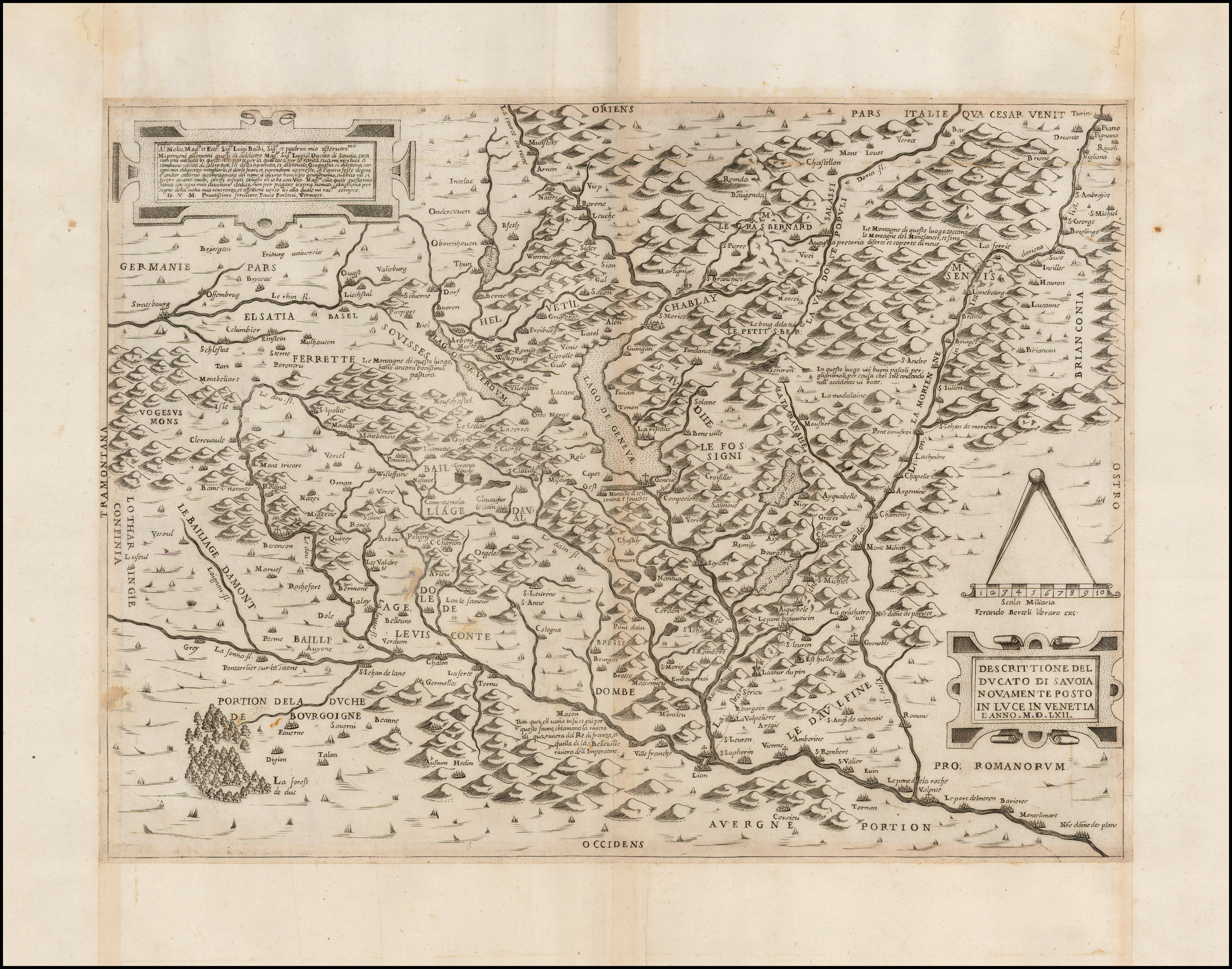
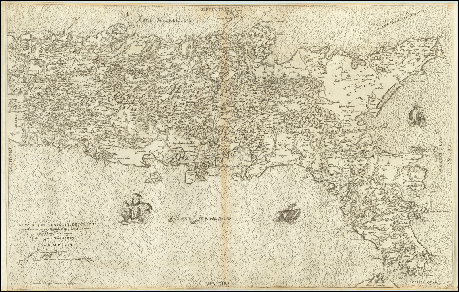
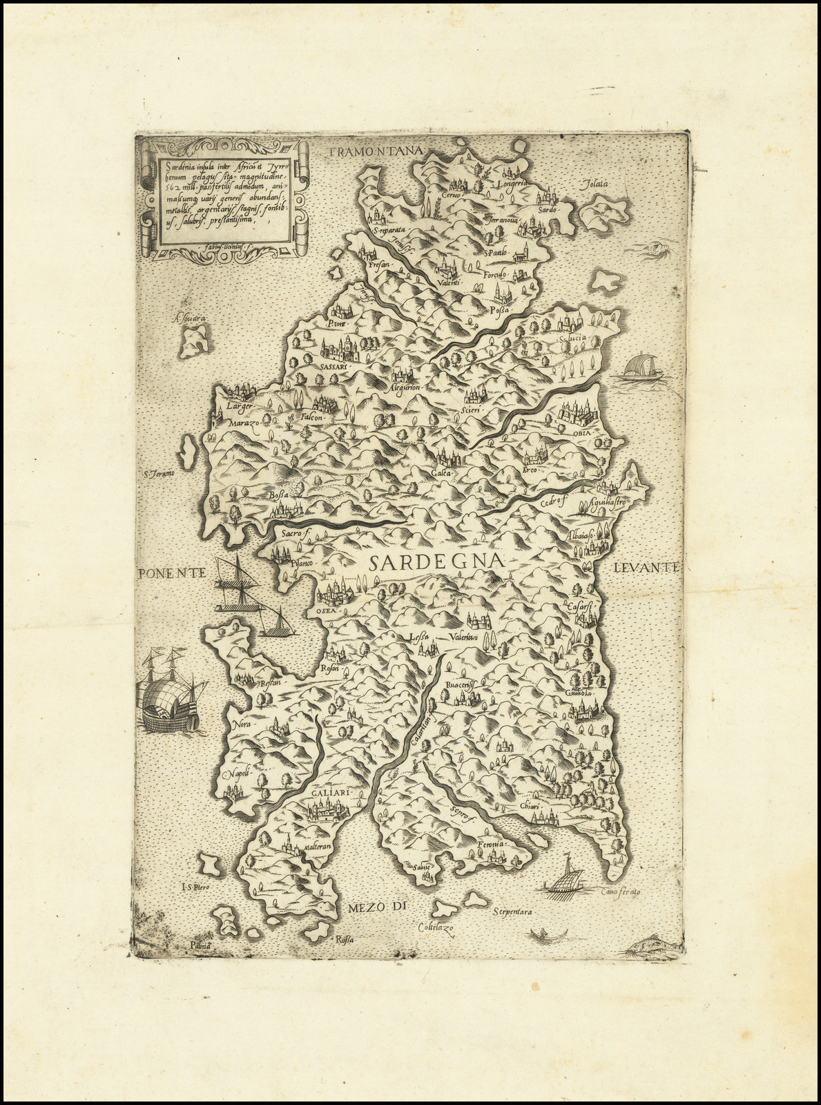
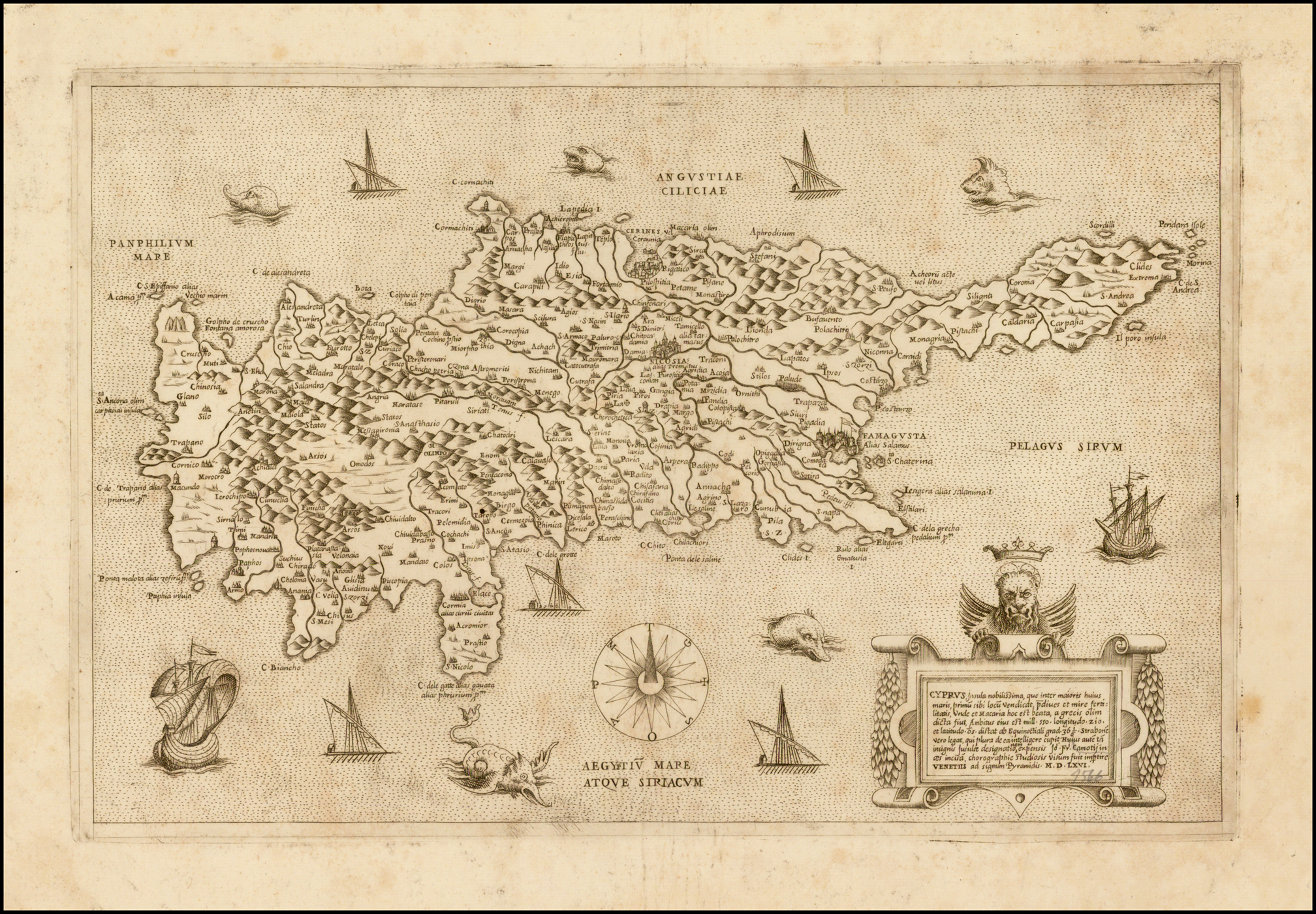
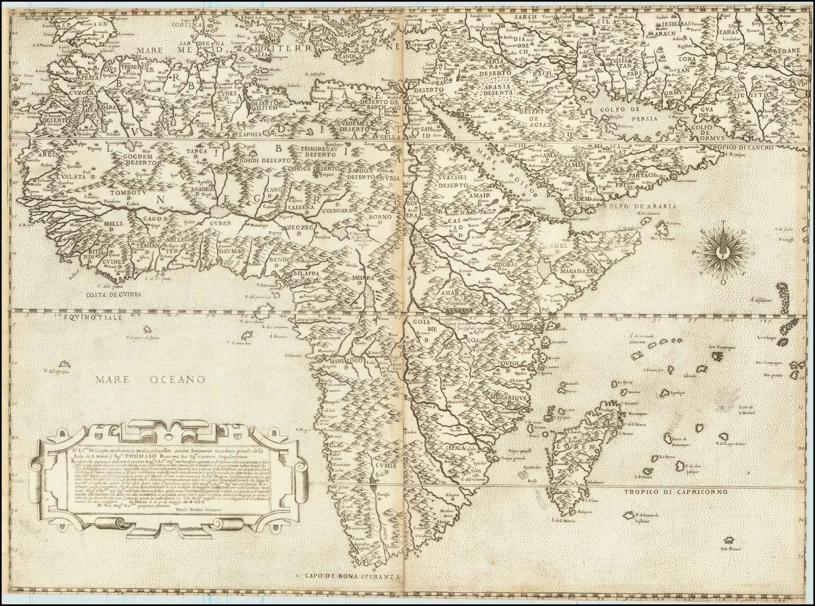
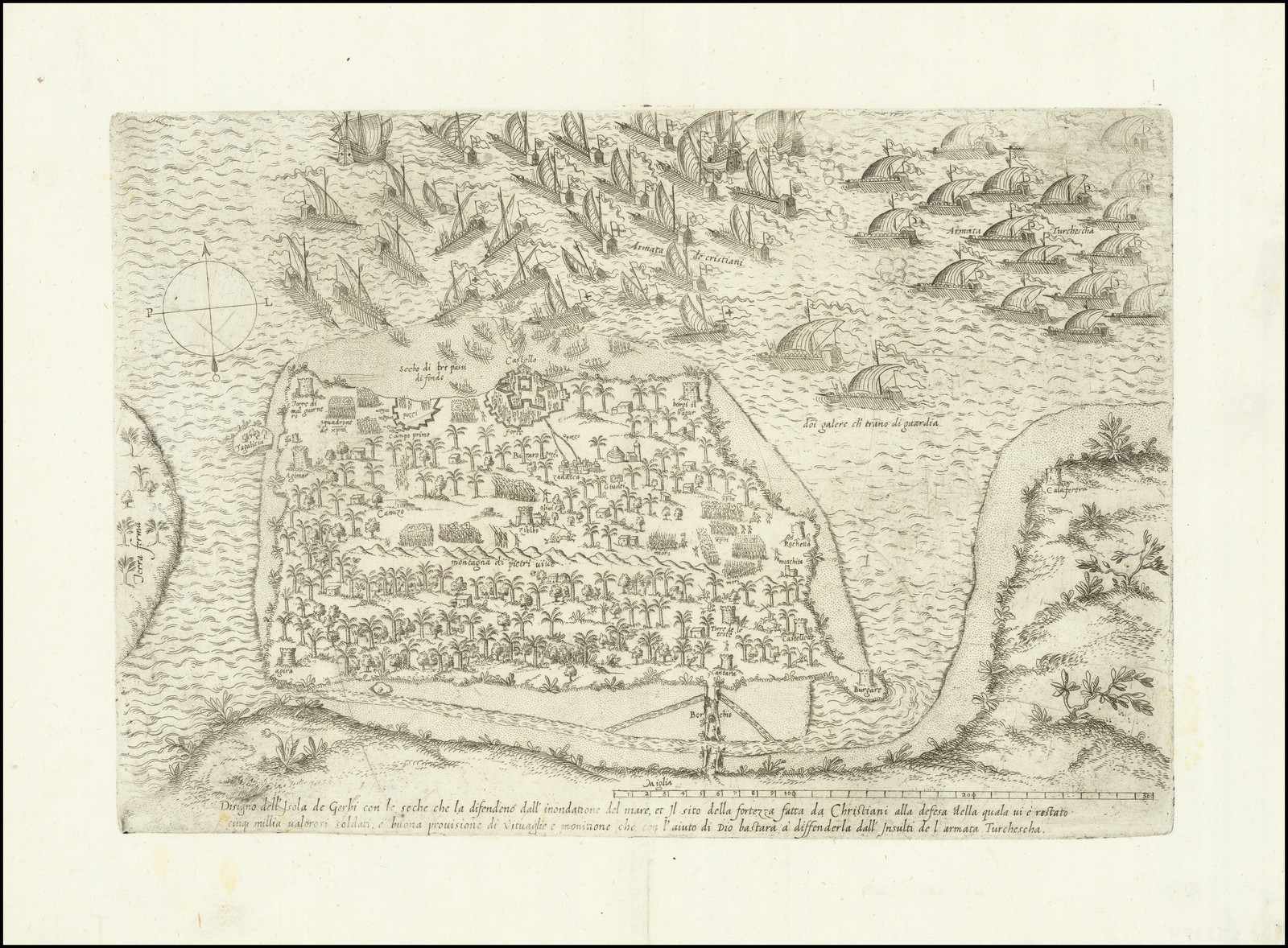
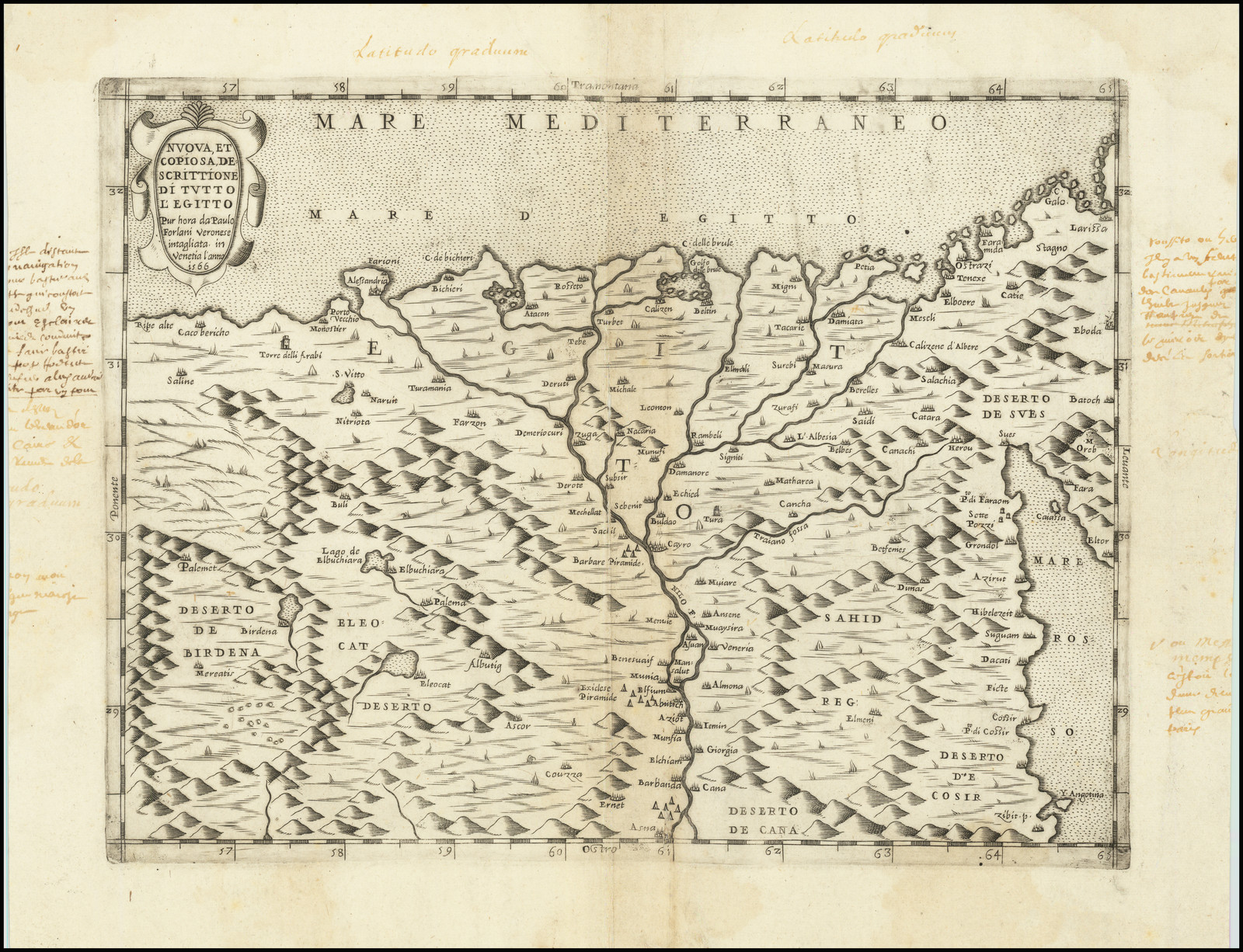
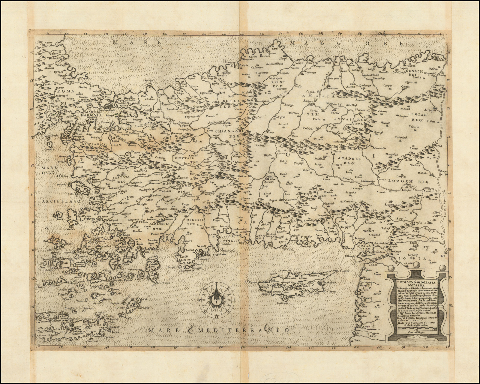
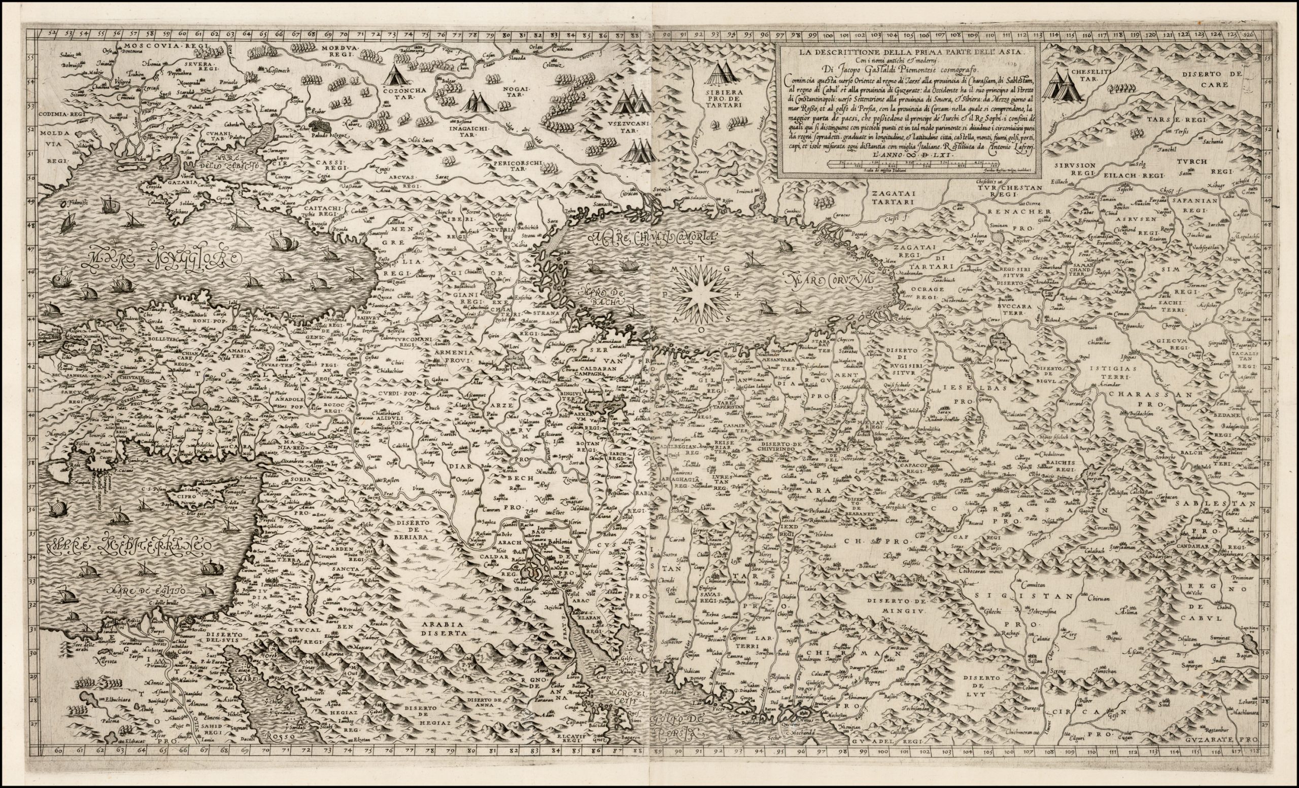
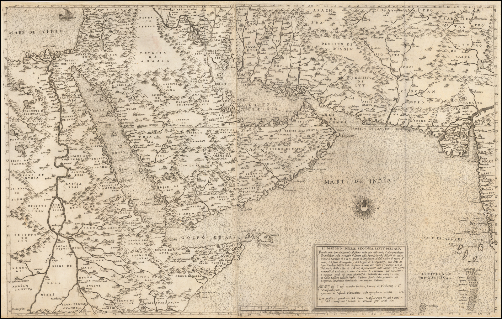
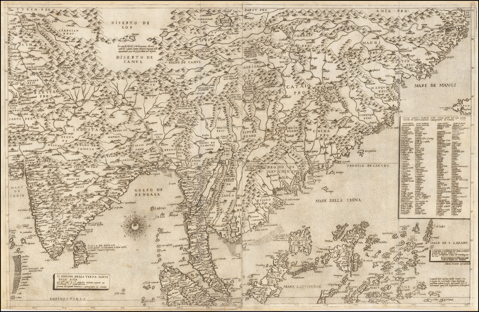
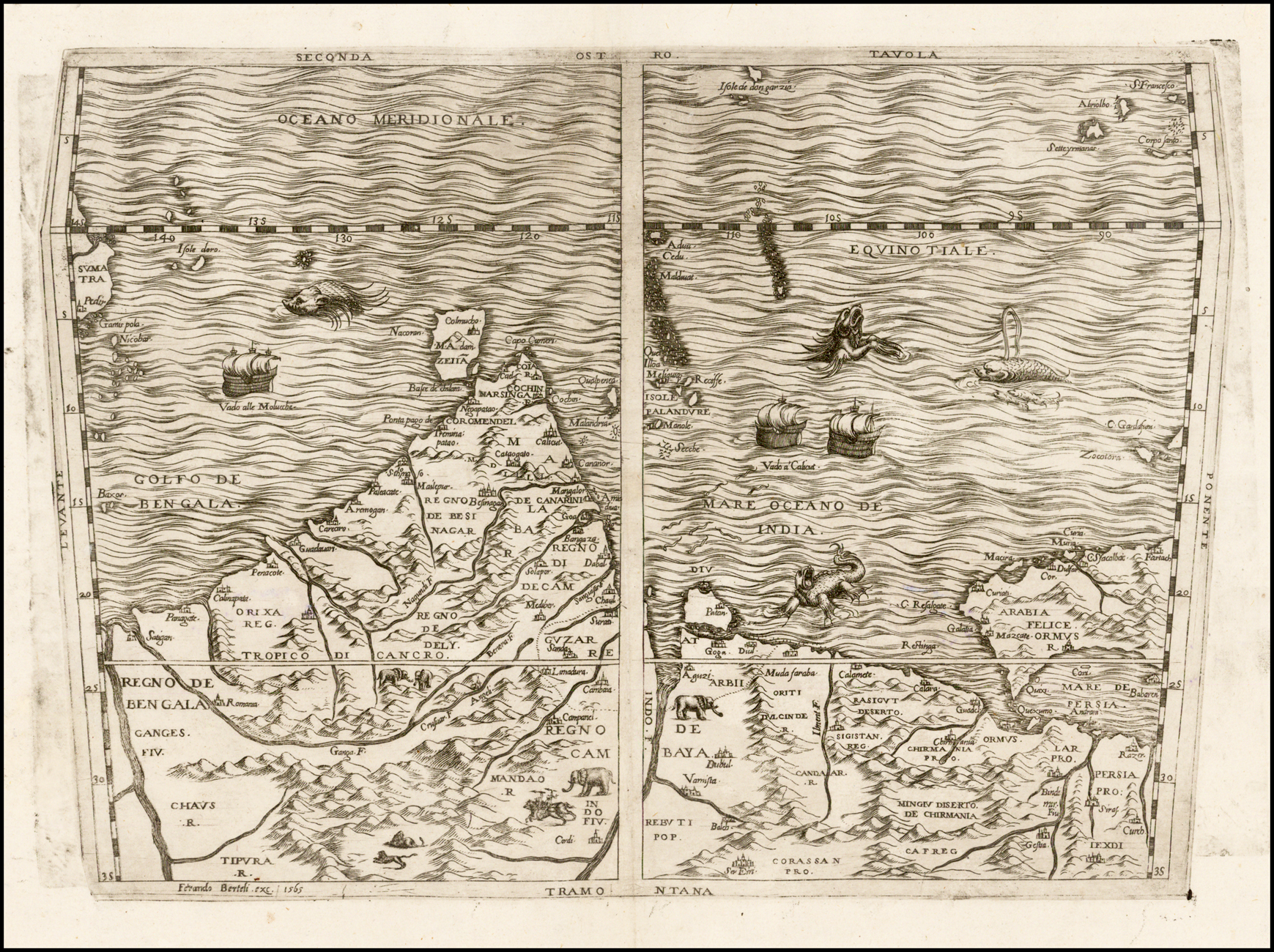
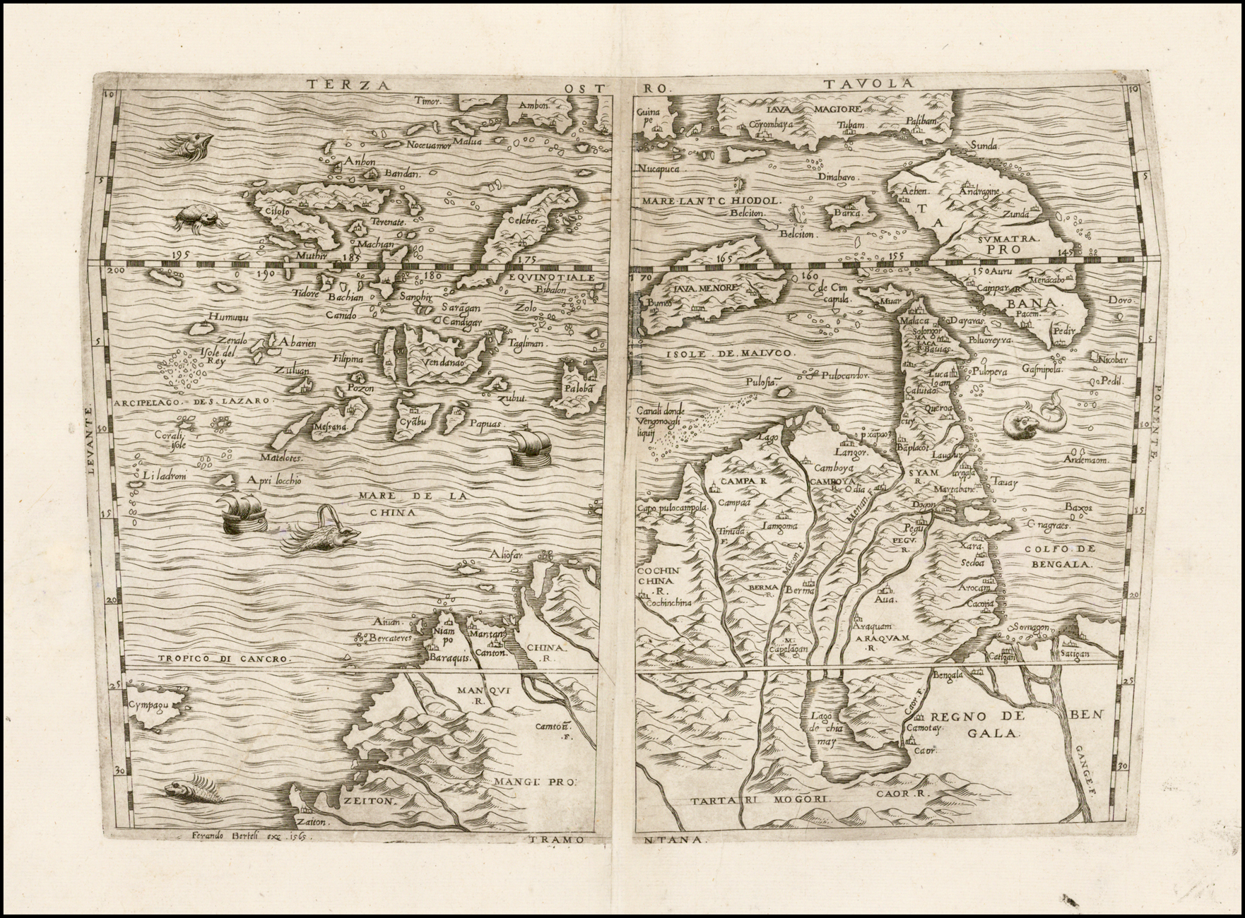
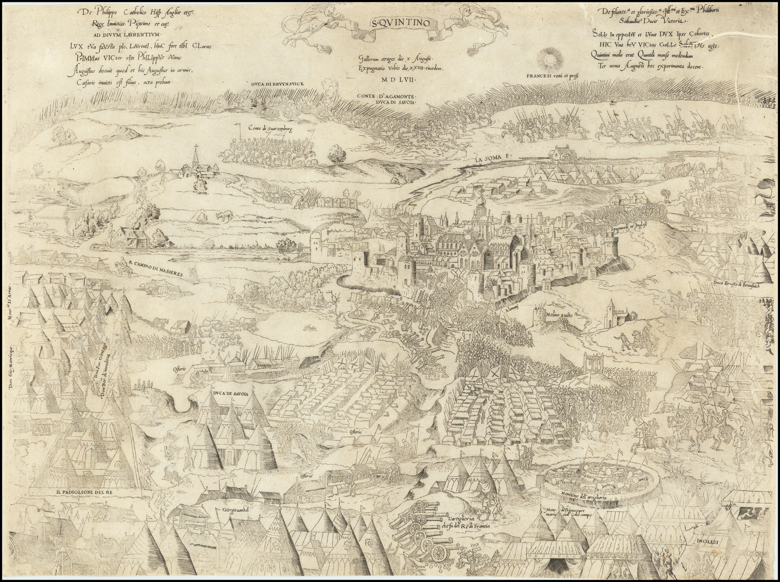
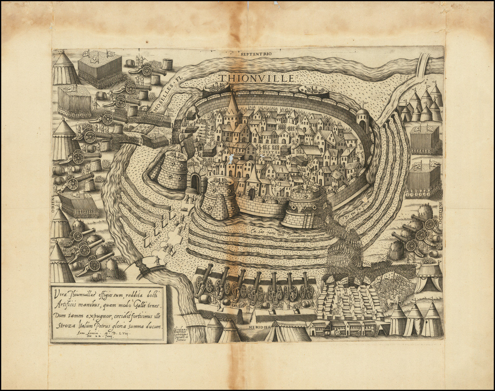
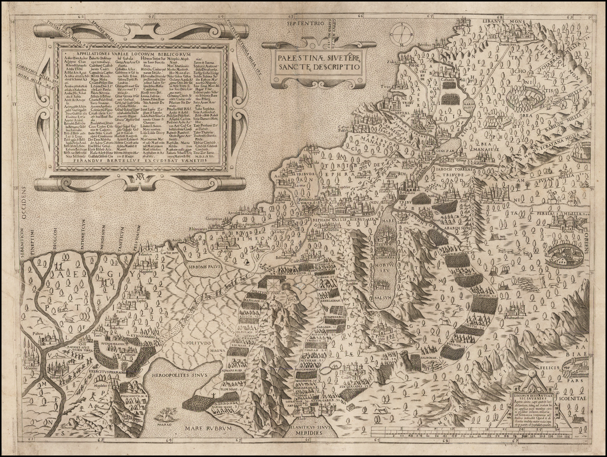
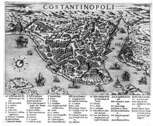
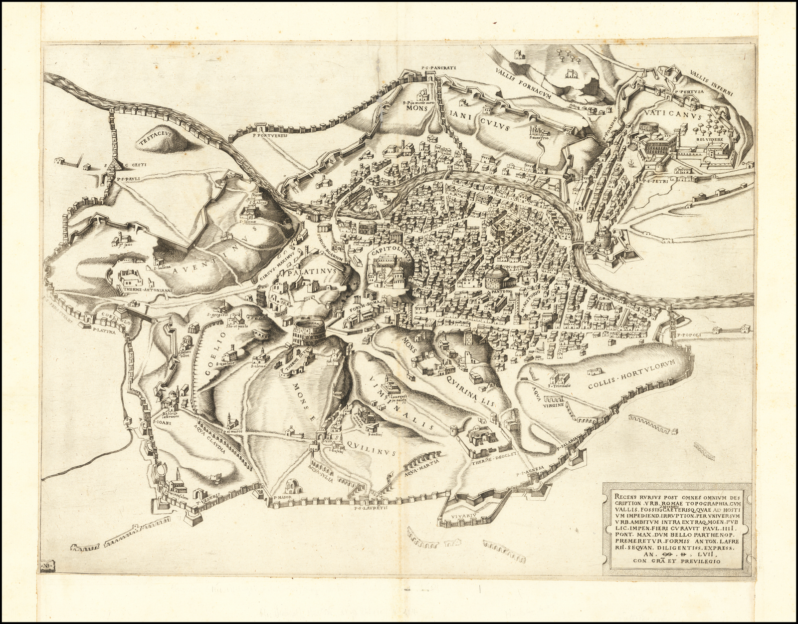
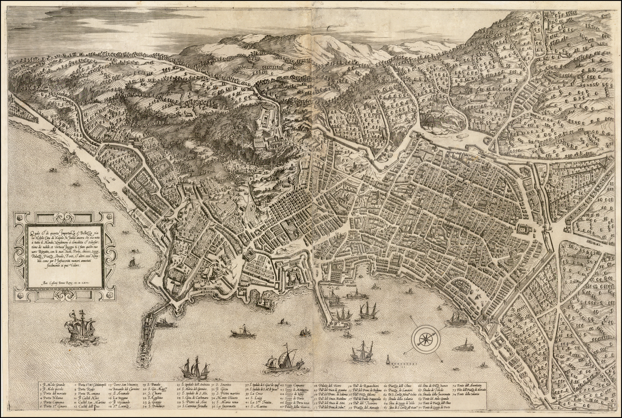
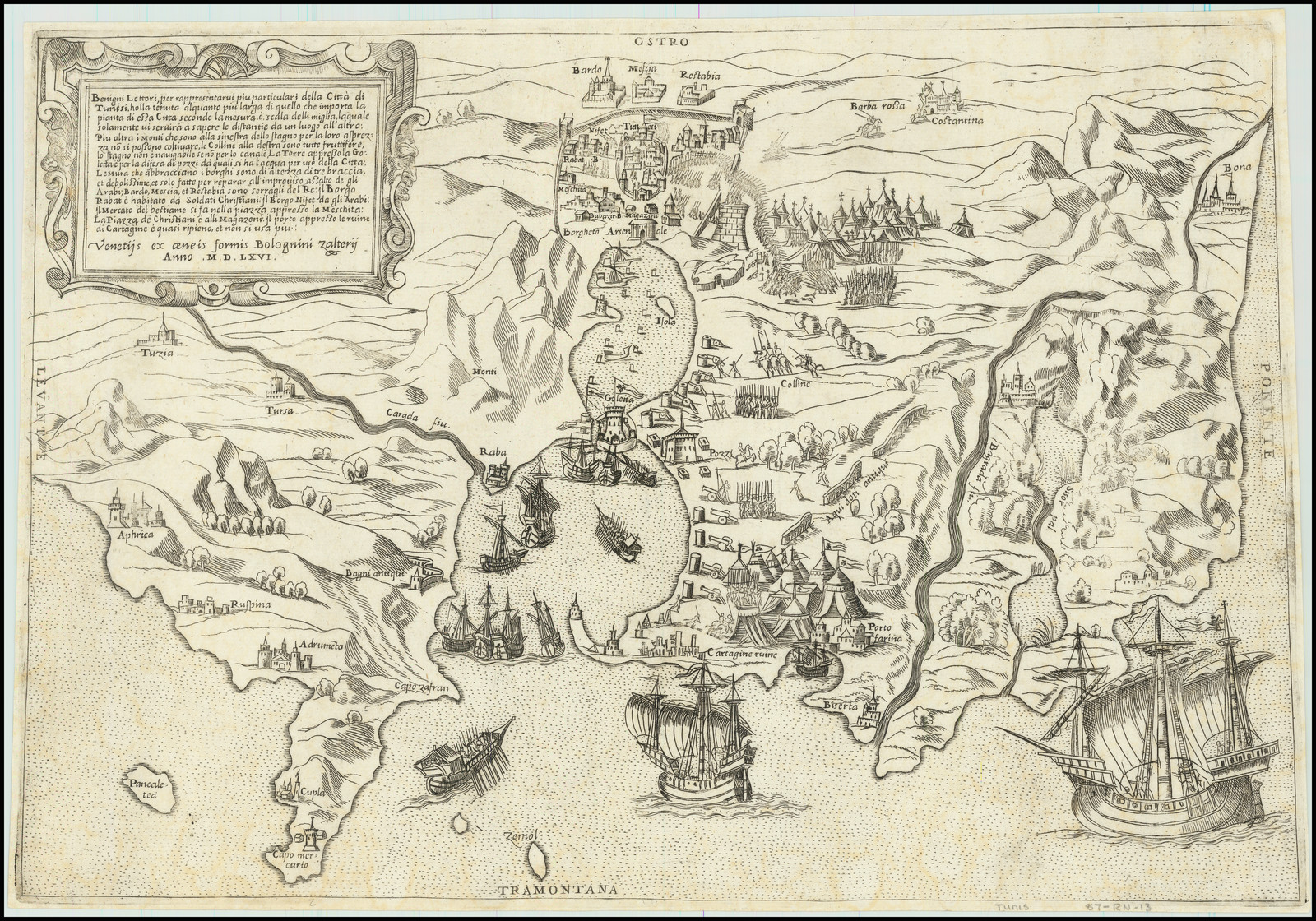
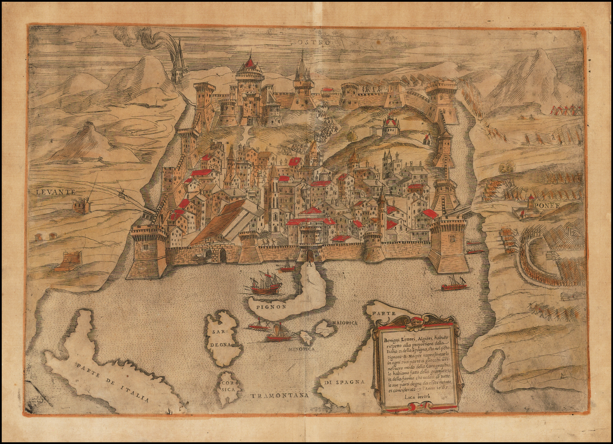
From about 1544, there was a great upsurge in the number of people publishing maps in Italy, based in the twin centres of Rome and Venice. These publishers, working independently, produced their maps in many different sizes, in anything up to nine sheets, or more. Gradually it became the fashion to bind the maps together, into composite atlases (popularly called ‘Lafreri Atlases’ after one of the leading map-publishers of the period, Antonio Lafreri, or less commonly “IATO” atlases – Italian, Assembled To Order).
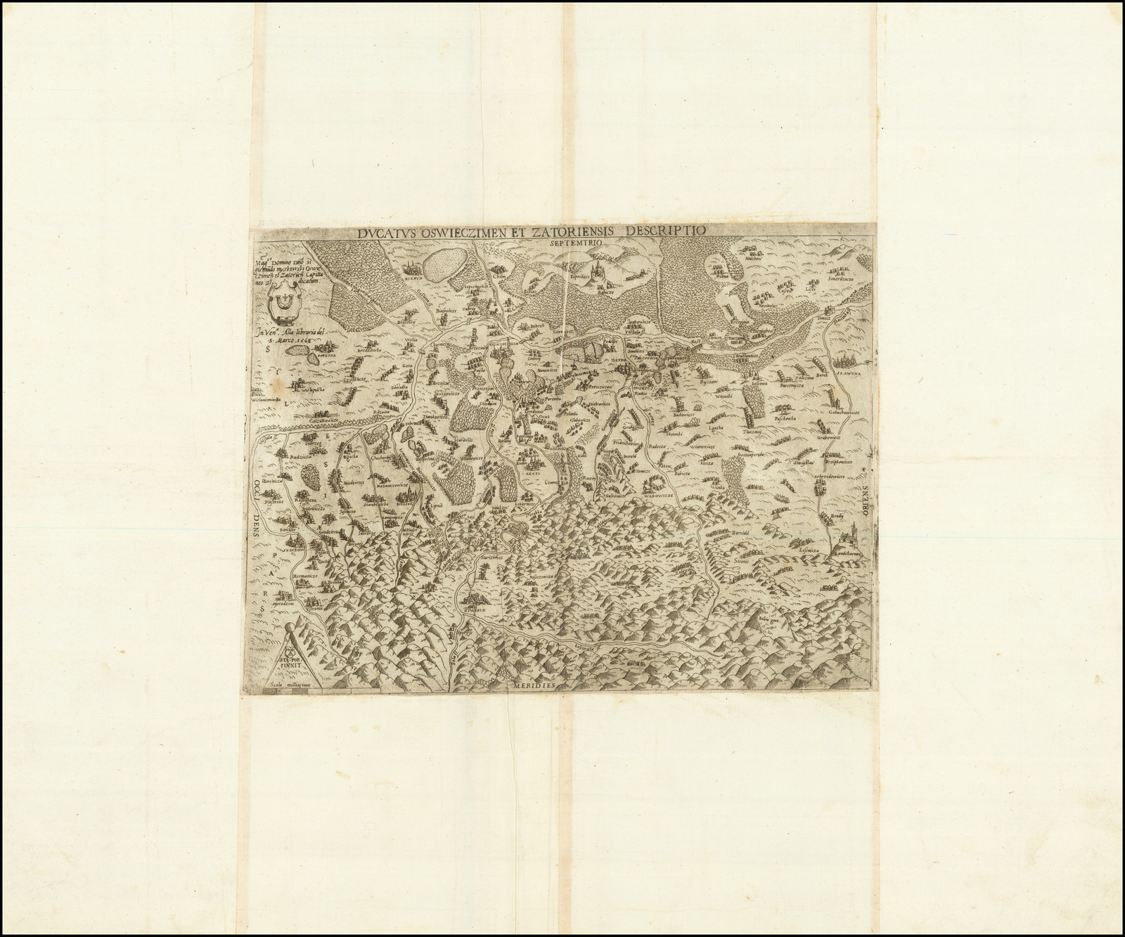
However, when the maps were bound, problems arose because of the diversity of sizes. To create a uniform size for binding, it became the fashion to cut the maps down to the platemark or engraved border, and then paste-on additional paper margins. The larger maps would be folded down, often many times.
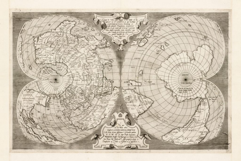
While it can be argued that these Italian composite atlases are the first modern atlases of the World, it does not seem that any of the Italian publishers addressed the problem of the inconvenient mixture of formats, so that it can also be said that they lacked the vision, or sense of purpose, to deserve the credit for this major advance in the history of cartography.
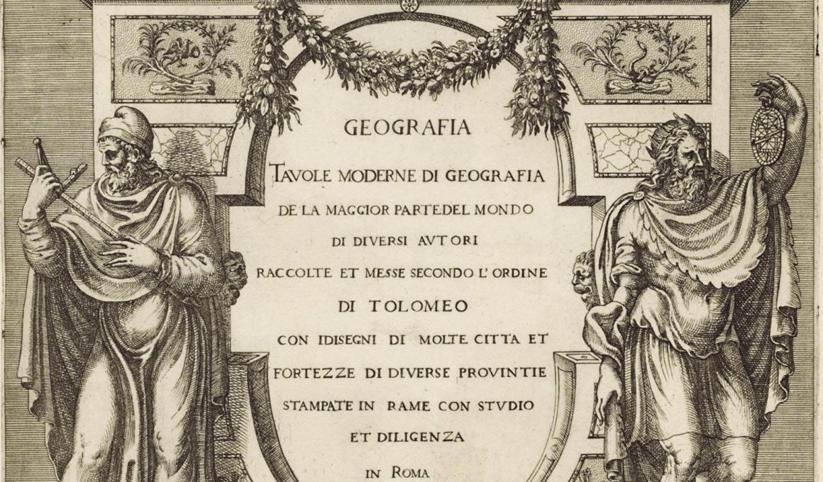
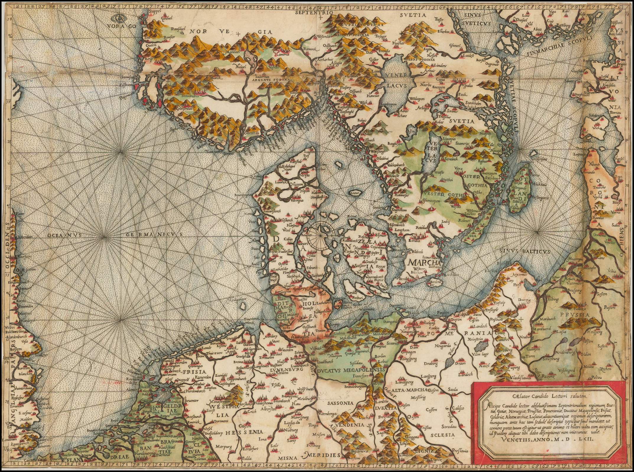
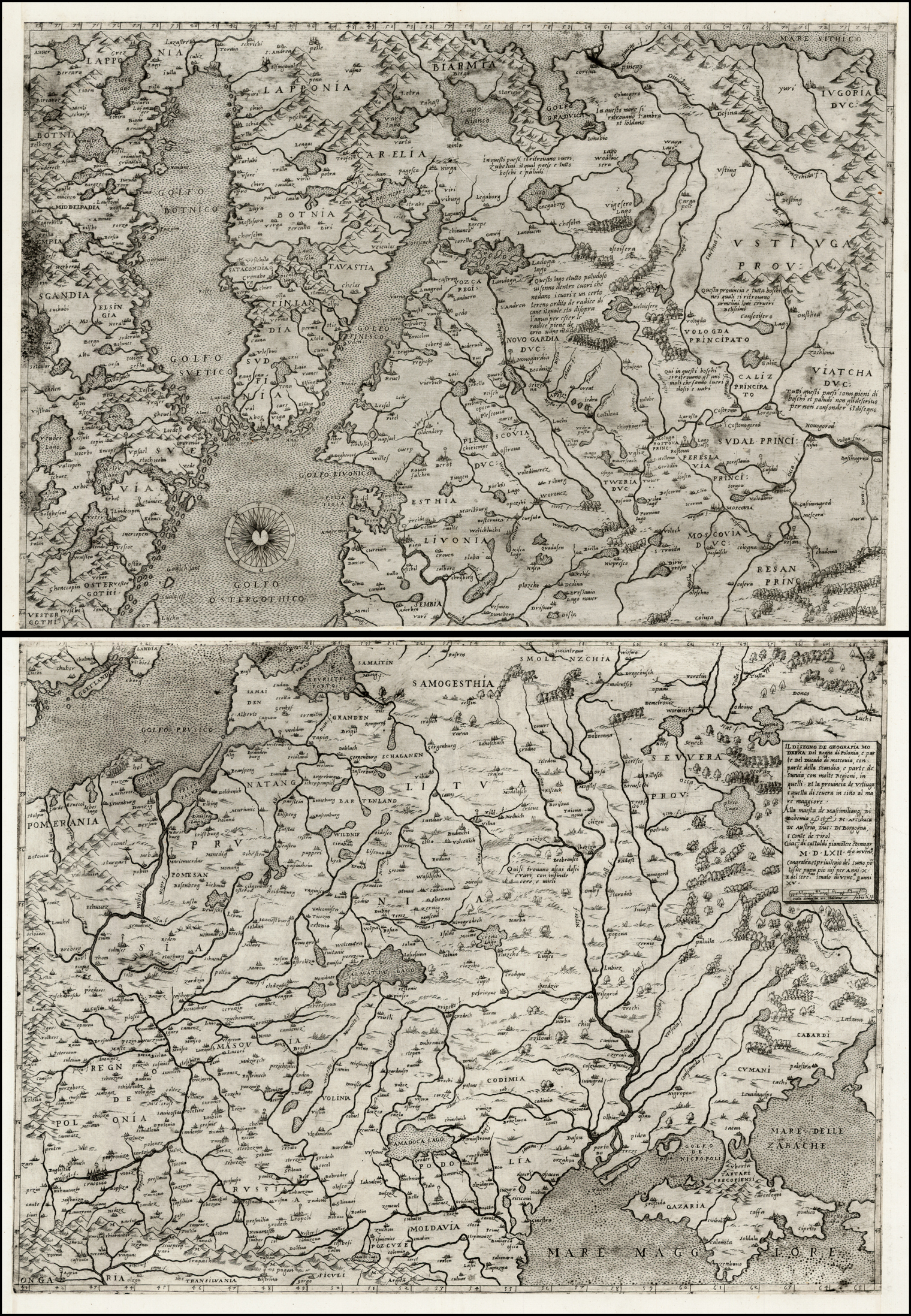
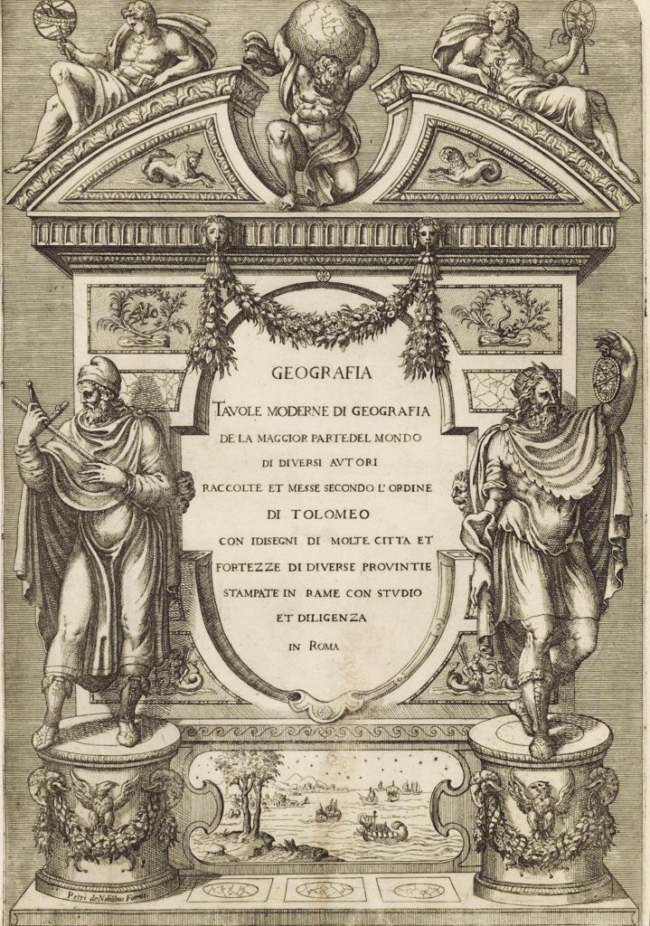
Indeed, only one publisher conceived the idea of supplying an engraved title-page for these collections, which is tentatively dated to about 1570-1572. It is generally believed that this publisher was Lafreri, and this is the principal reason why Lafreri’s name has received the priority it has, although he was only one of a number of map-publishers of the period, whose material is found in such atlases. Other publishers include Michele Tramezini, the Bertelli family, Giovanni Francesco Camocio, Bolognini Zaltieri and others, while the most influential cartographer, and pre-eminent figure in the Italian map-trade of this period, is Giacomo Gastaldi, based in Venice.
The term “IATO” more accurately reflects the origin and make-up of such atlases, as the work of a range of publishers is often found in such atlases, with the contents selected by the purchaser, to reflect his individual business, family or personal interests. Thus, no two examples of an atlas of this period have the same make-up, either in terms of geographical coverage, number of maps, or even the maps used.
The first years of the sixteenth century were an exciting time for European cartography, as the individual map-makers, sometimes with official patronage, but other times working independently began to map Europe. Very many of these surveys, when published, were issued as separate publications, often on multiple sheets. Such was the importance of much of this work, that the Italian publishers copied it, often on single sheets.
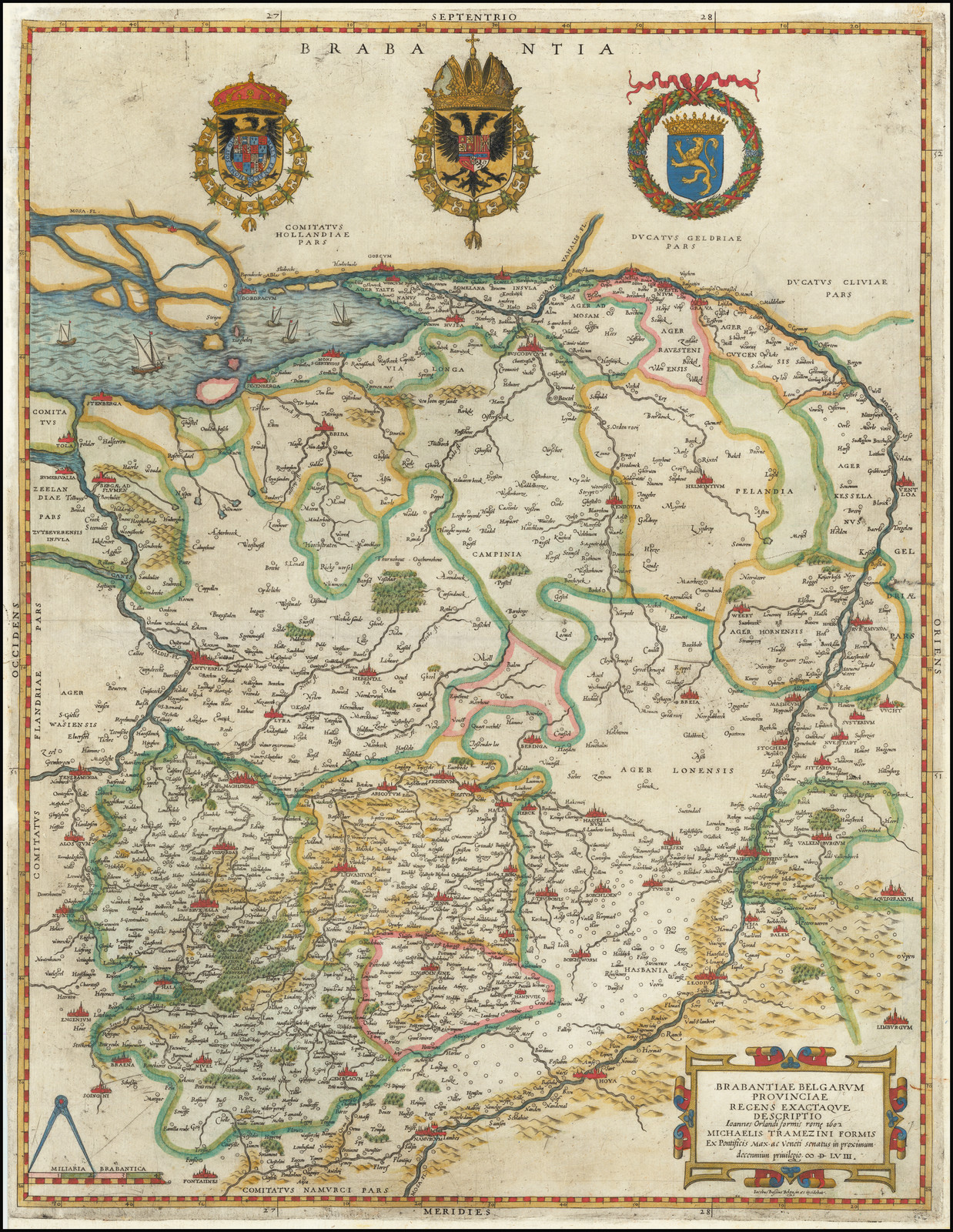
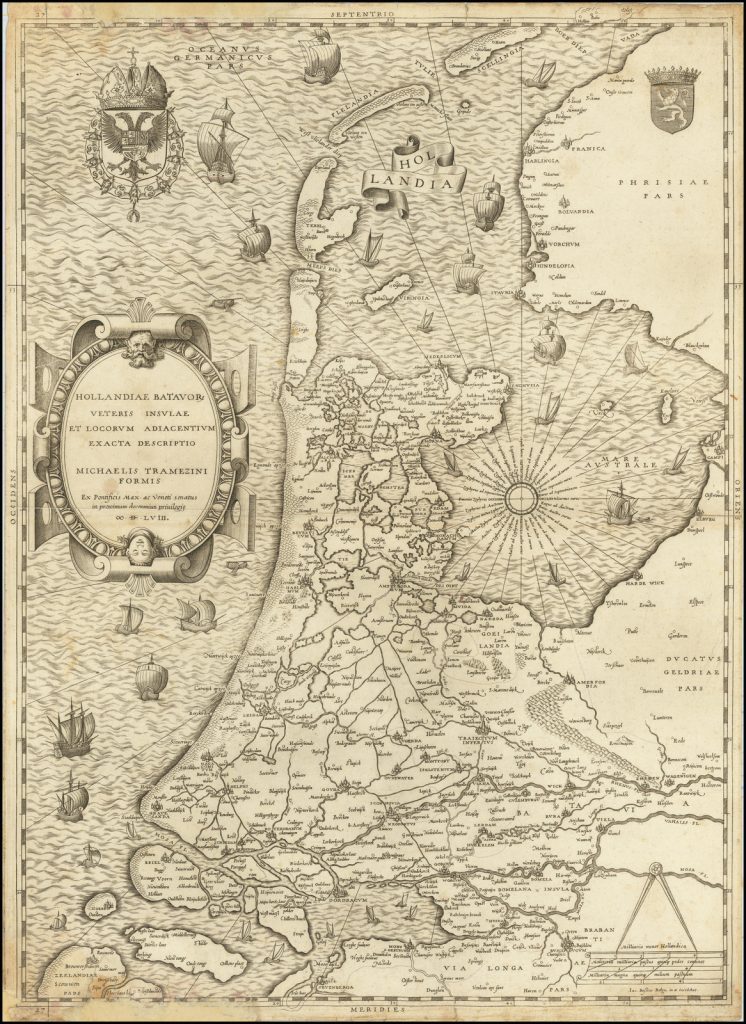
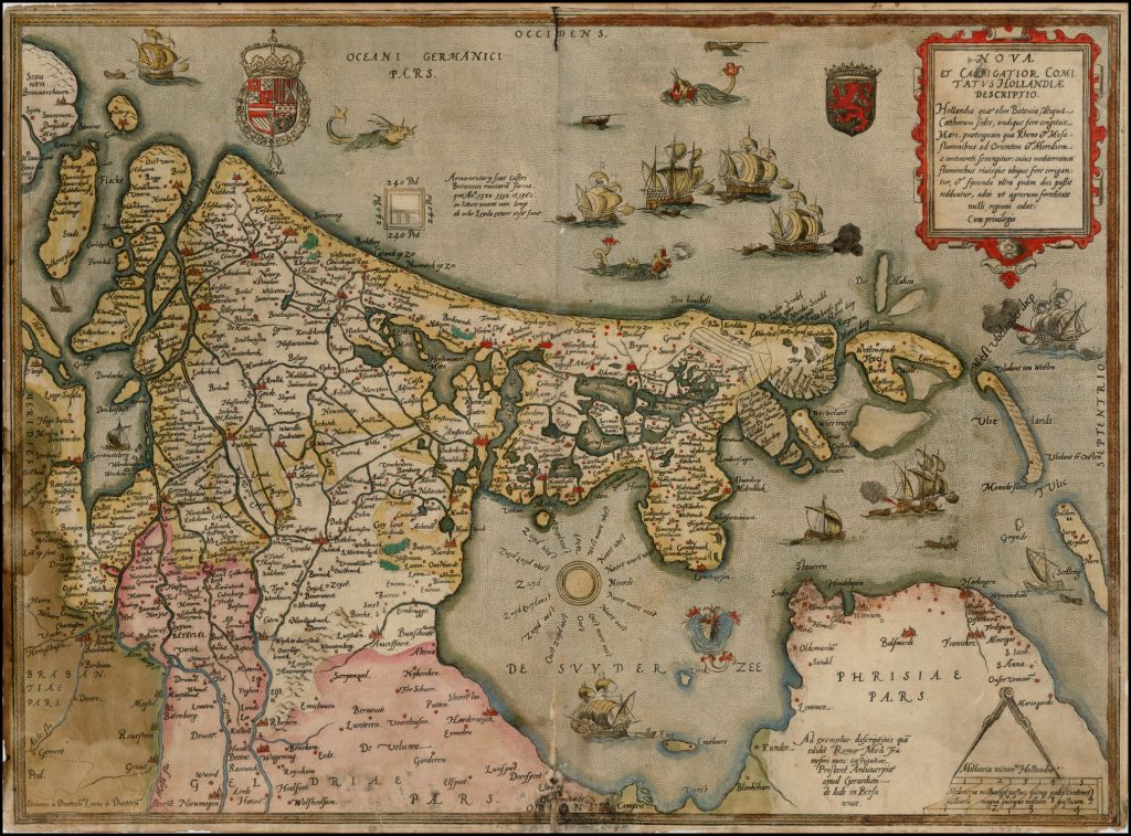
With the passage of time, may of the large maps were lost, and in many cases it is only through these Italian copies that the original map is known. A particular example is the series of surveys made by Jan van Deventer in the Low Countries, published between 1542 and 1546. These maps were then copied by Michele Tramezini in Rome, and his versions were then copied by his contemporaries in Italy. However, when Gerard de Jode, a publisher in Antwerp in the 1560’s and 1570’s, wished to publish copies of Deventer’s maps, apparently the only examples of the maps of Holland, Brabant and Gelderland available to de Jode were Tramezini’s copies.
raremaps.com
raremaps.com
Thus, these Italian atlases play a very important role in preserving printed materials that otherwise might be lost.
The last systematic survey of maps by these Italian publishers was conducted by R.V. Tooley, and published in ‘Imago Mundi in 1939, although there have been valuable contributions on smaller topics, for example, by David Woodward on the prolific engraver Paolo Forlani.
It is the intention, over the coming months to provide collations of numbers of these “Lafreri Atlases”, with the long-term view of producing a revised and up-dated listing of maps from this important period.
