A List of Printed Maps 1511-1670
By Philip D. Burden.
Rickmansworth, Hertfordshire, Raleigh Publications, 1996. ISBN: 0 9527733 0 9. xxxiv, 568pp, 418 illus, 11 colour plates. £120.
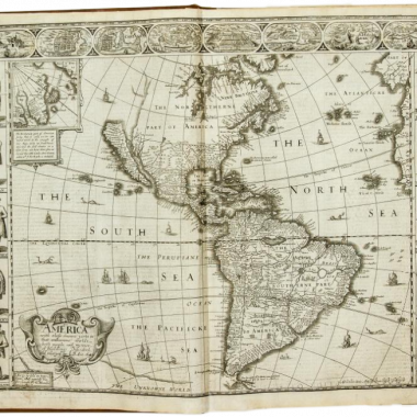
It has long been a surprise, with the great energies of time and money that have been expended on collecting early maps of the Americas both by institutional and private collectors, that so few carto-bibliographies of North American subjects have been published.
One of the particular appeals of maps of North America, and its parts, is that the early modern mapmaker essentially started with a blank piece of paper, and slowly, generation by generation, the outlines, then the hinterland, and finally the interior are filled in, with rivers, mountains, lakes and other natural features, and then details of the settlement patterns. This sense of development also lends itself readily to carto-bibliographic study.
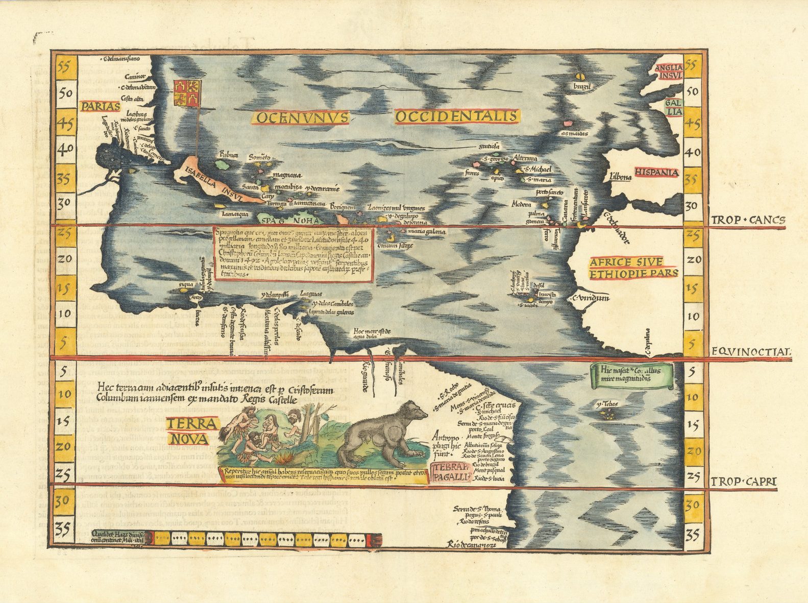
Philip Burden’s book is the first attempt to approach in detail the mapping of North America from 1511 (the first map specifically devoted to the New World) to 1670.
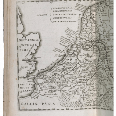
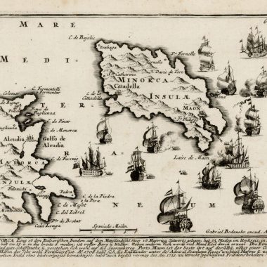
Defining his purpose, Burden wrote: “This book concentrates on the mapping of North America …. To define the limits of inclusion I set the following geographical boundaries: every printed map that details any part of North America is included. That is those concentrating on, or delineating in some detail, the area north of the present Mexican border with the United States of America” (Preface, p.v). To that end, he describes and, more importantly, illustrated 410 printed maps that fit his theme.
One particular exclusion is world maps, as having been extensively described in Rodney Shirley’s The Mapping of the World, except in cases where the map is in two separate hemispheres, and where the western Hemisphere might reasonably be expected to turn up separately.
Now that such a volume exists, it is hard to believe that such an important study has never been attempted before, and yet the comprehensive nature of the listing, the detailed descriptions and listing of individual states is testimony to the sheer amount of work (and travel) involved in bringing this work to press. The author himself talks of nine years work, involving “all hours of the day and night”.
The carto-bibliographic listing is preceded by a valuable general introduction, setting the scene, with accounts of pre-Columbian discoveries, Columbus’ voyages and then those of the English and Portuguese. Then follows a section describing, and with an impressive suite of plates illustrating, the developing outline of the American littoral on contemporary portolan charts and then on printed maps of the world up to 1511. Finally, there is an overview of the period from 1511 to 1670, setting cartographic developments in the context of voyages and settlement throughout the region.
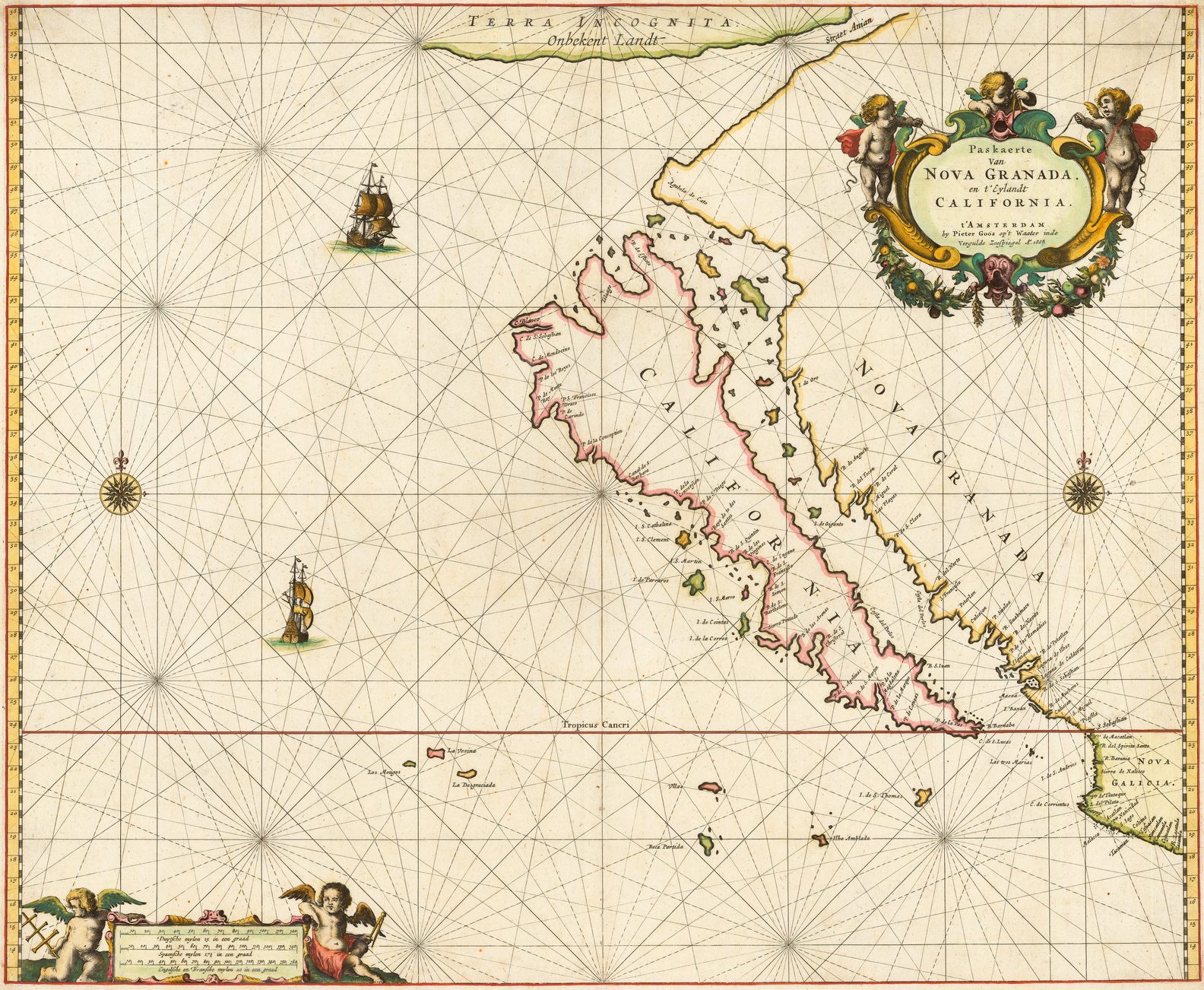
The work is rounded off by a series of very useful (and occasionally provocative) Appendices, highlighting particular themes: Lost Maps, maps showing California as an island, a listing of the first appearance of places or geographical features on printed maps, a chronology of events, an analysis of places of production, a short list of entries, and finally an alphabetical list of the maps by title.
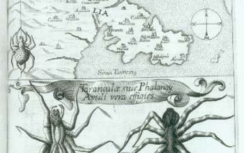
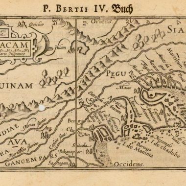
Within the main listing, an enormous number of maps of different regions are included. While the obvious subjects are included (maps of the Americas, North America, New England, Carolinas, South-East, West Indies and so on), a lot of unexpected areas are shown, for example, the series of celestial charts by Andreas Cellarius, which include geographic detail of the earth in the background. There are some maps, however, that this reviewer finds it hard to justify in a carto-bibliography of North America. Ortelius’ map of Tartary (1570; map 41) does at least show some detail and nomenclature for the California region. The companion map of Scandinavia (map 40) shows the merest tip of the Labrador coast, as to be meaningless. The same could be said of the maps of Scandinavia by Munster (1540), Zeno (1558), Ruscelli, and so on.
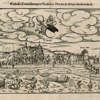
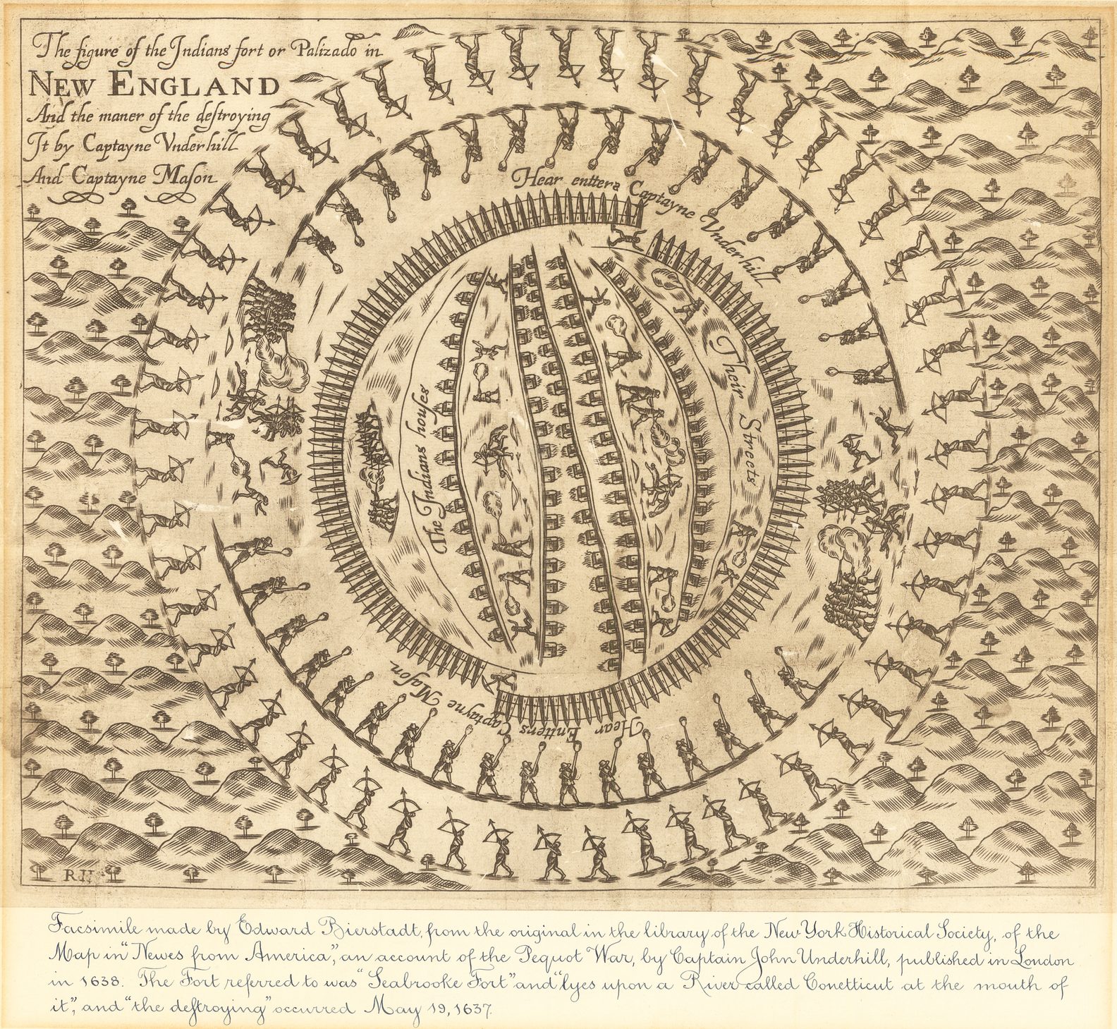
One cannot help but think that by throwing the net so wide, the impact of the central themes and development is dissipated. With such a wide scope, there is a tremendous amount of material that could be included, while some obvious material seems to have been excluded. If the various versions of Boazio’s plan of St. Augustine could be included, perhaps the anonymous plan of the French fort on the River May, published in Paris in 1565, Ramusio’s plan of Hochelaga, and surrounding country, or John Underhill’s plan of a British attack on an Indian fort in New England might also have a good claim to be included.
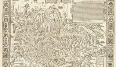
A series of charts at the end of the volume go some way towards providing an overview of prototype maps and their influences, and gathering the various maps in their geographical groups, such as maps of the North Atlantic, New England, Mid-Atlantic states and the South East.
A very useful feature is that each of the maps is illustrated with the pictures, in the main, of high quality. The maps are generally reproduced without regard to the size of the original, but more with an eye to the space available, in proximity to the catalogue entry.. A small number, however, are reproduced on very small scale, and the detail is hard to discern, even with magnifying glass.
Each entry is accompanied by a detailed description of the map, its sources, important features, in what form it was published and so on. While the author has a great deal of information at his finger tips, the entries are often poorly organised and ungrammatical, so that digressions, or infelicities of language, often interfere with a closely argued point. This is a little gripe, but more thorough editing would have greatly improved the accessibility of the text.
A more serious problem is the binding. This is a large, and heavy, volume, but the stitching is simply not strong enough. A good many copies that I know of have had the spine split the first time the volume is opened, which is unfortunate in view of the expense of the volume.
That said, the author is to credited with what is a very important contribution to the cartographic literature. The assiduous diligence with which he has searched through the great map collections (both public and private) – as indicated by the locations cited at the end of the entry – to turn up a good number of previously unrecorded or overlooked items, is worthy of the highest praise. This listing also seems extremely thorough, and this is one situation where the ‘Not in …’ label will justify that description.
The Mapping of North America deserves – no, demands – a place in every reference library as an indispensable tool in the study of maps of the region, but also as a first point of reference to the books and atlases of the period in question, a use that will extend to all researchers working on maps of this period. It is with the greatest anticipation that the second volume, extending the coverage from 1670 to 1700 is awaited.