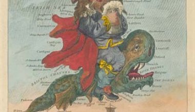
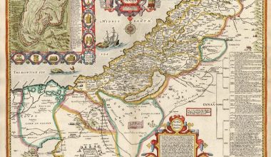
Paul Sandby’s Map of Scotland
Despite having worked extensively on Sandby’s map, this was only the second time that Dr. Hodson had been able to open the map to its full extent: the only other time that she is aware of it being fully opened was for her exhibition on the Ordnance Survey at the Tower of London. However it had to be suspended high up on a wall, which was hardly the best circumstance for close examination.
Dr. Yolande Hodson, a leading authority on the early history of the Ordnance Survey and its origins, was kind enough to give an impromptu talk on the map to an enthralled audience (including this editor, and the reader in the centre of the photograph), explaining the importance of the survey, and outlining the careers of some of the surveyors and artists involved.
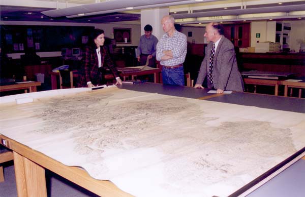
Photograph courtesy British Library Board
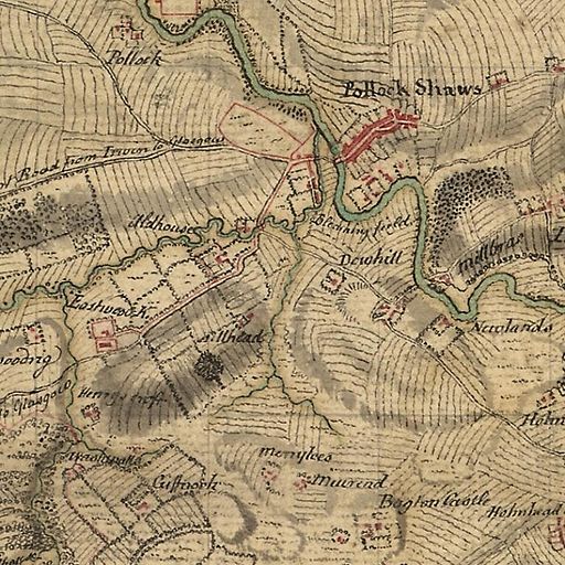
Paul Sandy’s map measures approximately 10 by 7 feet (310 by 215cm), and is a one-fourth reduction of the completed Roy map (also held by the BL), which is on 38 separate, differently sized sheets. Dr. Hodson described it as:
“an exceptional work of art whose full splendour can only be appreciated properly when it is seen as a whole: only when it is laid out on the table that the awesome accomplishment of Paul Sandby can be fully appreciated. He was only sixteen when he joined the Military Survey of Scotland, in 1749, and he went on to become the Founder of British Watercolour art. This map of Scotland has flowed from the hand of a gifted young artist, who reduced the original survey, on a scale of 1:36000, to 1:144000, with what was described by Dundas, one of the surveyors, as ‘a thousand graces'”.
Although Dr. Hodson had previously studied the map in the old British Museum Map Room, she recalled that it had never been possible to fully unroll the map, as it would have taken virtually all the available tables. By contrast, she could not speak too highly about the facilities of the new Map Library, and congratulated the British Library on its foresight in providing an environment that does justice to the national cartographic heritage that is comprised in its collections, with the proper provision of space for the consultation of oversize materials, which form a large proportion of the collections- particularly the Kings topographical collection.
William Roy, Public domain, via Wikimedia Commons
Dr. Hodson concluded by describing the map as:
“one of the jewels in the Royal topographical collections and Britain’s national heritage, as one of the suite of original materials relating to the first large-scale national survey of one of the countries of Great Britain – the Military Survey of Scotland 1747-1755.”
Editors note: At the same time that Dr. Hodson was examining the Roy map, Iolo and Menai Evans had two wall-maps of the West Indies unrolled, as part of their research into Welsh mapmakers and engravers for the forthcoming expanded edition of the Dictionary of National Biography. I had two examples of Christopher Saxton’s wall-map of England and Wales, each on sixteen sheets joined, open. This is remarkable testimony to the marvellous facilities available to readers in the new Map Library at St Pancras.