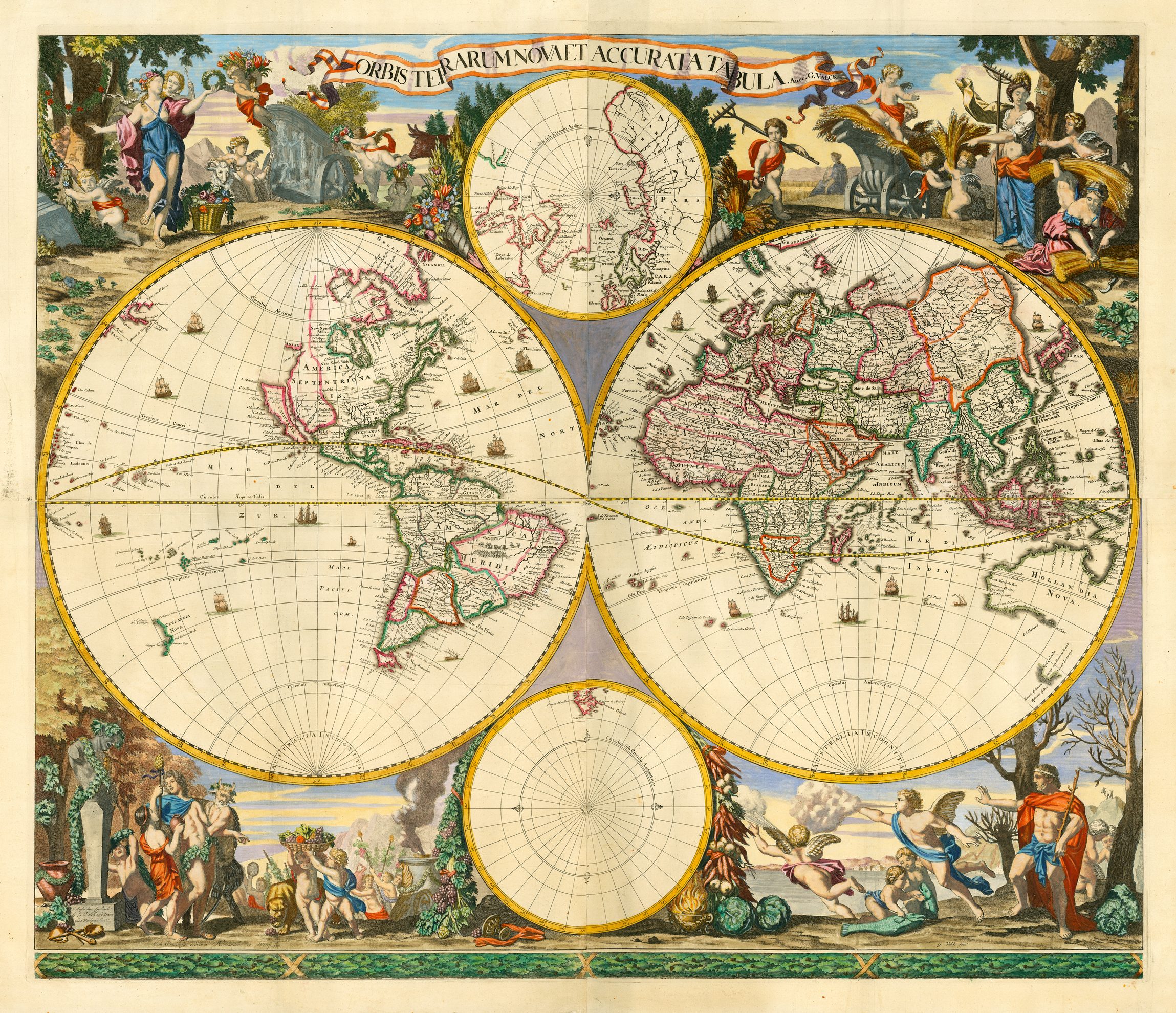
In Issue 6 we ran an article which discussed Herman Moll’s rabid xenophobia, which he voiced in adverts in the gaps of his large scale maps. Here we have another example of anti-foreigner propaganda, this time from the Dutch publisher Frederick de Wit.
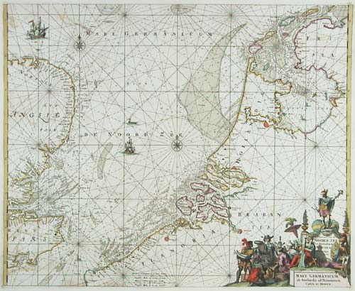
De Wit came to prominence in the mid-seventeenth century, issuing atlases from the 1670s. After the fire at the Blaeu printing house he bought many of the surviving plates. His outstanding work is the “Orbis Maritimus ofte ZeeAtlas” of 1680. Each chart is decorated with a title cartouche, which, in the best examples of the atlas, has hand colouring of the finest quality. However he was just as willing as Moll to use these charts for propaganda.
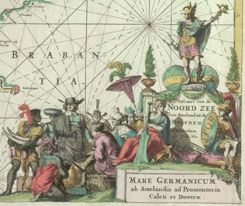
The charts of the coasts of two European colonial powers have cartouches featuring the supposed National characteristics: those of Holland and Spain. Each shows a European surrounded by natives, but with a slightly different approach. The Dutchman has affluent-looking natives laying trade goods at his feet, with allegorical figures suggesting that Holland has taken over the mantle of the Romans as bringers of peace.
This is in stark contrast to the chart of the Iberian coastline. The natives here are chained; a headless body lies to one side; and a donnã has a small slave child carrying her train.
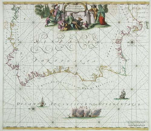
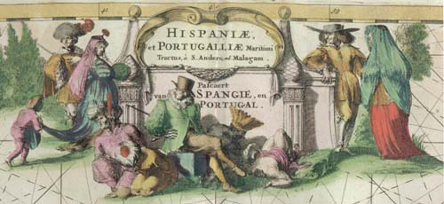
It is easy to miss the hidden message in these cartouches by just looking at the quality of the work. Obviously the Dutch still remembered the Spanish oppression of nearly a century before and the subsequent world-wide rivalry.