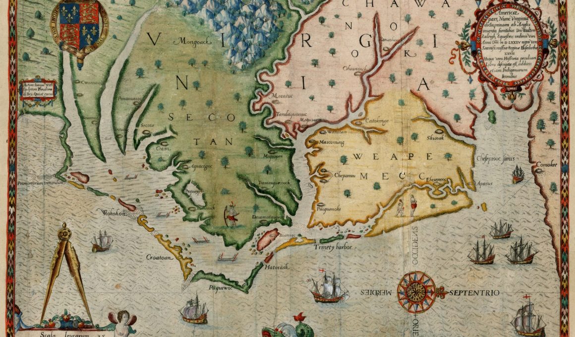
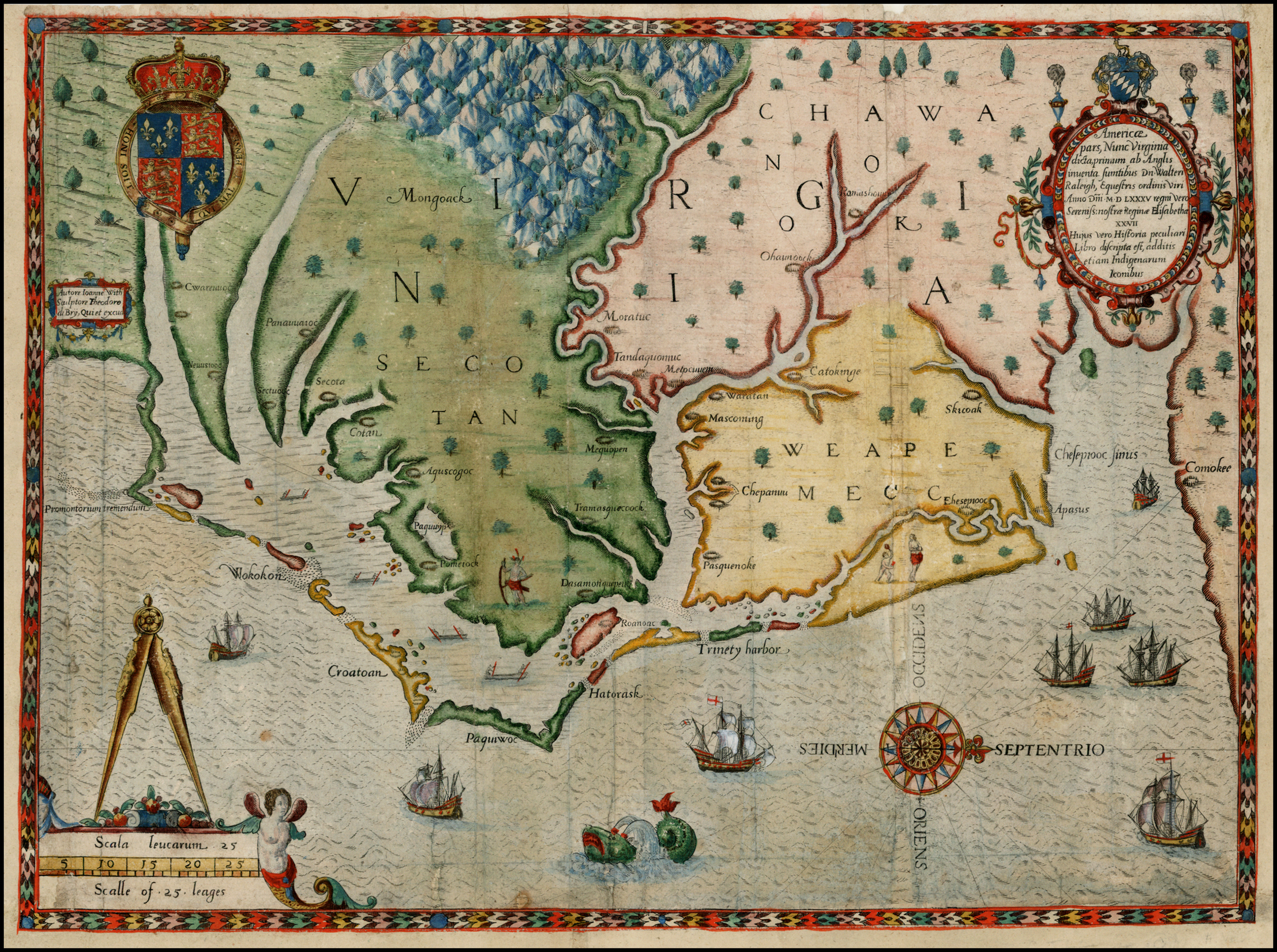
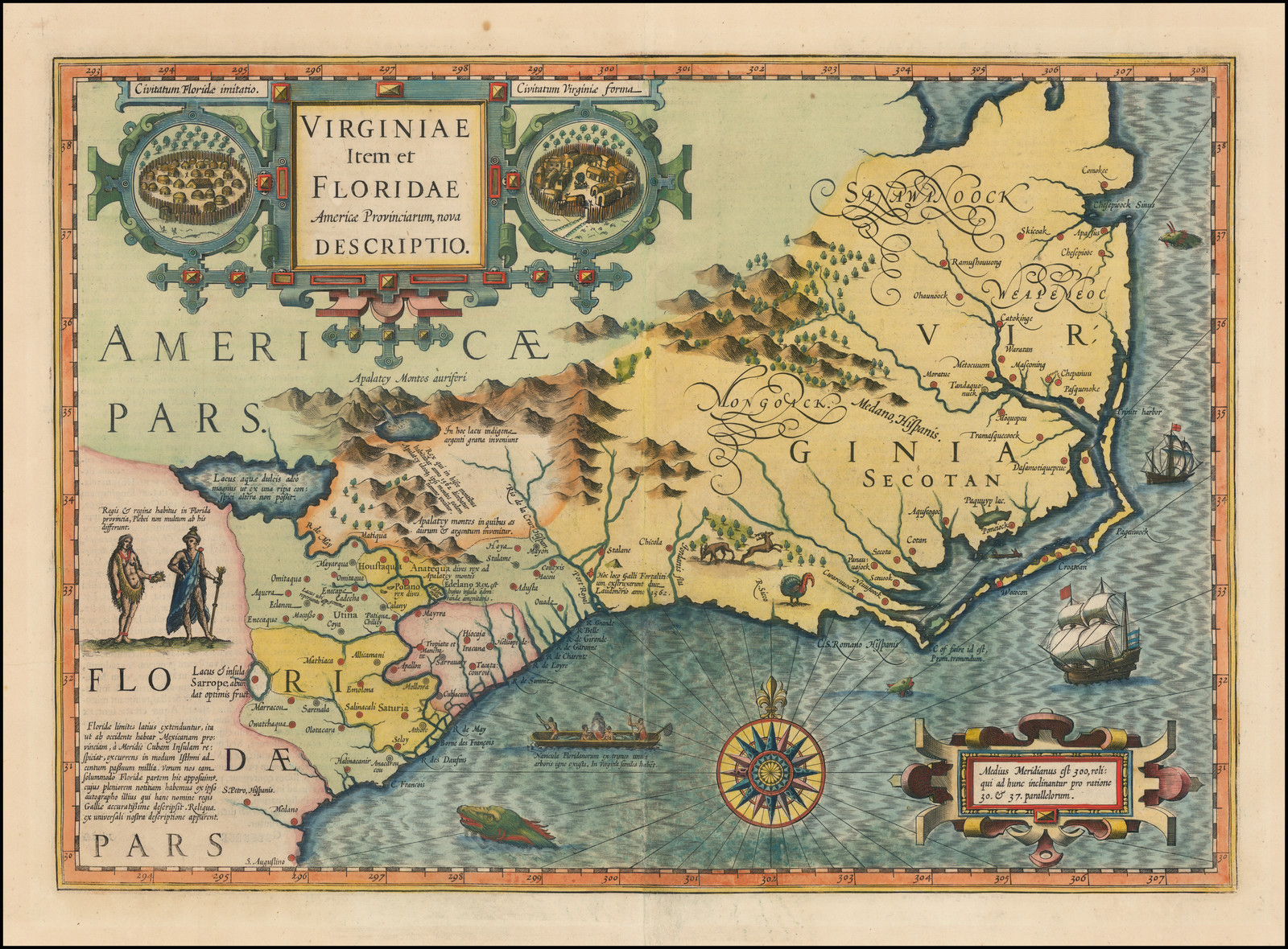
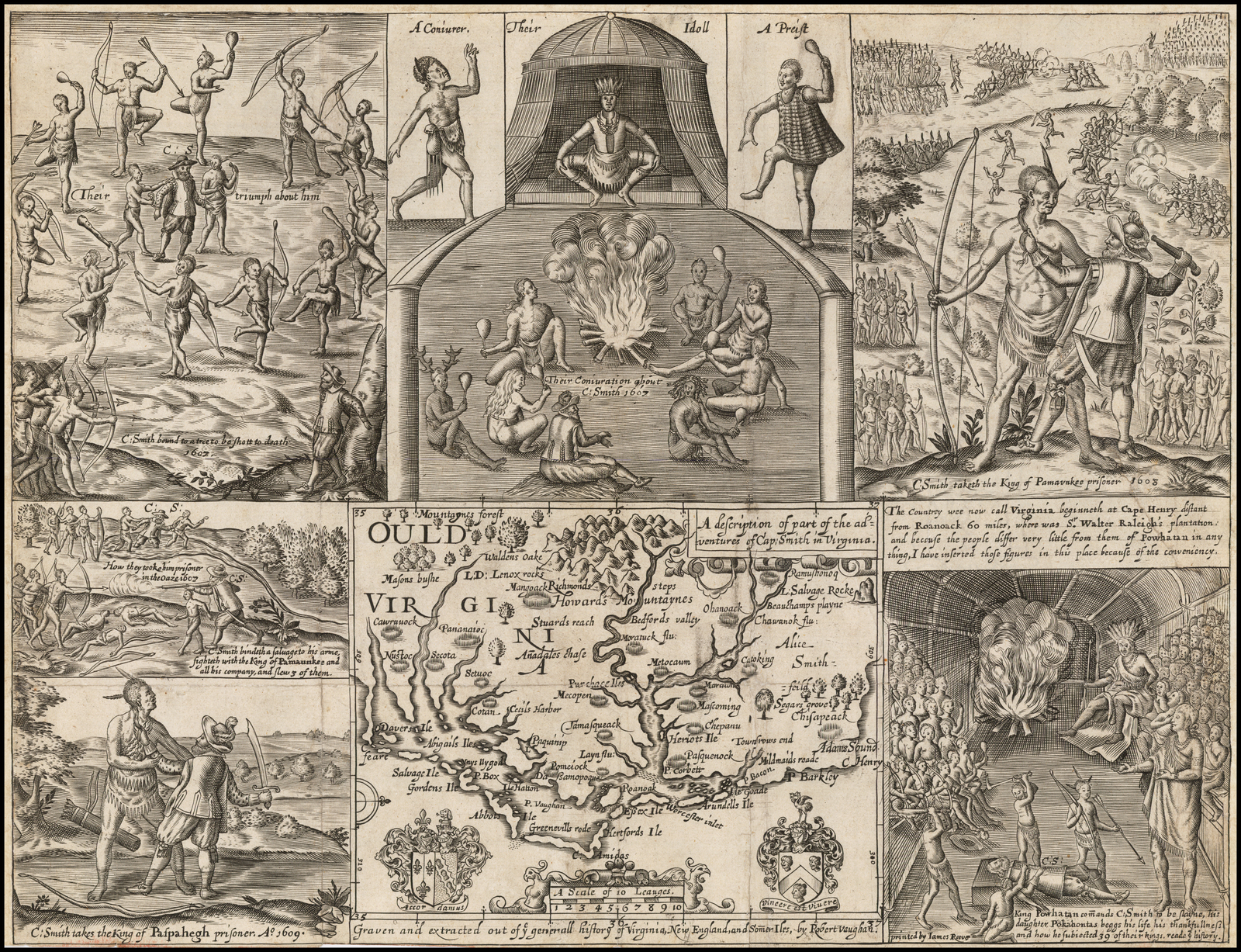
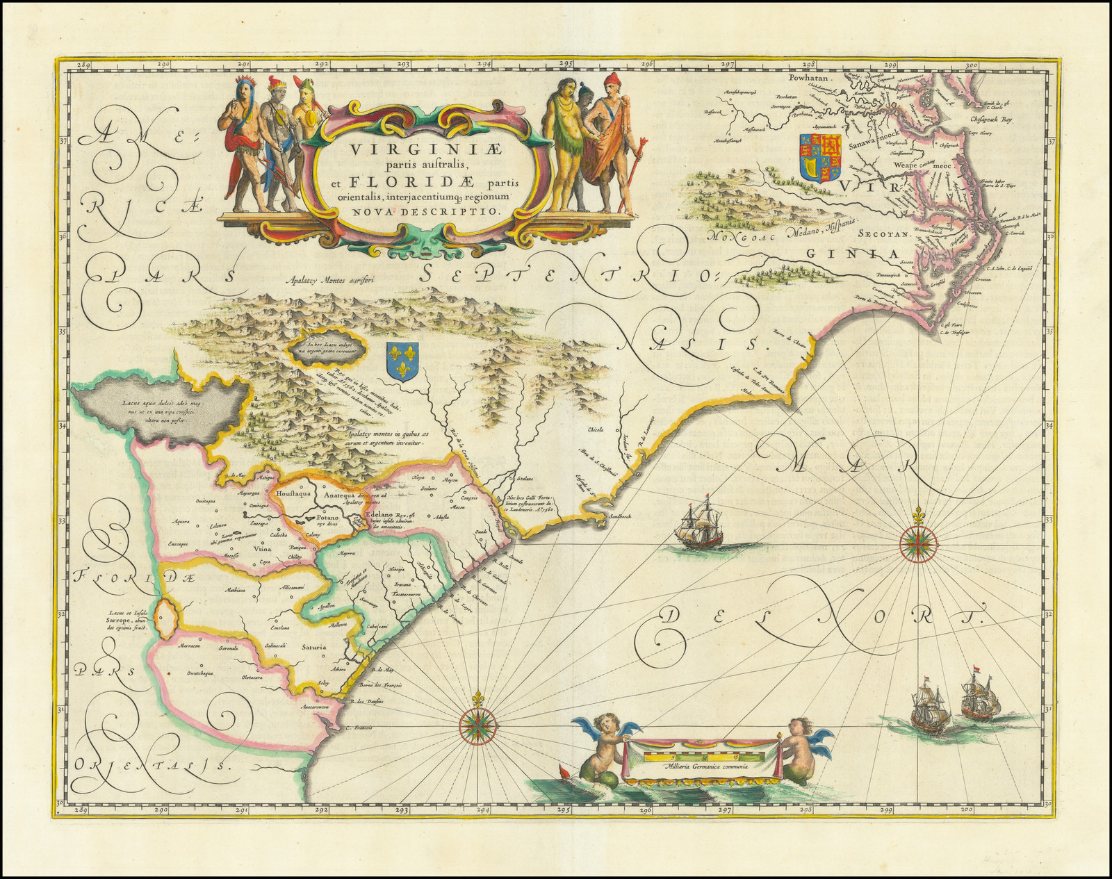
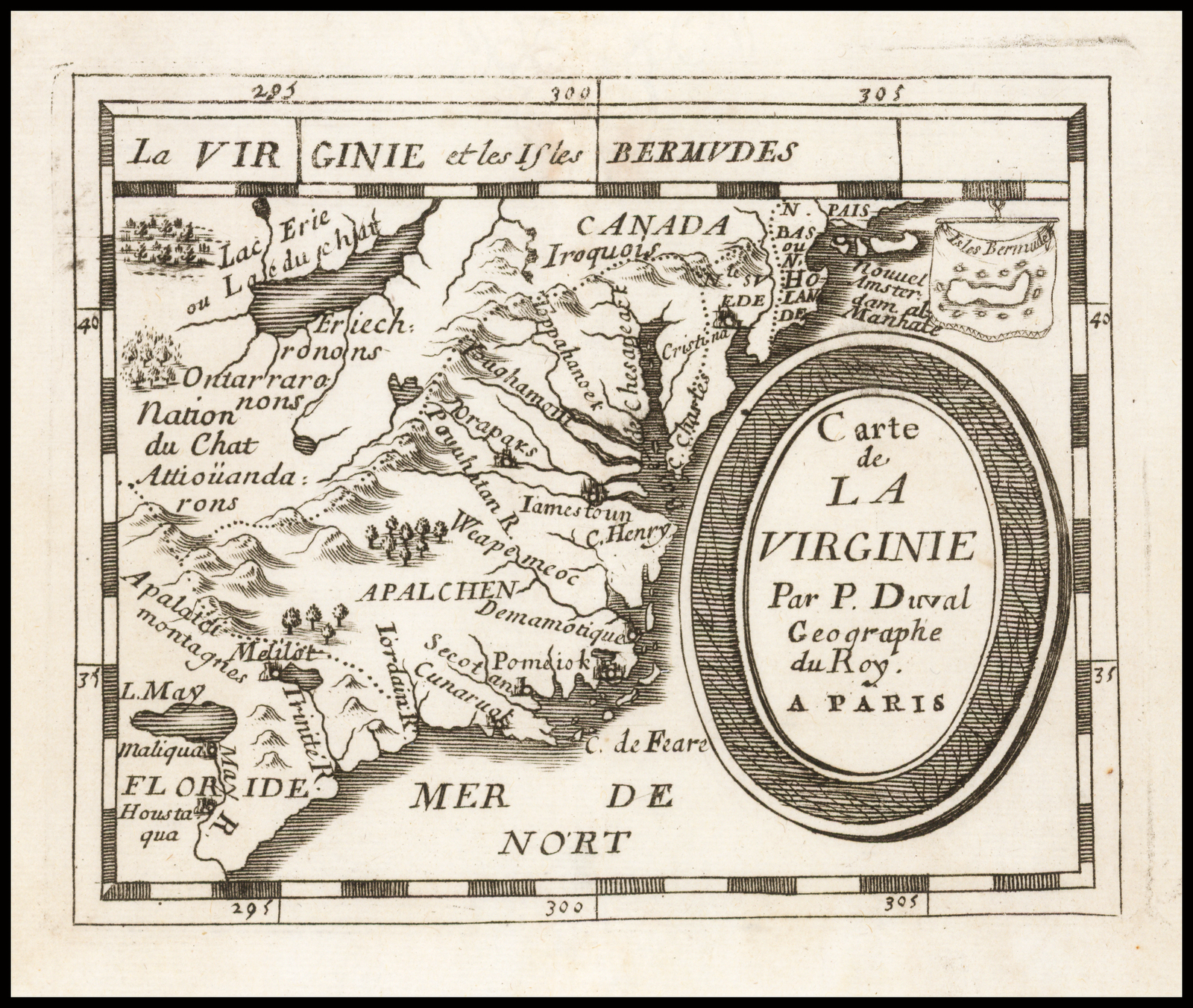
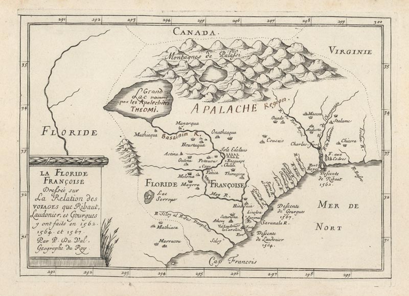
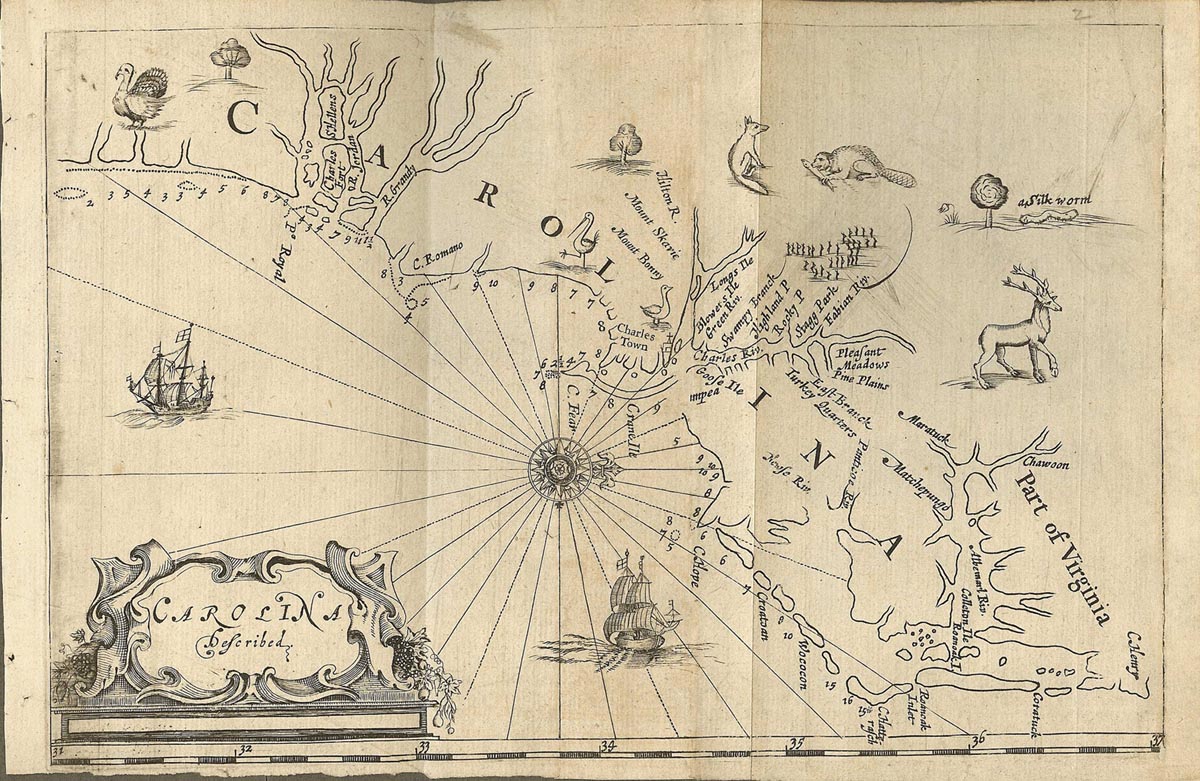
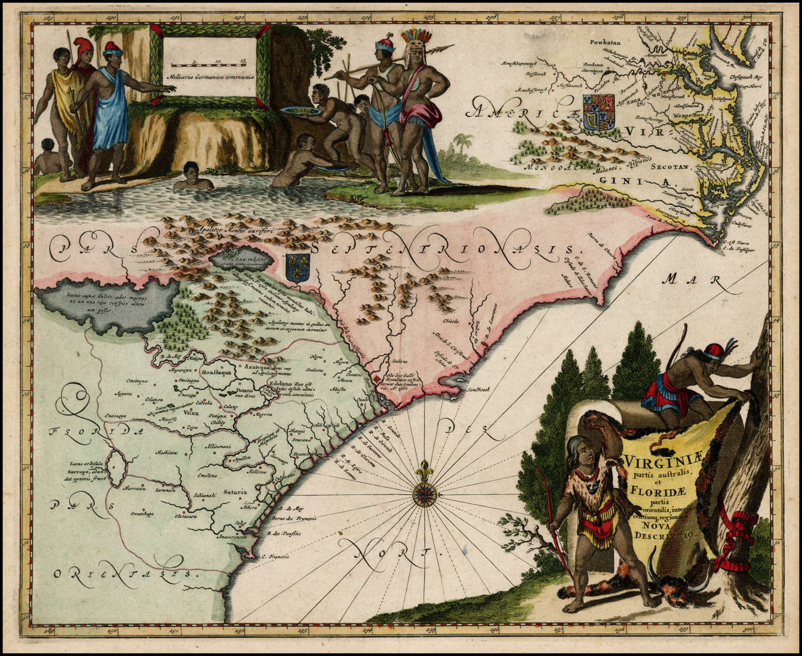
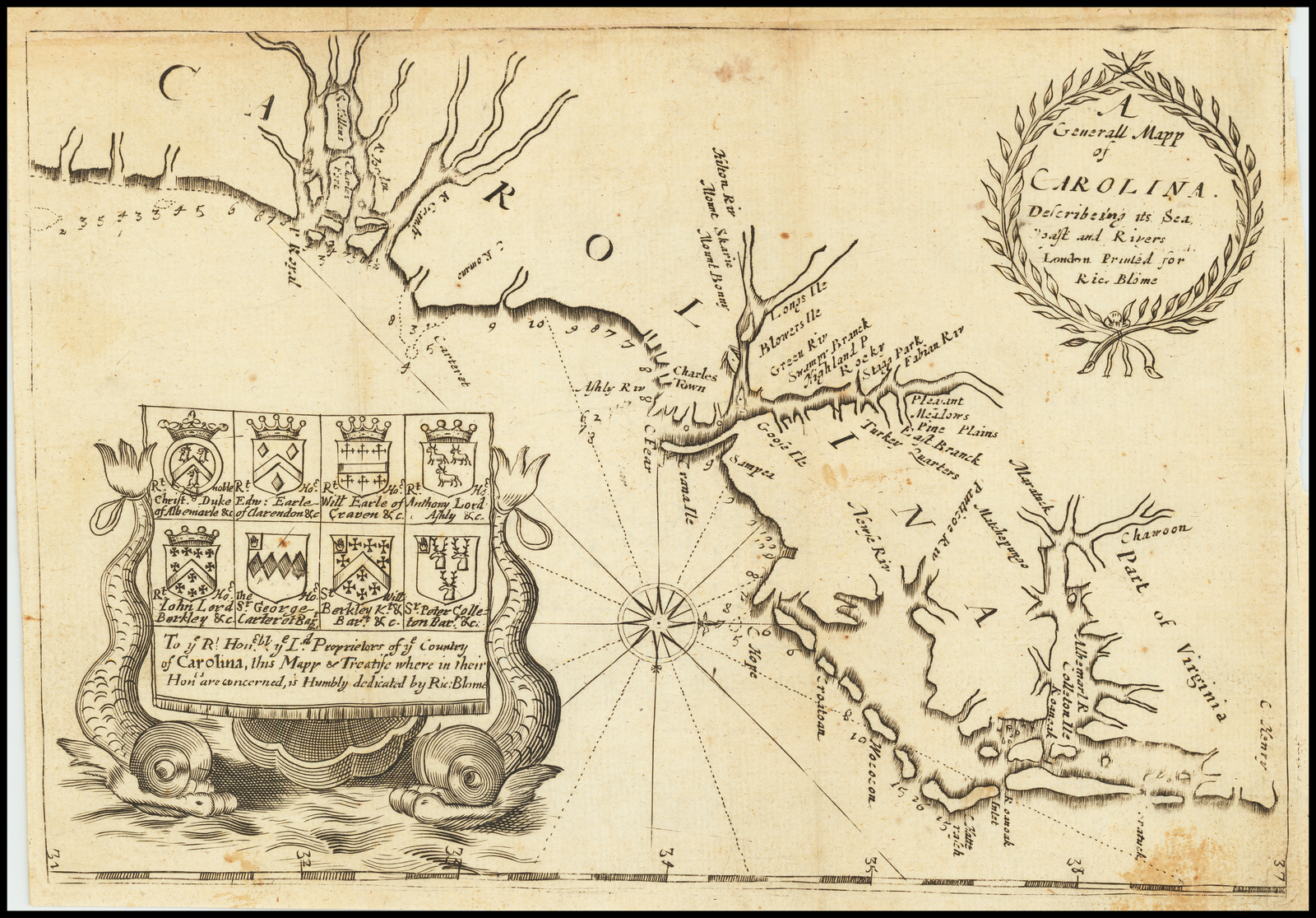
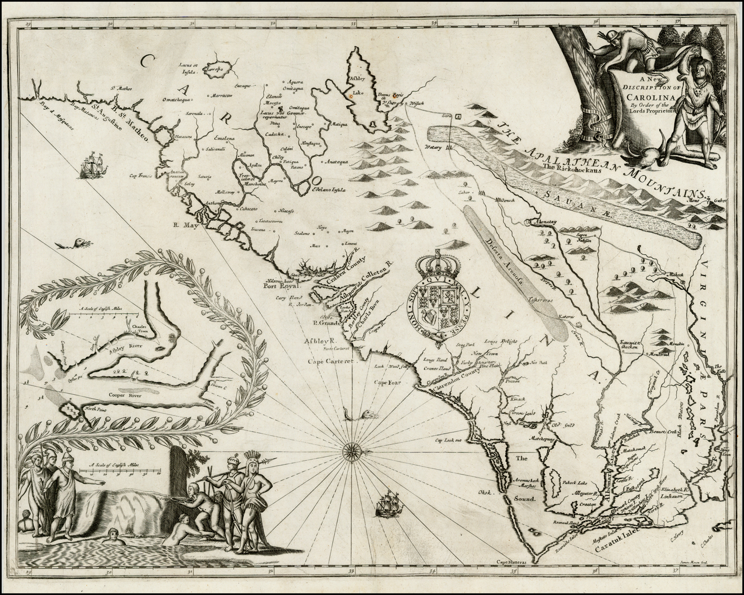
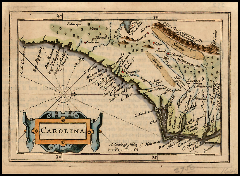
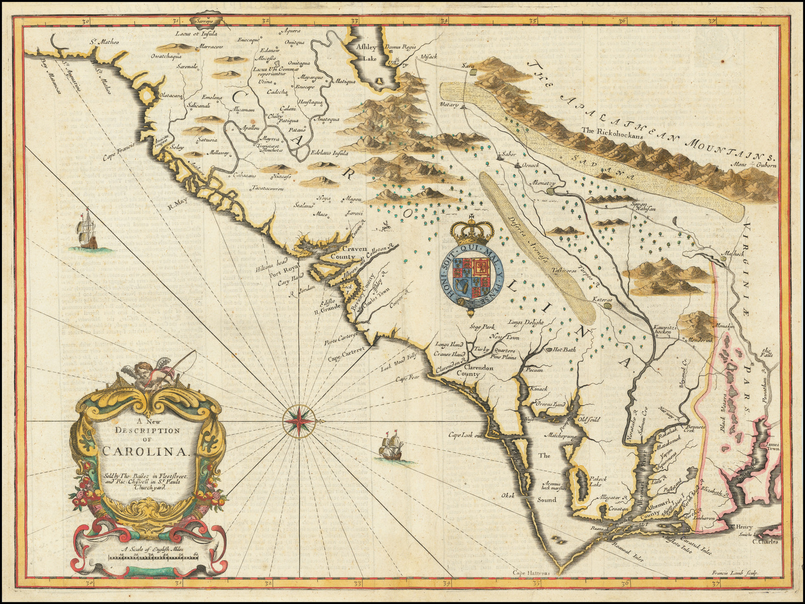
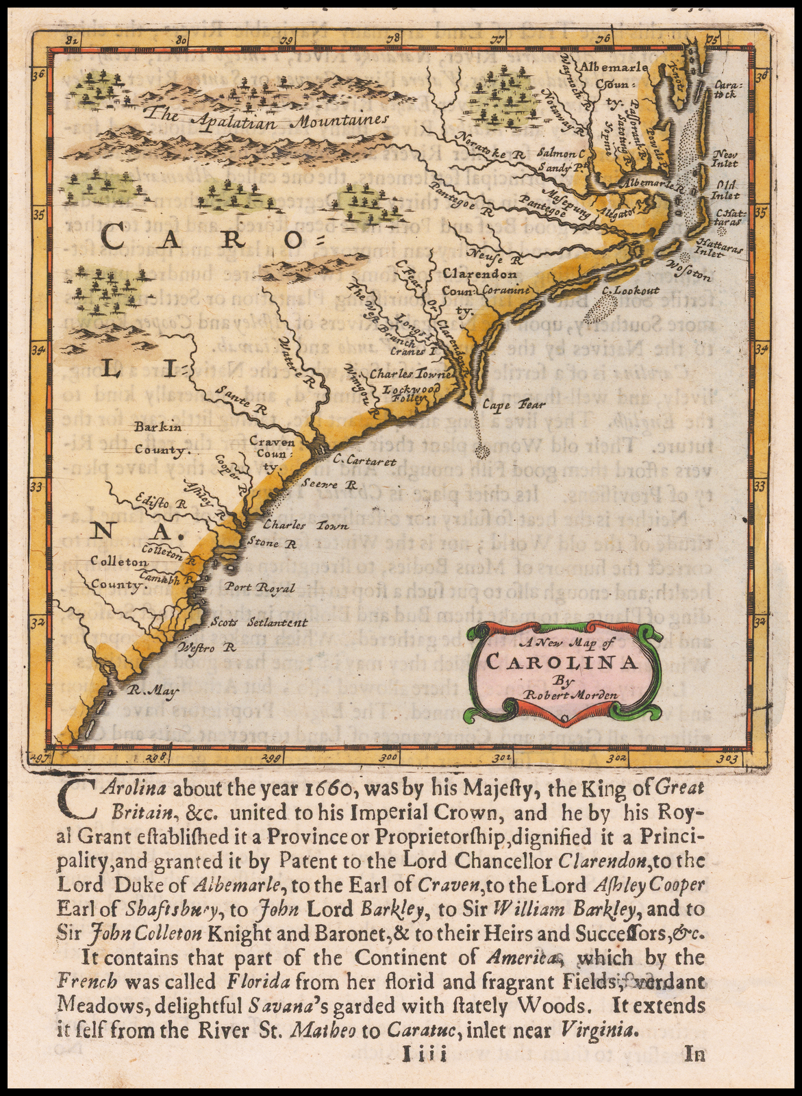
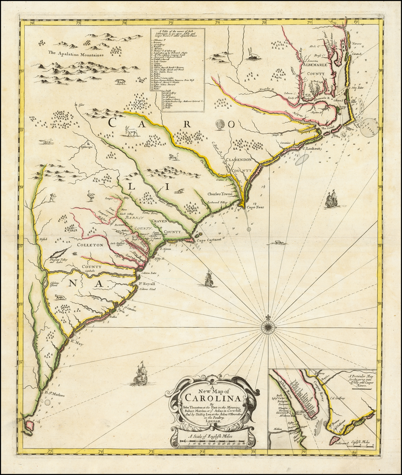
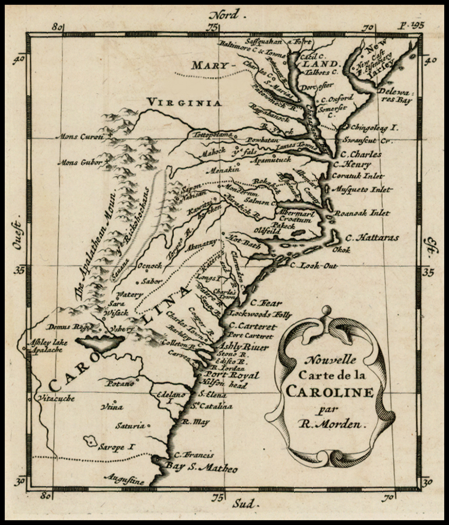
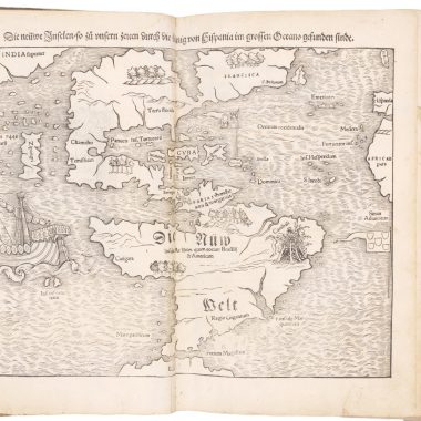
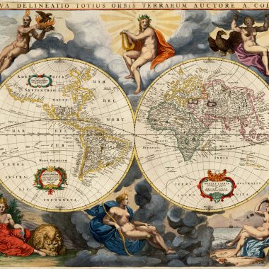
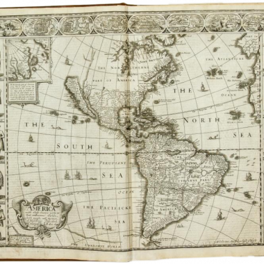
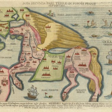
This checklist is based on research work done over a period of some ten years while assembling a study collection of maps relating to the Carolinas, for a North Carolina collector. The vast majority of the illustrations used here are of examples from this collection. While some of the more important rarities have proved elusive thus far, within the collection are some real gems.
The original basis of this checklist was William P. Cumming’s ‘The Southeast In Early Maps’, the second, revised Edition (Chapel Hill, North Carolina: University of North Carolina Press, 1962). Cumming numbers have been supplied wherever possible, and also references to Philip Burden’s ‘The Mapping Of North America’ (Rickmansworth, Hertfordshire: Raleigh Publications, 1996), although his listing ends at 1670, just as mapping of the Carolinas was undergoing the transition from the discovery period, to the phase of exploration.
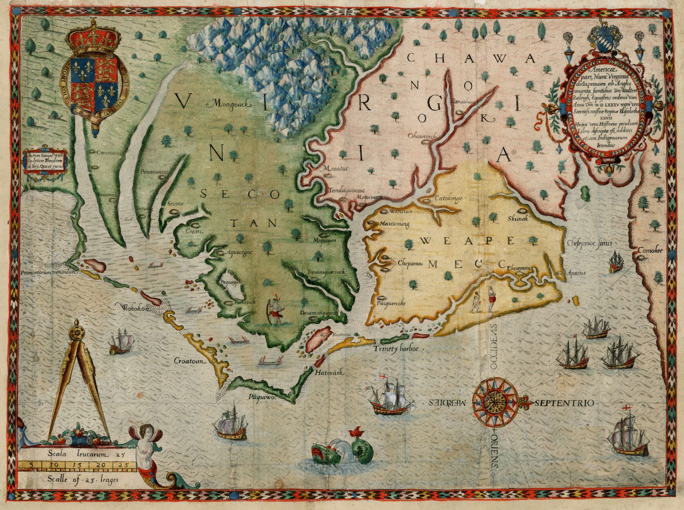
While carto-bibliographic standards have moved on since the book was first written, it is testimony to Cumming’s thoroughness that only one new map has been uncovered to add to his listing (a Dublin piracy of the map from Moll’s Atlas Minor), although his work has enabled the identification of a number of new states of previously recorded items.
It is to be hoped that this listing will itself prompt identification of new states (or even new maps), and the author would be pleased to be informed of any additions or corrections to this list.
