Map Forum
  • MapForum Articles

Archives

  • October 2022
  • September 2022
  • August 2022
  • July 2022
  • June 2022
  • May 2022
  • March 2022
  • February 2022
  • January 2022
  • December 2021

Categories

  • 10th Issue
  • 11th Issue
  • 12th Issue
  • 13th Issue
  • 14th Issue
  • 15th Issue
  • 1st Issue
  • 2nd Issue
  • 3rd Issue
  • 4th Issue
  • 5th Issue
  • 6th Issue
  • 7th Issue
  • 8th Issue
  • 9th Issue
  • MapForum Articles
Map Forum
  • MapForum Articles
Subscribe

Browsing Tag

north carolina

3 posts
mapforum
  • July 19, 2022

MapForum ArticlesPrinted Charts of the Carolinas

    1.  [1648] DUDLEY, Sir Robert  state 1Carta particolare della Virgi= / nia Vecchia è Nuoua. / La longitu:ne…
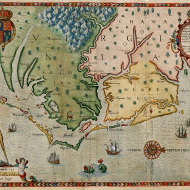
    mapforum
    • May 3, 2022

    MapForum ArticlesThe Charting of Cape Fear, N.C., 1525 to 1800

      The first European to see the Cape Fear peninsula was Giovanni da Verrazzano in 1524. Verrazzano was a…
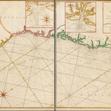
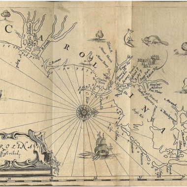
      mapforum
      • February 28, 2022

      MapForum ArticlesPrinted Maps of the Carolinas: 1590 – 1800

        This checklist is based on research work done over a period of some ten years while assembling a…

        Recent Posts

        • Collation: Zee Atlas Ofte Water-Wereldt, ca.1654-1658
        • Collation: Introduction to Jacob Aertsz. Colom
        • Collation: Atlas Maritimo o Mundo Aquatico, 1668 
        • Collation: The New Fierie Sea-Colomne, 1649 (1651)
        • Collation: The New Fierie Sea-Colomne, 1640

        Recent Comments

        1. Geography Bewitched! (Again) – Map Forum on Geography Bewitched!
        2. Beginner’s Guide: Building a Collection – Map Forum on Biography: John Speed
        3. Beginner’s Guide: Collecting – Map Forum on Biography: John Ogilby
        Map Forum
        Powered by RareMaps