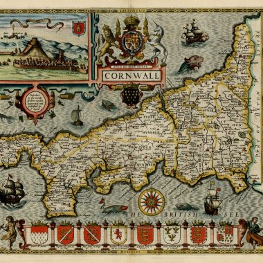
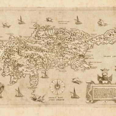
In 1627 as a complement to the Theatre, George Humble published the Prospect Of the Most Famous Parts of the World, printed by John Dawson. This World atlas contained twenty two maps, all re-issued in Bassett and Chiswell’s edition of the Prospect. The maps are, with three exceptions (of which the XVII Provinces is probably accidental), attributed to Speed, as in the title of the map of Poland:” A New Map of Poland Done into English by lohn Speede.” Other titles refer to the maps as “newly augmented” or “revised” by John Speed. The map of Africa carries the most explicit publisher’s imprint: “published at the charges of G. Humble.
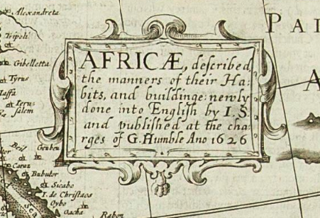
Once again, the engraving was carried out in Amsterdam. Although a specific publisher is not named, the engravers employed (Abraham Goos, Evert Symontsz Hamersveldt and Dirck Gryp) were periodically employed by Jodocus Hondius Jr. in the 1620’s, and by his brother Henry Hondius from 1630-1 onwards, suggesting a possible further connection with the Hondius family.
These three engravers are mentioned in a contract that was drawn up between Henry Hondius (and his partner Jan Jansson) and Evert Symontsz Hamersveldt and Salomon Rogiers in March 1630, in which Hamersveldt and Rogiers agreed to engrave thirty-six new plates for the Mercator-Hondius Atlas. The agreement also prevented Hondius from hiring a number of engravers, including Abraham Goos, Dirck Gryp and Salomon Savery (who engraved the portrait of Speed added to the 1631 edition of the Prospect, who were, presumably, to be employed by Hamersveldt and Rogiers on this project.
Apart from being interesting as illustrating a relationship between the group of engravers employed by Humble, this contract provides some light on the costs of engraving that might have been incurred by him in preparing the Prospect. The contract reads:
… the following 36 maps will be cut and etched at the following conditions: … These 36 maps have to be ready 18 months after this date, should be accurate and fine. yes, finer and better and not less in quality than the maps given to the engravers. The principals will pay to the undertakers 100 carolus guilders for each engraved plate and will also pay the copper itself and the polishing. Five hundred guilders will be paid in advance to afford the undertakers to pay the labourers
Koeman, II, p.345
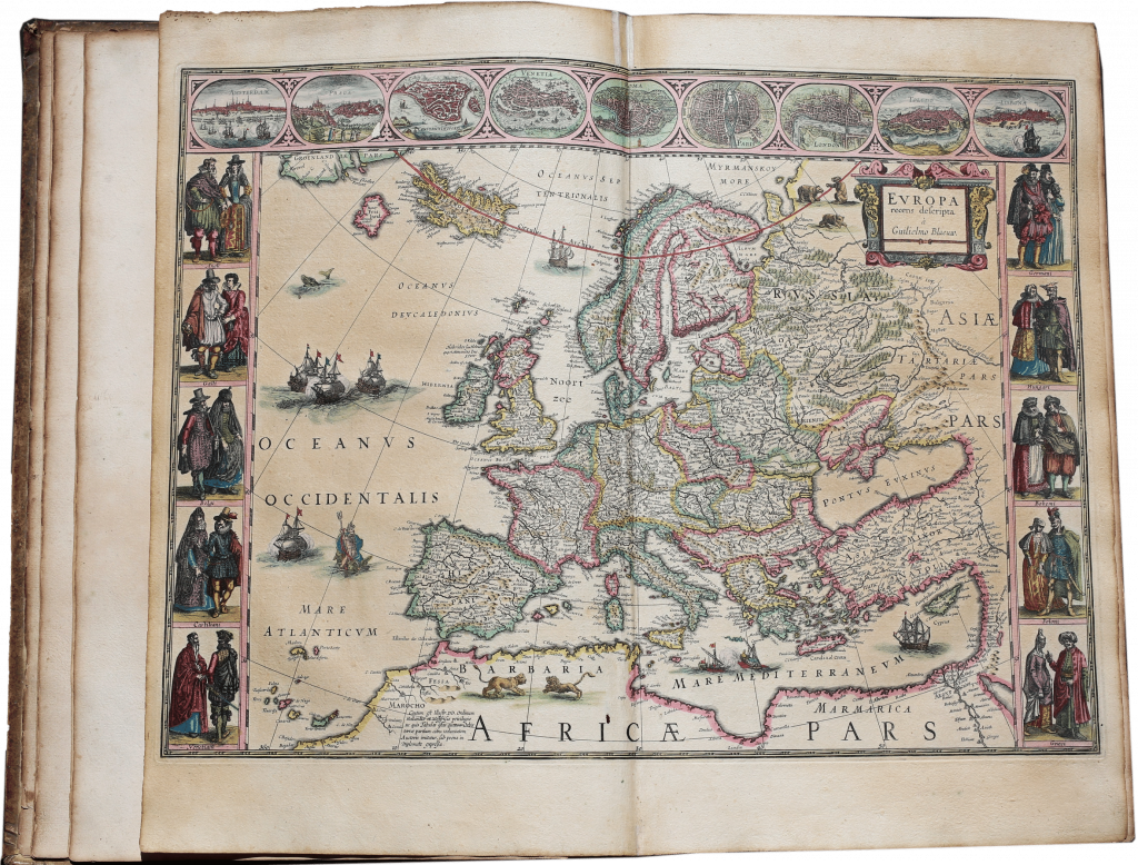
Although attributed to Speed in the title, in the main the maps are anglicized copies of examples current in Amsterdam at the time, from the stocks of Willem Blaeu, Pieter van den Keere, Claes Jansz Visscher, and the Hondius-Jansson family. The maps are from a genre characterized as cartes à figures, with side-panels depicting costume figures, and town plans and views in the upper and lower borders. This genre was popularized by Jodocus Hondius Sr.th the earliest examples being from his time in England, and his competitors were quick to adopt the practice. The particular appeal to Humble was probably the similarity in style between these maps and the county maps in the Theatre.
The two other maps not attributed to Speed are the map of the World and the map of Bermuda. The World map is Dutch in origin, perhaps based on Jodocus Hondius Jr.’s “Nova Totius Terrarum Orbis Geographica A Ilydrographica Tabula” (Shirley, 296, pl.30), but it also has a number of similarities with a rare separately published map by Thomas Grent, issued in London, in 1625, with a very similar title, “A New and Accurate Map of the World Drawne According to the Truest Descriptions, latest Discoveries and Best Observations that have been made by English or Strangers” (Shirley. 313, pl.238). An entry in the Registers of the Stationers’ Company in 1622 (Arber, Transcript, IV p.41), which seems to refer to Grent’s map, would have provided copyright protection (of a kind), and may account for the reason why the world map in the Prospect was not attributed to Speed’s authorship.
In a similar vein, the map of Bermuda is also unsigned. This too was a copy of a recent English map, drawn by Richard Norwood. Norwood made two manuscript draughts of the island. The earlier version was used by John Smith in his General Historie of Virginia, and represented little more than an outline sketch of Bermuda. The second form was completed by 1622, when the bookseller Nathaniel Newbery registered an engraved version at Stationers Hall:
Nathanael Newbury. Entred for his copie under the hands of Master Doctor Goad, and Master Knight Warden, A Plott or Mappe of Bermudas or the Summer Islands made by Richard Norwood’ … vi d.
Arber, Transcript, IV, 63
No example of this original version survives, but a reference in the text on the version in the Prospect to “this yeare 1622” would seem to establish the relationship. A proof version, without imprint, was noted in a Dutch composite atlas of circa 1626-1629, in company with a copy of Speed’s map of Bohemia, again without imprint. An example of the Bermuda map, also without imprint, was acquired by the British Library’s Map Library in 1987, and is described as “establishing that George Humble’s imprint was added by an English engraver to the Dutch engraved plates for Speed’s Prospect” (Imago Mundi, 40, 1988, p.140).
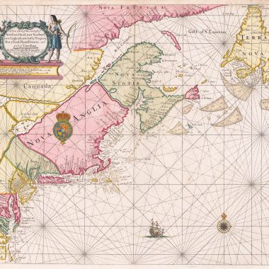
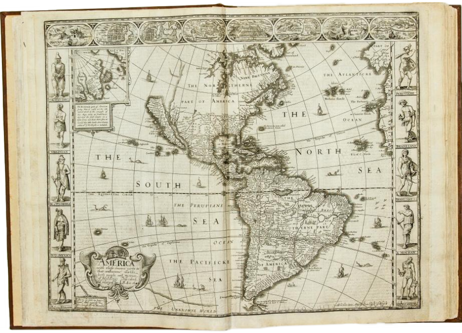
The map of America, while visually similar to typical Dutch cartes a’ figures, incorporated new information for the English colonies in North America, and Spanish material for the south-west and west coast, as found in Henry Briggs’ map of North America, from Purchas’ Hakluytus Posthumous, or Purchas His Pikgrimes (London, 1625). Perhaps the most famous feature of this map is the insular form of California, a misconception created by a captured Spanish manuscript, and perpetuated in printed maps into the 1740’s.
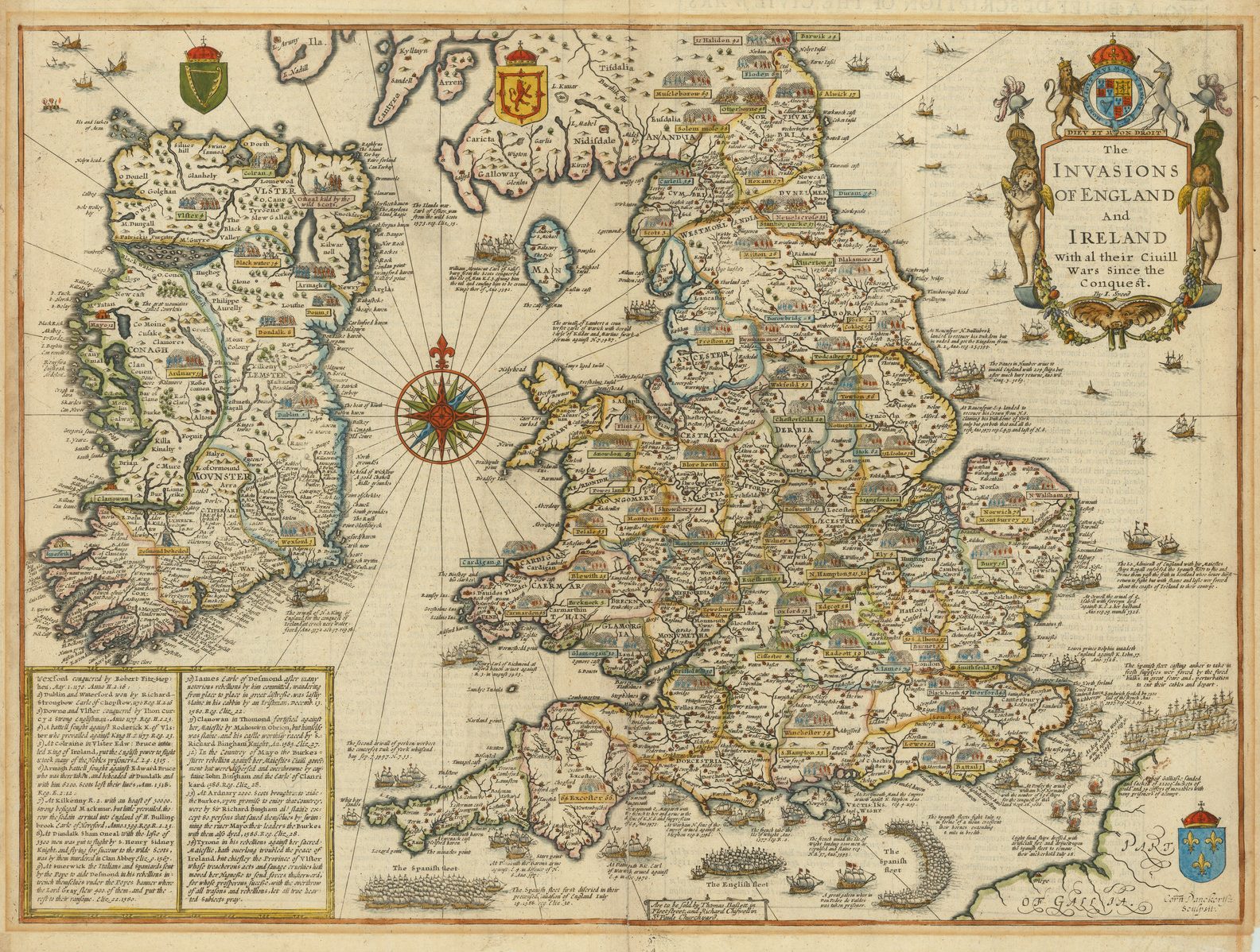
The final map from the Prospect, although it more appropriately belongs to the Theatre, was “The INVASIONS OF ENGLAND And IRELAND…”. The map is credited as “Performed by John Speed.” While certainly a subject of great interest to Speed, this attribution may merely reflect that the map is copied from one issued by Speed circa 1601, rather than that Speed was actually involved in preparing this version.
In 1626, Speed would have been about 74. In that year, in a letter of April 13th, Speed complained of “want of sight liberty and conference” (Skelton, Prospect. p.ix), as he worked on a revision of the History. Speed’s increasing blindness may have made it very difficult for him to have actively assisted (if he was involved at all), with Humble’s new World atlas. As far as the finished volume can be judged, it lacks the sense of encyclopaedic thoroughness noticeable in the Theatre.
There is no introductory material, as in the Theatre, while the selection of maps is rather random, perhaps reflecting available Dutch models to copy, rather than any particular sense of purpose. For example, there is no general map of Scandinavia, only a map of Denmark. Among corresponding Dutch maps. there are none of Scandinavia with panelled borders, but at least two (by Visscher and Jansson) of Denmark.
The weakness of the Prospect also reflects the situation in the map-trade in Amsterdam at the time. The Mercator-Hondius Atlas, first published in 1595, and last revised in 1606, had fossilized, while the next generation of atlases, to be published by the rivals Willem Blaeu and Henry Hondius, were not to appear until the beginning of the next decade. Rather, the map-sellers of Amsterdam concentrated on maps as separate publications. and this random approach is clearly seen in the selection of maps available for the Prospect.
There are also surprising omissions, which are hard to explain. As an English atlas, one would have expected it to be weighted towards the interests of the market it was aimed at, yet there are no separate maps of the English colonies in North America, despite the availability of maps to copy. Nor is there a map of the Holy Land, although Speed already had one available. If Speed was a genuine collaborator in the Prospect, surely he would have supplied his map of “Canaan”?
The text on the reverse of the maps is largely based on Peter Heylyn’s, Microcosmus, editions of which were published in 1625 and 1627 (Skelton, Prospect, p.ix).
The “Complete” Prospect – 1676
Locations of features on the map are marked with a notional grid
1 – 5 horizontally, a – e vertically.
“ob” signifies outside border
